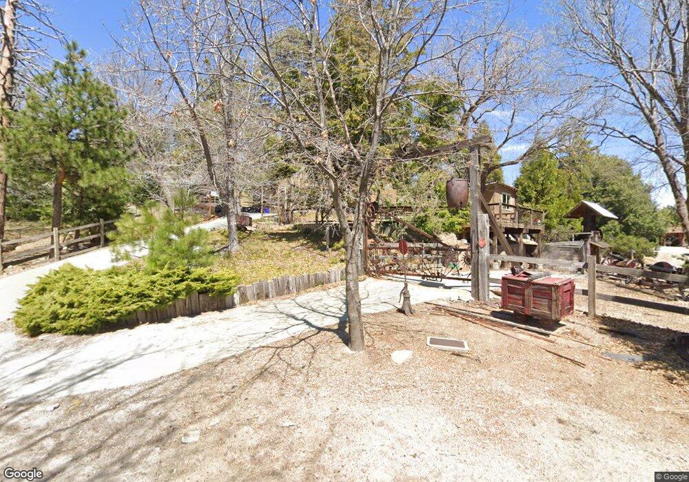
187 Ranger Dr Twin Peaks, CA 92391
Estimated Value: $476,000 - $1,008,000
4
Beds
3
Baths
3,332
Sq Ft
$206/Sq Ft
Est. Value
About This Home
This home is located at 187 Ranger Dr, Twin Peaks, CA 92391 and is currently estimated at $686,730, approximately $206 per square foot. 187 Ranger Dr is a home with nearby schools including Lake Arrowhead Elementary School, Mary P. Henck Intermediate School, and Rim Of The World Senior High School.
Ownership History
Date
Name
Owned For
Owner Type
Purchase Details
Closed on
May 15, 2024
Sold by
Schroth Debra L
Bought by
Debra L Schroth 2024 Revocable Trust and Schroth
Current Estimated Value
Purchase Details
Closed on
Dec 29, 1993
Sold by
Schroth Robert H
Bought by
Mabry Lee and Mabry Betty Ann
Home Financials for this Owner
Home Financials are based on the most recent Mortgage that was taken out on this home.
Original Mortgage
$16,500
Interest Rate
7.16%
Mortgage Type
Seller Take Back
Purchase Details
Closed on
Nov 18, 1993
Sold by
Lang Barry Christopher
Bought by
Wiener Alan H and Wiener Barbara R
Home Financials for this Owner
Home Financials are based on the most recent Mortgage that was taken out on this home.
Original Mortgage
$16,500
Interest Rate
7.16%
Mortgage Type
Seller Take Back
Create a Home Valuation Report for This Property
The Home Valuation Report is an in-depth analysis detailing your home's value as well as a comparison with similar homes in the area
Home Values in the Area
Average Home Value in this Area
Purchase History
| Date | Buyer | Sale Price | Title Company |
|---|---|---|---|
| Debra L Schroth 2024 Revocable Trust | -- | None Listed On Document | |
| Mabry Lee | $21,500 | Chicago Title Company | |
| Wiener Alan H | -- | First American Title Ins Co | |
| Wiener Alan H | -- | First American Title Ins Co |
Source: Public Records
Mortgage History
| Date | Status | Borrower | Loan Amount |
|---|---|---|---|
| Previous Owner | Mabry Lee | $16,500 |
Source: Public Records
Tax History
| Year | Tax Paid | Tax Assessment Tax Assessment Total Assessment is a certain percentage of the fair market value that is determined by local assessors to be the total taxable value of land and additions on the property. | Land | Improvement |
|---|---|---|---|---|
| 2025 | $5,350 | $397,458 | $107,747 | $289,711 |
| 2024 | $5,243 | $389,664 | $105,634 | $284,030 |
| 2023 | $4,931 | $382,024 | $103,563 | $278,461 |
| 2022 | $4,833 | $374,533 | $101,532 | $273,001 |
| 2021 | $4,776 | $367,189 | $99,541 | $267,648 |
| 2020 | $4,770 | $363,424 | $98,520 | $264,904 |
| 2019 | $4,654 | $356,298 | $96,588 | $259,710 |
| 2018 | $4,261 | $349,312 | $94,694 | $254,618 |
| 2017 | $4,173 | $342,462 | $92,837 | $249,625 |
| 2016 | $4,027 | $335,747 | $91,017 | $244,730 |
| 2015 | $3,999 | $330,704 | $89,650 | $241,054 |
| 2014 | $3,933 | $324,226 | $87,894 | $236,332 |
Source: Public Records
Map
Nearby Homes
- 26125 Augusta Dr
- 337 Lookout Dr
- 372 Cedarbrook Dr
- 305 Auburn Dr
- 26272 Thunderbird Dr
- 26335 Walnut Hills Dr
- 26333 Walnut Hills Dr
- 446 Cedarbrook Dr
- 26182 Sky Ridge Dr
- 26405 Walnut Hills Dr
- 293 Fairway Dr
- 453 Oriole Dr
- 256 N Fairway Dr
- 305 Cedarbrook Dr
- 491 Violet Dr
- 268 Cedarbrook Dr
- 196 N Fairway Dr
- 260 Eldorado Dr
- 26395 Augusta Dr
- 26328 Jacqueline Rd
- 26045 Ranger Dr
- 26045 Ranger Dr
- 167 Grandview Rd
- 26051 Ranger Dr
- 26033 Ranger Dr
- 26093 Ranger Dr
- 223 Chipmunk Dr
- 26125 Augusta Way
- 226 Chipmunk Dr
- 235 Chipmunk Dr
- 231 Chipmunk Dr
- 227 Chipmunk Dr
- 197 Grandview Rd
- 203 Grandview Rd
- 197 Grandview Rd
- 247 Chipmunk Dr
- 256 Chipmunk Dr
- 240 Chipmunk Dr
- 179 Grandview
- 0 Chipmunk Unit EV14118590
Your Personal Tour Guide
Ask me questions while you tour the home.