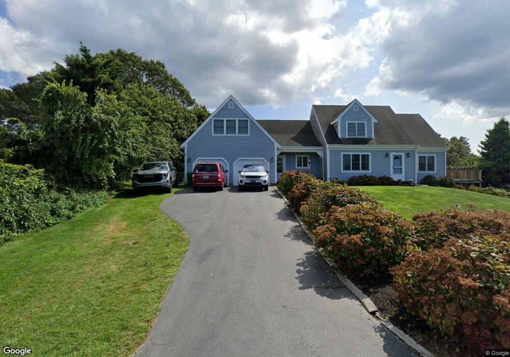
187 Robbins Hill Rd Brewster, MA 02631
Estimated Value: $1,633,000 - $3,840,000
4
Beds
3
Baths
2,492
Sq Ft
$964/Sq Ft
Est. Value
About This Home
This home is located at 187 Robbins Hill Rd, Brewster, MA 02631 and is currently estimated at $2,401,608, approximately $963 per square foot. 187 Robbins Hill Rd is a home located in Barnstable County with nearby schools including Stony Brook Elementary School, Eddy Elementary School, and Nauset Regional Middle School.
Create a Home Valuation Report for This Property
The Home Valuation Report is an in-depth analysis detailing your home's value as well as a comparison with similar homes in the area
Home Values in the Area
Average Home Value in this Area
Tax History Compared to Growth
Tax History
| Year | Tax Paid | Tax Assessment Tax Assessment Total Assessment is a certain percentage of the fair market value that is determined by local assessors to be the total taxable value of land and additions on the property. | Land | Improvement |
|---|---|---|---|---|
| 2025 | $13,149 | $1,911,200 | $1,209,200 | $702,000 |
| 2024 | $12,283 | $1,803,700 | $1,140,800 | $662,900 |
| 2023 | $11,311 | $1,618,100 | $1,018,300 | $599,800 |
| 2022 | $10,598 | $1,350,000 | $848,400 | $501,600 |
| 2021 | $9,640 | $1,123,500 | $680,800 | $442,700 |
| 2020 | $1,874 | $1,102,800 | $680,800 | $422,000 |
| 2019 | $1,853 | $1,040,200 | $654,800 | $385,400 |
| 2018 | $8,472 | $1,025,700 | $654,800 | $370,900 |
| 2017 | $1,697 | $1,006,500 | $654,800 | $351,700 |
| 2016 | $8,191 | $971,700 | $642,100 | $329,600 |
| 2015 | $7,887 | $954,800 | $629,400 | $325,400 |
Source: Public Records
Map
Nearby Homes
- 179 Robbins Hill Rd
- 72 Ambergris Cir
- 141 Robbins Hill Rd
- 211 Robbins Hill Rd
- 82 Ambergris Cir
- 180 Robbins Hill Rd
- 60 Ambergris Cir
- 157 Robbins Hill Rd
- 21 Ross Rd
- 0 Robbins Hill
- 96 Ambergris Cir
- 61 Ambergris Cir
- 229 Robbins Hill Rd
- 83 Ambergris Cir
- 52 Ambergris Cir
- 192 Robbins Hill Rd
- 0 Ross Rd
- 35 George Porter Cartway
- 196 Robbins Hill Rd
- 41 George Porter Cartway