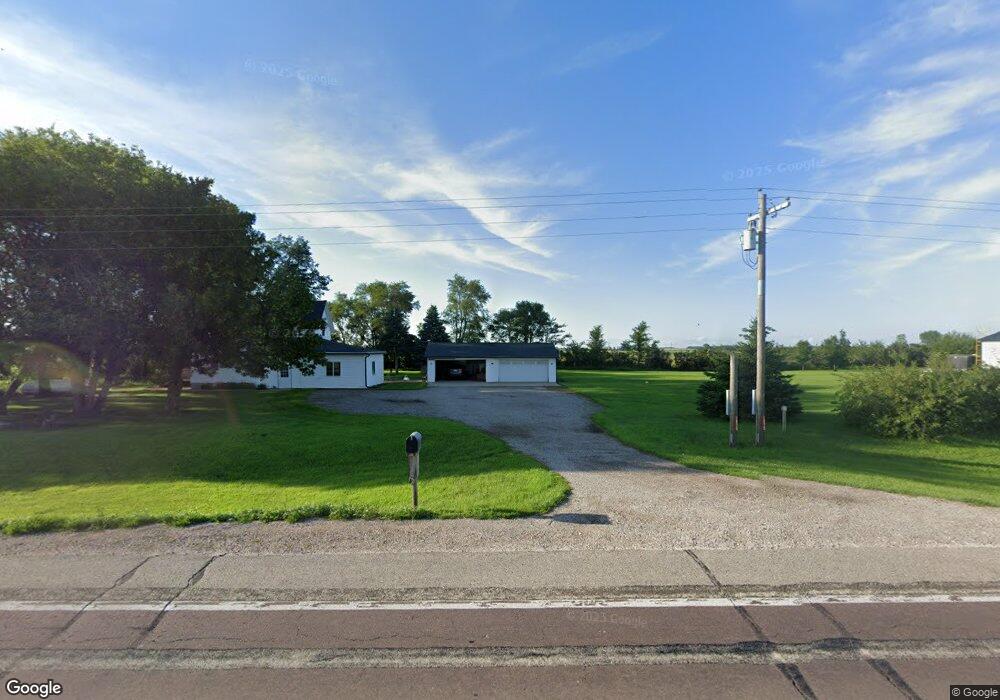
1870 Highway 18 Spencer, IA 51301
Estimated Value: $184,000 - $255,000
3
Beds
1
Bath
1,510
Sq Ft
$139/Sq Ft
Est. Value
About This Home
This home is located at 1870 Highway 18, Spencer, IA 51301 and is currently estimated at $209,697, approximately $138 per square foot. 1870 Highway 18 is a home located in Clay County with nearby schools including Johnson Elementary School, Fairview Park Elementary School, and Lincoln Elementary School.
Ownership History
Date
Name
Owned For
Owner Type
Purchase Details
Closed on
Aug 23, 2012
Sold by
Arnold Brian L and Arnold Lydia A
Bought by
Langholz Travis J and Krout Leslie R
Current Estimated Value
Home Financials for this Owner
Home Financials are based on the most recent Mortgage that was taken out on this home.
Original Mortgage
$81,000
Outstanding Balance
$55,716
Interest Rate
3.52%
Mortgage Type
New Conventional
Estimated Equity
$153,981
Create a Home Valuation Report for This Property
The Home Valuation Report is an in-depth analysis detailing your home's value as well as a comparison with similar homes in the area
Home Values in the Area
Average Home Value in this Area
Purchase History
| Date | Buyer | Sale Price | Title Company |
|---|---|---|---|
| Langholz Travis J | $90,000 | None Available |
Source: Public Records
Mortgage History
| Date | Status | Borrower | Loan Amount |
|---|---|---|---|
| Open | Langholz Travis J | $81,000 |
Source: Public Records
Tax History Compared to Growth
Tax History
| Year | Tax Paid | Tax Assessment Tax Assessment Total Assessment is a certain percentage of the fair market value that is determined by local assessors to be the total taxable value of land and additions on the property. | Land | Improvement |
|---|---|---|---|---|
| 2025 | $1,654 | $160,780 | $63,570 | $97,210 |
| 2024 | $1,654 | $153,550 | $62,320 | $91,230 |
| 2023 | $1,590 | $153,550 | $62,320 | $91,230 |
| 2022 | $1,354 | $125,780 | $49,600 | $76,180 |
| 2021 | $1,452 | $111,780 | $49,600 | $62,180 |
| 2020 | $1,452 | $110,610 | $42,000 | $68,610 |
| 2019 | $1,352 | $105,520 | $0 | $0 |
| 2018 | $1,334 | $105,520 | $0 | $0 |
| 2017 | $1,308 | $98,990 | $0 | $0 |
| 2016 | $1,314 | $98,990 | $0 | $0 |
| 2015 | $1,296 | $97,160 | $0 | $0 |
| 2014 | $1,242 | $97,160 | $0 | $0 |
Source: Public Records
Map
Nearby Homes
- 2008 22nd Ave W
- 2002 22nd Ave W
- 1906 22nd Ave W
- 1900 22nd Ave W
- 2108 20th Ave W
- 1813 22nd Ave W
- 2007 W 20th St
- 1812 22nd Ave W
- 2102 W 20th St
- 1809 22nd Ave W
- 2003 20th Ave W
- 1808 22nd Ave W
- 2008 W 20th St
- 1804 22nd Ave W
- 2002 20th Ave W
- 1905 20th Ave W
- 1901 20th Ave W
- 2201 18th Ave W
- 1322 Country Club Dr
- 1423 18th Ave W