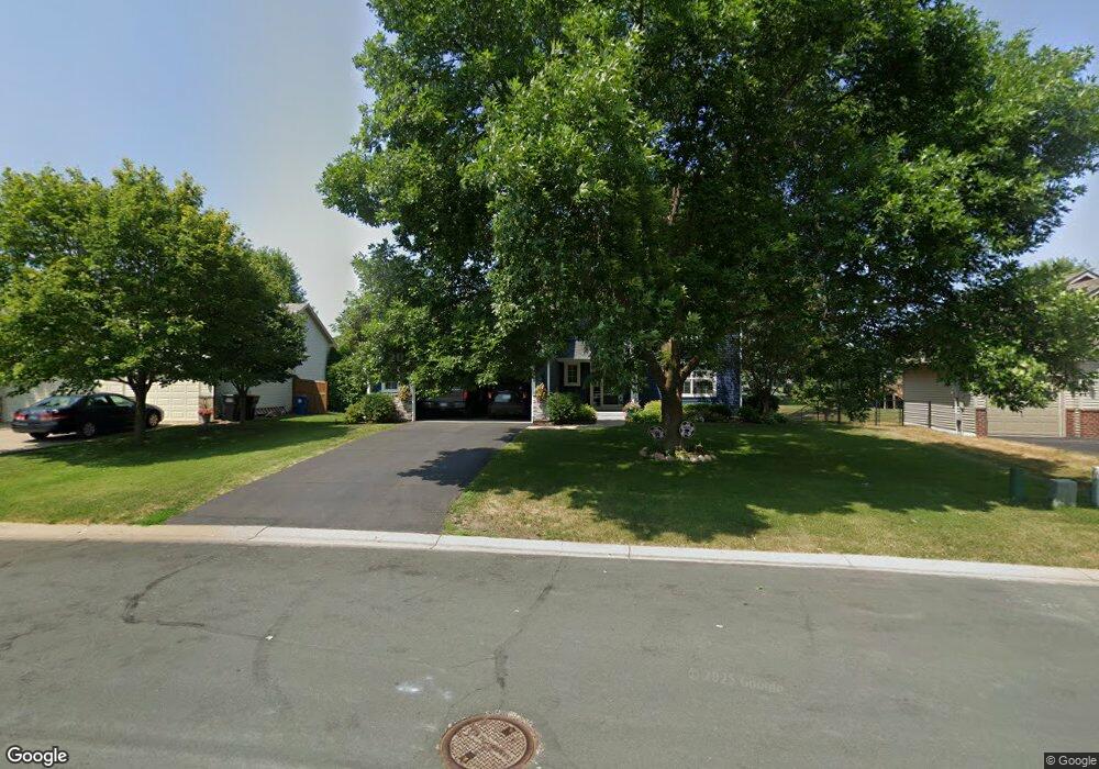
1870 Pheasant Run St Shakopee, MN 55379
Estimated Value: $499,000 - $555,000
4
Beds
4
Baths
2,848
Sq Ft
$182/Sq Ft
Est. Value
About This Home
This home is located at 1870 Pheasant Run St, Shakopee, MN 55379 and is currently estimated at $518,546, approximately $182 per square foot. 1870 Pheasant Run St is a home located in Scott County with nearby schools including Sun Path Elementary School, Shakopee West Middle School, and Shakopee Senior High School.
Ownership History
Date
Name
Owned For
Owner Type
Purchase Details
Closed on
Mar 3, 2011
Sold by
Kuhn Brian A and Kuhn Breanna R
Bought by
Anderson Raymond M and Anderson Elvia
Current Estimated Value
Home Financials for this Owner
Home Financials are based on the most recent Mortgage that was taken out on this home.
Original Mortgage
$258,477
Interest Rate
4.25%
Mortgage Type
FHA
Purchase Details
Closed on
Dec 16, 2005
Sold by
Richards Michael L and Richards Elizabeth K
Bought by
Kuhn Breanna R and Kuhn Brian A
Purchase Details
Closed on
Jul 27, 1999
Sold by
Key-Land Homes
Bought by
Richards Michael L and Richards Elizabeth K
Purchase Details
Closed on
Jan 27, 1999
Sold by
Pheasant Run Of Shakopee L L P
Bought by
Key-Land Homes
Create a Home Valuation Report for This Property
The Home Valuation Report is an in-depth analysis detailing your home's value as well as a comparison with similar homes in the area
Home Values in the Area
Average Home Value in this Area
Purchase History
| Date | Buyer | Sale Price | Title Company |
|---|---|---|---|
| Anderson Raymond M | $265,300 | -- | |
| Kuhn Breanna R | $315,000 | -- | |
| Richards Michael L | $180,824 | -- | |
| Key-Land Homes | $42,900 | -- |
Source: Public Records
Mortgage History
| Date | Status | Borrower | Loan Amount |
|---|---|---|---|
| Previous Owner | Anderson Raymond M | $258,477 | |
| Closed | Key-Land Homes | -- |
Source: Public Records
Tax History
| Year | Tax Paid | Tax Assessment Tax Assessment Total Assessment is a certain percentage of the fair market value that is determined by local assessors to be the total taxable value of land and additions on the property. | Land | Improvement |
|---|---|---|---|---|
| 2025 | $5,152 | $485,900 | $152,600 | $333,300 |
| 2024 | $5,044 | $490,700 | $152,600 | $338,100 |
| 2023 | $5,108 | $470,900 | $145,300 | $325,600 |
| 2022 | $4,728 | $468,200 | $165,100 | $303,100 |
| 2021 | $4,286 | $373,800 | $128,300 | $245,500 |
| 2020 | $4,320 | $369,900 | $123,100 | $246,800 |
| 2019 | $3,966 | $330,400 | $114,700 | $215,700 |
| 2018 | $4,480 | $0 | $0 | $0 |
| 2016 | $4,464 | $0 | $0 | $0 |
| 2014 | -- | $0 | $0 | $0 |
Source: Public Records
Map
Nearby Homes
- 2542 Mathias Rd
- 1672 Bedford Ln
- 1646 Chadum Ln
- 1844 Mockingbird Ave Unit 1102
- 1820 Mockingbird Ave
- 1819 Mockingbird Ave
- 1596 Chartreux Ave
- 2655 King Ave
- 2447 Tyrone Dr
- 2039 Brittany Ct
- 2027 Brittany Ct
- 1624 Philipp Way
- 1511 England Way
- 2468 Valley View Rd
- 2529 Green Ash Ave
- 2006 Tyrone Dr
- Lewis Plan at Summerland Place - Landmark Collection
- Vanderbilt Plan at Summerland Place - Landmark Collection
- Sinclair Plan at Summerland Place - Landmark Collection
- 2817 Downing Ave
- 1882 Pheasant Run St
- 1858 Pheasant Run St
- 2203 Mathias Rd
- 1894 Pheasant Run St
- 2192 Groveland Way
- 2202 Groveland Way
- 2187 Mathias Rd
- 1852 Quail Dr
- 2299 Mathias Rd
- 2182 Groveland Way
- 2171 Mathias Rd
- 1843 Quail Dr
- 1847 Quail Dr
- 1856 Quail Dr
- 1839 Quail Dr
- 1906 Pheasant Run St
- 1851 Quail Dr
- 2198 Mathias Rd
- 2315 Mathias Rd
- 2172 Groveland Way