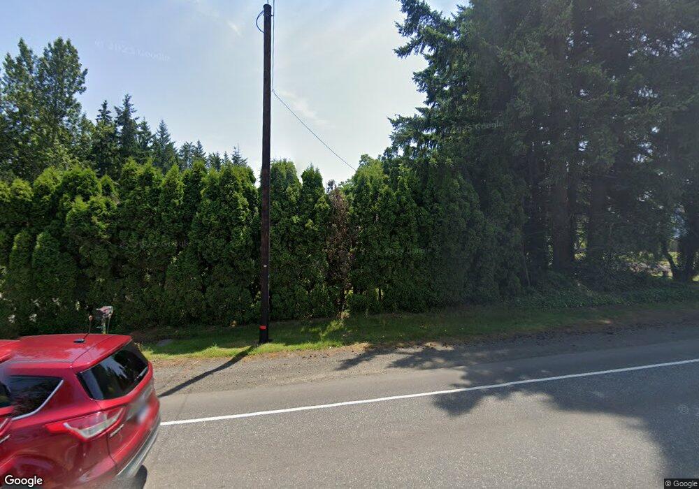
18700 SE Highway 212 Damascus, OR 97089
Estimated Value: $569,316 - $744,000
3
Beds
1
Bath
2,424
Sq Ft
$258/Sq Ft
Est. Value
About This Home
This home is located at 18700 SE Highway 212, Damascus, OR 97089 and is currently estimated at $624,329, approximately $257 per square foot. 18700 SE Highway 212 is a home located in Clackamas County with nearby schools including Deep Creek - Damascus K-8 School, Sam Barlow High School, and Deep Creek-Damascus K-8 School.
Ownership History
Date
Name
Owned For
Owner Type
Purchase Details
Closed on
Aug 2, 2021
Sold by
Mourlas John and Mourlas John F
Bought by
Mourlas John
Current Estimated Value
Home Financials for this Owner
Home Financials are based on the most recent Mortgage that was taken out on this home.
Original Mortgage
$246,237
Outstanding Balance
$223,078
Interest Rate
2.8%
Estimated Equity
$401,251
Purchase Details
Closed on
Feb 20, 2002
Sold by
Dixon Janet
Bought by
Mourlas John and Mourlas John F
Create a Home Valuation Report for This Property
The Home Valuation Report is an in-depth analysis detailing your home's value as well as a comparison with similar homes in the area
Home Values in the Area
Average Home Value in this Area
Purchase History
| Date | Buyer | Sale Price | Title Company |
|---|---|---|---|
| Mourlas John | -- | Old Republic Title Co Of Or | |
| Mourlas John | $63,000 | First American Title Ins Co |
Source: Public Records
Mortgage History
| Date | Status | Borrower | Loan Amount |
|---|---|---|---|
| Open | Mourlas John | $246,237 |
Source: Public Records
Tax History Compared to Growth
Tax History
| Year | Tax Paid | Tax Assessment Tax Assessment Total Assessment is a certain percentage of the fair market value that is determined by local assessors to be the total taxable value of land and additions on the property. | Land | Improvement |
|---|---|---|---|---|
| 2025 | $3,543 | $220,593 | -- | -- |
| 2024 | $3,384 | $214,168 | -- | -- |
| 2023 | $3,384 | $207,931 | $0 | $0 |
| 2022 | $3,105 | $201,875 | $0 | $0 |
| 2021 | $3,006 | $195,996 | $0 | $0 |
| 2020 | $2,922 | $190,288 | $0 | $0 |
| 2019 | $2,852 | $184,746 | $0 | $0 |
| 2018 | $2,709 | $179,365 | $0 | $0 |
| 2017 | $2,600 | $174,141 | $0 | $0 |
| 2016 | $2,208 | $169,069 | $0 | $0 |
| 2015 | $2,514 | $164,145 | $0 | $0 |
| 2014 | $2,453 | $159,364 | $0 | $0 |
Source: Public Records
Map
Nearby Homes
- 18680 SE Highway 212
- 14543 SE West Park Ct
- 18027 SE Emi St
- 0 SE Armstrong Cir
- 14120 SE Brent Ave
- 14548 SE 172nd Ave
- 14790 SE 172nd Ave
- 13633 SE 178th Ave
- 17156 SE Macanudo St
- 17063 SE Macanudo St
- 20320 SE Walgren Rd
- 15566 SE Melinda Ct
- 15556 SE Gladys Rose Way
- 15400 SE Barlow Ct
- 16911 SE Siri Ct
- 16566 SE Deer Meadow Loop
- 16381 SE Deer Meadow Loop
- 20160 SE Foster Rd
- 12672 SE 172nd Ave
- 17310 SE Crossroads Ave
- 18761 SE Highway 212
- 18677 SE Highway 212
- 18860 SE Highway 212
- 18666 SE Highway 212
- 18666 Or-212
- 14970 SE 187th Ave
- 18670 SE Highway 212
- 18912 SE Highway 212
- 14917 SE 187th Ave
- 18913 SE Highway 212
- 18916 SE Highway 212
- 14805 SE 187th Ave
- 18672 SE Highway 212
- 14929 SE 187th Ave
- 14933 SE North Ct
- 18453 SE Highway 212
- 18920 SE Highway 212
- 14934 SE North Ct
- 14855 SE North Ct
- 18891 SE Highway 212
