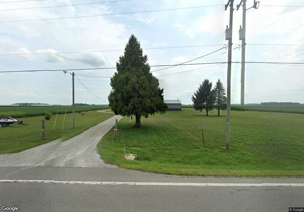
18700 State Route 67 Kenton, OH 43326
Estimated Value: $192,000 - $279,000
2
Beds
1
Bath
1,280
Sq Ft
$181/Sq Ft
Est. Value
About This Home
This home is located at 18700 State Route 67, Kenton, OH 43326 and is currently estimated at $231,201, approximately $180 per square foot. 18700 State Route 67 is a home located in Hardin County with nearby schools including Kenton Elementary School, Kenton Middle School, and Kenton High School.
Ownership History
Date
Name
Owned For
Owner Type
Purchase Details
Closed on
Aug 20, 2018
Sold by
Pfister Sonia E and Martino Sonia E
Bought by
Shafer Chad
Current Estimated Value
Purchase Details
Closed on
Aug 22, 2010
Sold by
Martino Dean E and Martino Sonia E
Bought by
Martino Dean E and Martino Sonia E
Purchase Details
Closed on
Aug 28, 2007
Sold by
Cahill Russell C
Bought by
Martino Dean E and Martino Sonia E
Purchase Details
Closed on
Mar 13, 2007
Sold by
Drumm Kenneth
Bought by
Cahill Russell C
Purchase Details
Closed on
Nov 16, 1995
Bought by
Drumm Kenneth and Drumm Teresa
Purchase Details
Closed on
Jun 30, 1993
Bought by
Campbell Margaret L
Purchase Details
Closed on
Oct 23, 1991
Create a Home Valuation Report for This Property
The Home Valuation Report is an in-depth analysis detailing your home's value as well as a comparison with similar homes in the area
Home Values in the Area
Average Home Value in this Area
Purchase History
| Date | Buyer | Sale Price | Title Company |
|---|---|---|---|
| Shafer Chad | $10,000 | None Available | |
| Martino Dean E | -- | -- | |
| Martino Dean E | -- | None Available | |
| Cahill Russell C | $3,800 | None Available | |
| Drumm Kenneth | -- | -- | |
| Campbell Margaret L | -- | -- | |
| -- | -- | -- |
Source: Public Records
Tax History Compared to Growth
Tax History
| Year | Tax Paid | Tax Assessment Tax Assessment Total Assessment is a certain percentage of the fair market value that is determined by local assessors to be the total taxable value of land and additions on the property. | Land | Improvement |
|---|---|---|---|---|
| 2024 | $2,481 | $56,510 | $7,000 | $49,510 |
| 2023 | $2,481 | $56,510 | $7,000 | $49,510 |
| 2022 | $2,227 | $46,520 | $4,410 | $42,110 |
| 2021 | $2,235 | $46,520 | $4,410 | $42,110 |
| 2020 | $1,992 | $47,570 | $5,460 | $42,110 |
| 2019 | $158 | $4,000 | $2,100 | $1,900 |
| 2018 | $159 | $4,000 | $2,100 | $1,900 |
| 2017 | $78 | $4,000 | $2,100 | $1,900 |
| 2016 | $146 | $3,960 | $2,100 | $1,860 |
| 2015 | $146 | $3,960 | $2,100 | $1,860 |
| 2014 | $73 | $3,960 | $2,100 | $1,860 |
| 2013 | $78 | $3,960 | $2,100 | $1,860 |
Source: Public Records
Map
Nearby Homes
- 18322 State Route 67
- 10483 Township Road 225
- 21109 State Route 67
- 12535 Barbara Dr
- 12126 Pamela Dr
- 12160 Pamela Dr
- 9960 State Route 53
- 125 Hester St
- 777 Maydoll Dr
- 13965 County Road 209
- 460 Oriental St
- 79 Broadway St
- 115 Scioto St
- 618 N High St
- 530 E Franklin St
- 513 E Franklin St
- 602 N Wayne St
- 416 N Cherry St
- 215 Henry St
- 506 E Franklin St
- 18627 State Route 67
- Lot OS Ohio 67
- 6593 Ohio 67
- 0 Ohio 67
- 18496 State Route 67
- 18636 County Road 110
- 18470 State Route 67
- 18438 State Route 67
- 18513 County Road 110
- 18487 County Road 110
- 18459 County Road 110
- 000 Twp Road 205
- 9387 County Road 205
- 9828 Township Road 197
- 18322 Ohio 67
- 19121 State Route 67
- 9436 Township Road 197
- 18268 State Route 67
- 19194 County Road 110
- 9087 County Road 205