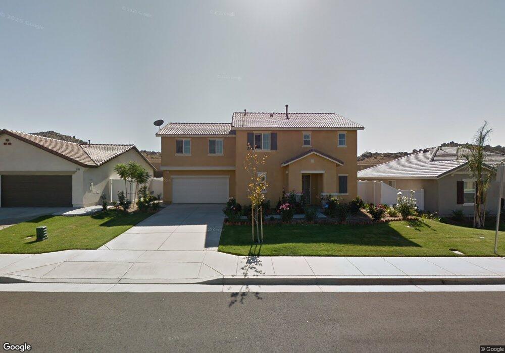
1871 Caltha Way Perris, CA 92571
North Perris NeighborhoodEstimated Value: $552,379 - $596,000
4
Beds
3
Baths
2,236
Sq Ft
$258/Sq Ft
Est. Value
About This Home
This home is located at 1871 Caltha Way, Perris, CA 92571 and is currently estimated at $576,595, approximately $257 per square foot. 1871 Caltha Way is a home located in Riverside County with nearby schools including Sierra Vista Elementary School, Lakeside Middle School, and Rancho Verde High School.
Ownership History
Date
Name
Owned For
Owner Type
Purchase Details
Closed on
May 14, 2010
Sold by
Kb Home Coastal Inc
Bought by
Lee David C
Current Estimated Value
Home Financials for this Owner
Home Financials are based on the most recent Mortgage that was taken out on this home.
Original Mortgage
$227,309
Outstanding Balance
$152,207
Interest Rate
5.03%
Mortgage Type
FHA
Estimated Equity
$424,388
Create a Home Valuation Report for This Property
The Home Valuation Report is an in-depth analysis detailing your home's value as well as a comparison with similar homes in the area
Home Values in the Area
Average Home Value in this Area
Purchase History
| Date | Buyer | Sale Price | Title Company |
|---|---|---|---|
| Lee David C | $232,000 | First Amer Title Ins Co Hsd |
Source: Public Records
Mortgage History
| Date | Status | Borrower | Loan Amount |
|---|---|---|---|
| Open | Lee David C | $227,309 |
Source: Public Records
Tax History
| Year | Tax Paid | Tax Assessment Tax Assessment Total Assessment is a certain percentage of the fair market value that is determined by local assessors to be the total taxable value of land and additions on the property. | Land | Improvement |
|---|---|---|---|---|
| 2025 | $5,972 | $298,810 | $51,624 | $247,186 |
| 2023 | $5,972 | $287,209 | $49,620 | $237,589 |
| 2022 | $5,751 | $281,579 | $48,648 | $232,931 |
| 2021 | $5,483 | $276,059 | $47,695 | $228,364 |
| 2020 | $5,442 | $273,229 | $47,206 | $226,023 |
| 2019 | $5,250 | $267,873 | $46,281 | $221,592 |
| 2018 | $5,187 | $262,622 | $45,374 | $217,248 |
| 2017 | $5,100 | $257,474 | $44,485 | $212,989 |
| 2016 | $5,082 | $252,426 | $43,613 | $208,813 |
| 2015 | $5,094 | $248,636 | $42,959 | $205,677 |
| 2014 | $5,003 | $241,000 | $42,000 | $199,000 |
Source: Public Records
Map
Nearby Homes
- 27366 Dunite Dr
- 27354 Dunite Dr
- 27330 Dunite Dr
- 27318 Dunite Dr
- 27379 Dunite Dr
- 27365 Dunite Dr
- 27353 Dunite Dr
- 27341 Dunite Dr
- 27329 Dunite Dr
- 27315 Dunite Dr
- 27344 Fossil Cove
- 27279 Fossil Cove
- 27334 Fossil Cove
- 27322 Fossil Cove
- 27328 Fossil Cove
- 27321 Fossil Cove
- 1910 Mount Verdugo Ln
- 1752 Campanella Dr
- 3080 Kalei Ct
- 3374 Wind Chime Ln
- 1863 Caltha Way
- 1879 Caltha Way
- 1887 Caltha Way
- 1855 Caltha Way
- 3038 Jacinta Dr
- 3045 Gazania Dr
- 1847 Caltha Way
- 1895 Caltha Way
- 3042 Jacinta Dr
- 3049 Gazania Dr
- 3035 Jacinta Dr
- 1839 Caltha Way
- 3046 Jacinta Dr
- 3048 Gazania Dr
- 3039 Jacinta Dr
- 3053 Gazania Dr
- 3026 Tansy Cir
- 3022 Tansy Cir
- 3018 Tansy Cir
- 3050 Jacinta Dr
Your Personal Tour Guide
Ask me questions while you tour the home.