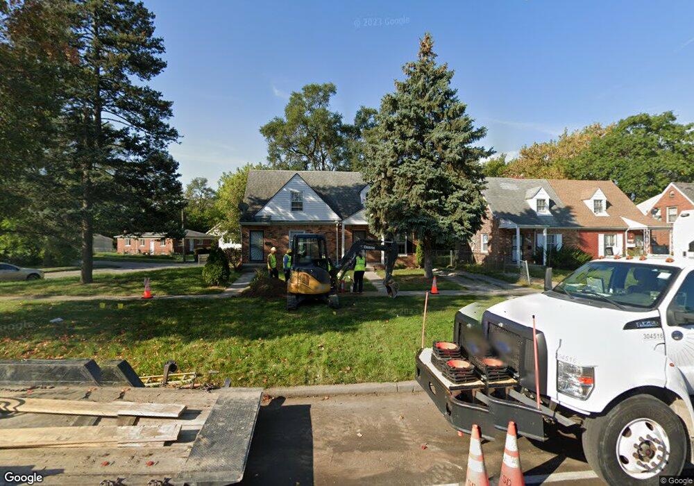
18715 Morang Dr Detroit, MI 48205
Maple Ridge NeighborhoodEstimated Value: $55,000 - $213,000
--
Bed
1
Bath
840
Sq Ft
$117/Sq Ft
Est. Value
About This Home
This home is located at 18715 Morang Dr, Detroit, MI 48205 and is currently estimated at $98,432, approximately $117 per square foot. 18715 Morang Dr is a home located in Wayne County with nearby schools including Edward 'Duke' Ellington Conservatory of Music and Art, Charles L. Spain Elementary-Middle School, and Denby High School.
Ownership History
Date
Name
Owned For
Owner Type
Purchase Details
Closed on
Oct 31, 2023
Sold by
Highland Park Management Group Inc
Bought by
Pipeline Properties Llc
Current Estimated Value
Purchase Details
Closed on
Apr 30, 2018
Sold by
Foster Andrea
Bought by
Hicks Christopher
Purchase Details
Closed on
Oct 1, 2014
Sold by
The Maclennan Trust
Bought by
Foster Andrea
Purchase Details
Closed on
Mar 4, 2011
Sold by
Maclennan Kenneth Douglas
Bought by
Maclennan Kenneth Douglas and Maclennan Trust
Create a Home Valuation Report for This Property
The Home Valuation Report is an in-depth analysis detailing your home's value as well as a comparison with similar homes in the area
Home Values in the Area
Average Home Value in this Area
Purchase History
| Date | Buyer | Sale Price | Title Company |
|---|---|---|---|
| Pipeline Properties Llc | $197,000 | None Listed On Document | |
| Hicks Christopher | $37,900 | Stewart Title Guaranty | |
| Foster Andrea | $8,000 | None Available | |
| Maclennan Kenneth Douglas | -- | None Available |
Source: Public Records
Tax History Compared to Growth
Tax History
| Year | Tax Paid | Tax Assessment Tax Assessment Total Assessment is a certain percentage of the fair market value that is determined by local assessors to be the total taxable value of land and additions on the property. | Land | Improvement |
|---|---|---|---|---|
| 2025 | $906 | $20,900 | $0 | $0 |
| 2024 | $906 | $19,500 | $0 | $0 |
| 2023 | $878 | $15,800 | $0 | $0 |
| 2022 | $930 | $13,500 | $0 | $0 |
| 2021 | $907 | $9,300 | $0 | $0 |
| 2020 | $907 | $8,200 | $0 | $0 |
| 2019 | $760 | $7,400 | $0 | $0 |
| 2018 | $705 | $7,900 | $0 | $0 |
| 2017 | $147 | $8,100 | $0 | $0 |
| 2016 | $885 | $9,100 | $0 | $0 |
| 2015 | $910 | $9,100 | $0 | $0 |
| 2013 | $1,194 | $12,603 | $0 | $0 |
| 2010 | -- | $18,477 | $768 | $17,709 |
Source: Public Records
Map
Nearby Homes
- 18814 Morang Dr
- 18820 Morang Dr
- 15596 Eastwood St
- 15646 Saratoga St
- 15480 Saratoga St
- 15666 Eastwood St
- 15294 Saratoga St
- 15649 E 7 Mile Rd
- 15804 E 7 Mile Rd
- 15816 E 7 Mile Rd
- 15860 Fordham St
- 15860 Faircrest St
- 15257 Faircrest St
- 15919 Eastwood St
- 15243 Fordham St
- 15762 Glenwood St
- 15227 Linnhurst St
- 15315 Park Grove St
- 18639 Kelly Rd
- 15611 Mapleridge St
- 18723 Morang Dr
- 18709 Morang Dr
- 18709 Morang Ave
- 18727 Morang Dr
- 18735 Morang Dr
- 15505 Faircrest St
- 18739 Morang Dr
- 15497 Faircrest St
- 18747 Morang Dr
- 18643 Morang Dr
- 15510 Faircrest St
- 15491 Faircrest St
- 18751 Morang Dr
- 18633 Morang Dr
- 15500 Faircrest St
- 18754 Morang Dr
- 18748 Morang Dr
- 18748 Morang Dr Unit 18754 Morang
- 18742 Morang Dr
- 15486 Saratoga St