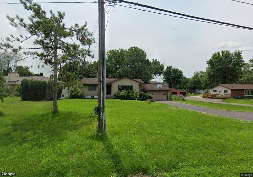
1872 County Road F E Saint Paul, MN 55110
Estimated Value: $356,468 - $381,000
3
Beds
2
Baths
2,364
Sq Ft
$154/Sq Ft
Est. Value
About This Home
This home is located at 1872 County Road F E, Saint Paul, MN 55110 and is currently estimated at $364,367, approximately $154 per square foot. 1872 County Road F E is a home located in Ramsey County with nearby schools including Lakeaires Elementary School, Sunrise Park Middle School, and Gentry Academy High.
Ownership History
Date
Name
Owned For
Owner Type
Purchase Details
Closed on
Nov 23, 2020
Sold by
Grambush Dale and Grambush Tina
Bought by
Cowsert Michael and Leistikow Kelsey
Current Estimated Value
Home Financials for this Owner
Home Financials are based on the most recent Mortgage that was taken out on this home.
Original Mortgage
$266,375
Outstanding Balance
$237,036
Interest Rate
2.8%
Mortgage Type
New Conventional
Estimated Equity
$127,331
Purchase Details
Closed on
Jan 8, 2016
Sold by
Link Jon E and Link Nicole L
Bought by
Grambush Dale
Create a Home Valuation Report for This Property
The Home Valuation Report is an in-depth analysis detailing your home's value as well as a comparison with similar homes in the area
Home Values in the Area
Average Home Value in this Area
Purchase History
| Date | Buyer | Sale Price | Title Company |
|---|---|---|---|
| Cowsert Michael | $282,500 | Titlesmart Inc | |
| Grambush Dale | $157,000 | Titlesmart Inc | |
| Leistikow Kelsey Kelsey | $282,500 | -- |
Source: Public Records
Mortgage History
| Date | Status | Borrower | Loan Amount |
|---|---|---|---|
| Open | Cowsert Michael | $266,375 | |
| Closed | Leistikow Kelsey Kelsey | $268,376 |
Source: Public Records
Tax History Compared to Growth
Tax History
| Year | Tax Paid | Tax Assessment Tax Assessment Total Assessment is a certain percentage of the fair market value that is determined by local assessors to be the total taxable value of land and additions on the property. | Land | Improvement |
|---|---|---|---|---|
| 2025 | $4,128 | $360,500 | $102,300 | $258,200 |
| 2023 | $4,128 | $318,800 | $102,300 | $216,500 |
| 2022 | $3,518 | $317,200 | $102,300 | $214,900 |
| 2021 | $3,068 | $272,000 | $102,300 | $169,700 |
| 2020 | $3,270 | $246,200 | $102,300 | $143,900 |
| 2019 | $2,578 | $245,300 | $102,300 | $143,000 |
| 2018 | $2,408 | $211,400 | $102,300 | $109,100 |
| 2017 | $2,226 | $204,100 | $102,300 | $101,800 |
| 2016 | $2,336 | $0 | $0 | $0 |
| 2015 | $2,218 | $180,000 | $96,200 | $83,800 |
| 2014 | $2,374 | $0 | $0 | $0 |
Source: Public Records
Map
Nearby Homes
- 4035 Highland Ave
- 4107 White Bear Ave N
- 4181 White Bear Ave N
- 1795 Cheri Ct
- 2184 Floral Dr
- 1794 Cheri Ct
- 1792 Cheri Ct
- 3823 Linden Ave
- 1828 Whitaker St
- 3750 Van Dyke St
- 1778 Linden Cove
- 3979 Mcknight Rd N
- 2075 Dorothy Ave
- 3982 Mcknight Rd N
- 3915 Mcknight Rd N
- 2086 Dorothy Ave
- 3620 Highland Ave
- 1827 County Road E E Unit 18
- 4012 Cranbrook Dr
- 2314 Birch St
- 1888 County Road F E
- 1866 County Road F E
- 4053 Highland Ave
- 1858 County Road F E
- 0 Highland Ave
- 4055 Highland Ave
- 1904 County Road F E
- 4051 Highland Ave
- 4057 Highland Ave
- 4049 Highland Ave
- 4054R Highland Ave
- 1875 County Road F E
- 1865 County Road F E
- 1885 County Road F E
- 1855 County Road F E
- 1850 County Road F E
- 1855 1855 County Road F--E
- 1845 County Road F E
- 1835 County Road F E
- 4047 Highland Ave