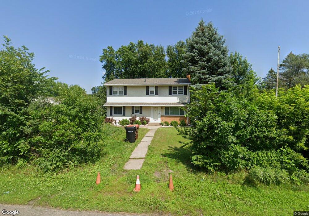
1872 Prosperity Rd Saint Paul, MN 55109
Gladstone NeighborhoodEstimated Value: $360,000 - $386,641
5
Beds
3
Baths
1,376
Sq Ft
$274/Sq Ft
Est. Value
About This Home
This home is located at 1872 Prosperity Rd, Saint Paul, MN 55109 and is currently estimated at $376,910, approximately $273 per square foot. 1872 Prosperity Rd is a home located in Ramsey County with nearby schools including Weaver Elementary School, John Glenn Middle School, and Mounds Park Academy.
Ownership History
Date
Name
Owned For
Owner Type
Purchase Details
Closed on
Feb 11, 2019
Sold by
Yang Benjamin T
Bought by
Beely Khang Link T and Beely Khang
Current Estimated Value
Home Financials for this Owner
Home Financials are based on the most recent Mortgage that was taken out on this home.
Original Mortgage
$243,200
Outstanding Balance
$212,940
Interest Rate
4.3%
Mortgage Type
New Conventional
Estimated Equity
$163,970
Purchase Details
Closed on
Mar 3, 2017
Sold by
Perron Ronald J and Perron Debra J
Bought by
Khang Link T and Khang Beelt
Home Financials for this Owner
Home Financials are based on the most recent Mortgage that was taken out on this home.
Original Mortgage
$240,562
Interest Rate
4.19%
Mortgage Type
FHA
Create a Home Valuation Report for This Property
The Home Valuation Report is an in-depth analysis detailing your home's value as well as a comparison with similar homes in the area
Home Values in the Area
Average Home Value in this Area
Purchase History
| Date | Buyer | Sale Price | Title Company |
|---|---|---|---|
| Beely Khang Link T | -- | Titlesmart Inc | |
| Khang Link T | $252,424 | All American Title Co |
Source: Public Records
Mortgage History
| Date | Status | Borrower | Loan Amount |
|---|---|---|---|
| Open | Beely Khang Link T | $243,200 | |
| Previous Owner | Khang Link T | $240,562 |
Source: Public Records
Tax History Compared to Growth
Tax History
| Year | Tax Paid | Tax Assessment Tax Assessment Total Assessment is a certain percentage of the fair market value that is determined by local assessors to be the total taxable value of land and additions on the property. | Land | Improvement |
|---|---|---|---|---|
| 2025 | $5,164 | $375,900 | $79,700 | $296,200 |
| 2023 | $5,164 | $365,500 | $79,700 | $285,800 |
| 2022 | $4,358 | $353,500 | $79,700 | $273,800 |
| 2021 | $4,178 | $298,800 | $79,700 | $219,100 |
| 2020 | $4,026 | $293,300 | $79,700 | $213,600 |
| 2019 | $3,794 | $266,200 | $79,700 | $186,500 |
| 2018 | $3,686 | $252,100 | $79,700 | $172,400 |
| 2017 | $3,724 | $230,300 | $79,700 | $150,600 |
| 2016 | $3,738 | $0 | $0 | $0 |
| 2015 | $3,718 | $227,100 | $73,100 | $154,000 |
| 2014 | $3,378 | $0 | $0 | $0 |
Source: Public Records
Map
Nearby Homes
- 1849 Kennard St
- 1854 Barclay St
- 1984 Prosperity Rd
- 1940 Barclay St
- 1856 Flandrau St
- 1937 Flandrau St
- 1869 Birmingham St
- 1627 Christie Place
- 1743 White Bear Ave N
- 1435 Price Ave
- 1672 Manton St
- 1740 California Ave E
- 1637 Iowa Ave E
- 1740 English St
- 1467 County Road B E
- 1639 Clarence St
- 1509 Sandhurst Ave E
- 1666 Laurie Rd E
- 1694 Laurie Rd E
- 1676 Montana Ave E
- 1871 Maryknoll Ave
- 1884 Prosperity Rd
- 1885 Maryknoll Ave
- 1848 Prosperity Rd
- 1890 Prosperity Rd
- 1851 Maryknoll Ave
- 1891 Maryknoll Ave
- 1870 Maryknoll Ave
- 1870 Maryknoll Ave N
- 1866 Maryknoll Ave
- 1880 Maryknoll Ave
- 1898 Prosperity Rd
- 1840 Prosperity Rd
- 1839 Maryknoll Ave
- 1899 Maryknoll Ave
- 1894 Maryknoll Ave
- 1850 Maryknoll Ave
- 1910 Prosperity Rd
- 1604 Frost Ave
- 1855 Summer Ave