1872 Stone Meadow Blvd Shakopee, MN 55379
Estimated Value: $302,735 - $325,000
2
Beds
2
Baths
1,569
Sq Ft
$200/Sq Ft
Est. Value
About This Home
This home is located at 1872 Stone Meadow Blvd, Shakopee, MN 55379 and is currently estimated at $314,184, approximately $200 per square foot. 1872 Stone Meadow Blvd is a home located in Scott County with nearby schools including Sweeney Elementary School, East Middle School, and Shakopee Senior High School.
Ownership History
Date
Name
Owned For
Owner Type
Purchase Details
Closed on
Oct 10, 2016
Sold by
Soldo Carol A
Bought by
Carol A Soldo Living Trust
Current Estimated Value
Purchase Details
Closed on
Jun 19, 2015
Sold by
Hullander Steven R
Bought by
Barrett Frank and Soldo Carol A
Home Financials for this Owner
Home Financials are based on the most recent Mortgage that was taken out on this home.
Original Mortgage
$152,000
Interest Rate
3.86%
Mortgage Type
New Conventional
Purchase Details
Closed on
Aug 28, 1998
Sold by
Pulte Homes Of Minnesota
Bought by
Hullander Steven R
Create a Home Valuation Report for This Property
The Home Valuation Report is an in-depth analysis detailing your home's value as well as a comparison with similar homes in the area
Home Values in the Area
Average Home Value in this Area
Purchase History
| Date | Buyer | Sale Price | Title Company |
|---|---|---|---|
| Carol A Soldo Living Trust | -- | Attorney | |
| Soldo Carol A | -- | Attorney | |
| Barrett Frank | $190,000 | Trademark Title Services Inc | |
| Hullander Steven R | $133,010 | -- |
Source: Public Records
Mortgage History
| Date | Status | Borrower | Loan Amount |
|---|---|---|---|
| Previous Owner | Barrett Frank | $152,000 |
Source: Public Records
Tax History Compared to Growth
Tax History
| Year | Tax Paid | Tax Assessment Tax Assessment Total Assessment is a certain percentage of the fair market value that is determined by local assessors to be the total taxable value of land and additions on the property. | Land | Improvement |
|---|---|---|---|---|
| 2025 | $2,914 | $306,700 | $114,200 | $192,500 |
| 2024 | $2,990 | $292,700 | $108,700 | $184,000 |
| 2023 | $3,080 | $288,200 | $106,600 | $181,600 |
| 2022 | $2,762 | $291,900 | $109,200 | $182,700 |
| 2021 | $2,438 | $230,300 | $81,200 | $149,100 |
| 2020 | $2,510 | $224,700 | $74,800 | $149,900 |
| 2019 | $2,498 | $206,500 | $47,200 | $159,300 |
| 2018 | $2,390 | $0 | $0 | $0 |
| 2016 | $2,248 | $0 | $0 | $0 |
| 2014 | -- | $0 | $0 | $0 |
Source: Public Records
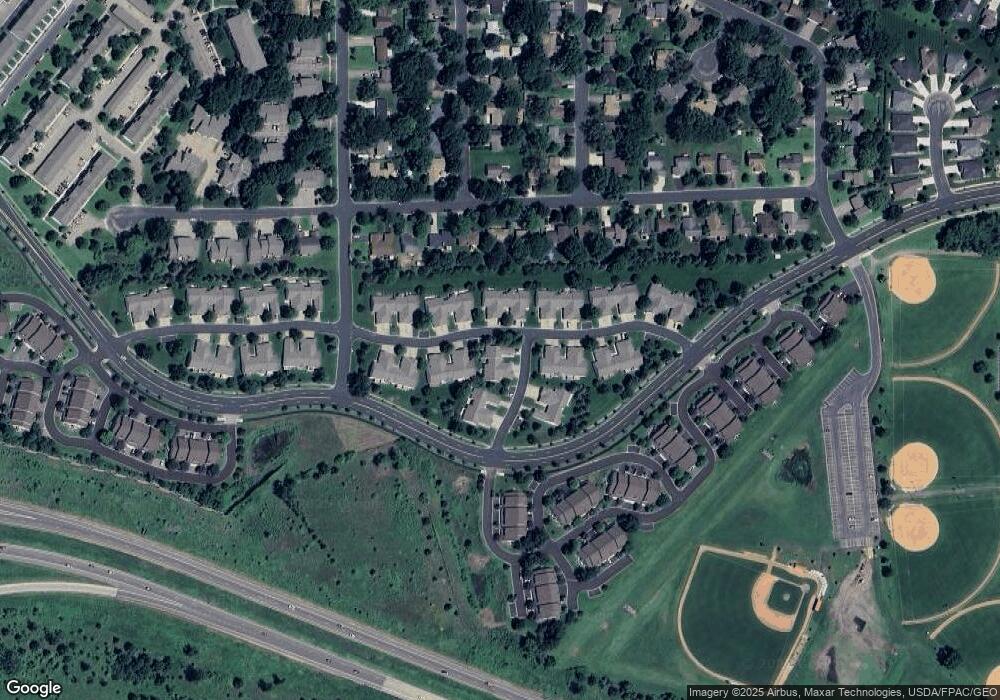
Map
Nearby Homes
- 1853 Stone Meadow Blvd
- 1226 Polk St S
- 2123 Agate Curve
- 2224 Quarry Ln
- 1259 Taylor St Unit 3
- 1279 Taylor St Unit 5
- 1187 Jackson St S
- 2007 10th Ave W Unit 12
- 1813 6th Ave W
- 1690 Windigo Ln
- 816 Regent Dr
- 1861 Attenborough St
- 1179 Cubasue Ct
- The Ferguson Plan at Bluff View - Cottage Series
- The Edison Plan at Bluff View - Cottage Series
- The Tatum Plan at Bluff View - Cottage Series
- The Pattison Plan at Bluff View - Cottage Series
- The Harmony Plan at Bluff View - Freedom Series
- The Dover II Plan at Bluff View - Freedom Series
- The Clifton II Plan at Bluff View - Freedom Series
- 1868 Stone Meadow Blvd
- 1864 Stone Meadow Blvd
- 1950 Boulder Point
- 1954 Boulder Point Unit 308
- 1954 Boulder Point
- 1939 Boulder Point
- 1842 Boulder Point
- 1822 Stone Meadow Blvd
- 1943 Boulder Point
- 1935 Boulder Point
- 1931 Boulder Point
- 1951 Boulder Point
- 1958 Boulder Point
- 1838 Boulder Point
- 1955 Boulder Point
- 1843 Boulder Point
- 1959 Boulder Point
- 1962 Boulder Pointe
- 1834 Boulder Point
- 1839 Boulder Point