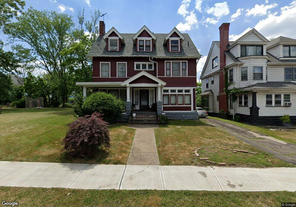
1874 Roxbury Rd Cleveland, OH 44112
Estimated Value: $91,462 - $322,000
4
Beds
3
Baths
2,661
Sq Ft
$68/Sq Ft
Est. Value
About This Home
This home is located at 1874 Roxbury Rd, Cleveland, OH 44112 and is currently estimated at $181,616, approximately $68 per square foot. 1874 Roxbury Rd is a home located in Cuyahoga County with nearby schools including Shaw High School, Cleveland Montessori, and Montessori High School at University Circle.
Ownership History
Date
Name
Owned For
Owner Type
Purchase Details
Closed on
Nov 29, 1989
Bought by
Rowe Richard
Current Estimated Value
Purchase Details
Closed on
Apr 10, 1989
Sold by
Fletcher Dwight L
Bought by
Ford Consumer Credit Corp.
Purchase Details
Closed on
Sep 21, 1987
Sold by
Fletcher Dwight L and Fletcher Regina E
Bought by
Fletcher Dwight L
Purchase Details
Closed on
Sep 5, 1984
Sold by
Fletcher Dwight L
Bought by
Fletcher Dwight L and Fletcher Regina E
Purchase Details
Closed on
Aug 31, 1976
Sold by
Mcpherson Donald M and Mcpherson Sandra
Bought by
Fletcher Dwight L
Purchase Details
Closed on
Jan 1, 1975
Bought by
Mcpherson Donald M and Mcpherson Sandra
Create a Home Valuation Report for This Property
The Home Valuation Report is an in-depth analysis detailing your home's value as well as a comparison with similar homes in the area
Home Values in the Area
Average Home Value in this Area
Purchase History
| Date | Buyer | Sale Price | Title Company |
|---|---|---|---|
| Rowe Richard | $38,000 | -- | |
| Ford Consumer Credit Corp. | $28,800 | -- | |
| Fletcher Dwight L | -- | -- | |
| Fletcher Dwight L | -- | -- | |
| Fletcher Dwight L | $24,900 | -- | |
| Mcpherson Donald M | -- | -- |
Source: Public Records
Tax History Compared to Growth
Tax History
| Year | Tax Paid | Tax Assessment Tax Assessment Total Assessment is a certain percentage of the fair market value that is determined by local assessors to be the total taxable value of land and additions on the property. | Land | Improvement |
|---|---|---|---|---|
| 2024 | $1,605 | $33,915 | $6,300 | $27,615 |
| 2023 | $1,650 | $19,010 | $1,020 | $17,990 |
| 2022 | $1,777 | $19,005 | $1,015 | $17,990 |
| 2021 | $1,762 | $19,010 | $1,020 | $17,990 |
| 2020 | $1,929 | $19,390 | $1,050 | $18,340 |
| 2019 | $2,016 | $55,400 | $3,000 | $52,400 |
| 2018 | $2,006 | $19,390 | $1,050 | $18,340 |
| 2017 | $1,627 | $16,530 | $3,260 | $13,270 |
| 2016 | $1,615 | $16,530 | $3,260 | $13,270 |
| 2015 | $4,718 | $16,530 | $3,260 | $13,270 |
| 2014 | $4,718 | $19,430 | $3,820 | $15,610 |
Source: Public Records
Map
Nearby Homes
- 1855 Woodlawn Ave
- 1866 Woodlawn Ave
- 1858 Woodlawn Ave
- 1827 Idlewood Ave
- 1679 Lockwood Ave
- 1515 E 123rd St
- 1510 E 123rd St
- 1333 E 124th St
- 1497 E 120th St Unit 5
- 1423 E 120th St
- 1229 Melbourne Rd
- 1893 Coltman Rd Unit 10
- 1198 Rozelle Ave
- 1358 E 123rd St
- 1445 E 118th St
- 1926 E 123rd (Rear) St
- 1650 Coventry Rd
- 1625 E 118th St
- 1546 Glenmont Rd
- 1653 E 118th St
- 1870 Roxbury Rd
- 1866 Roxbury Rd
- 1877 Wadena St
- 1881 Wadena St
- 1873 Wadena St
- 1883 Wadena St
- 1884 Roxbury Rd
- 1869 Wadena St
- 1860 Roxbury Rd
- 1887 Wadena St
- 1875 Roxbury Rd
- 1871 Roxbury Rd
- 1881 Roxbury Rd
- 1863 Wadena St
- 1885 Roxbury Rd
- 1865 Roxbury Rd
- 1891 Wadena St
- 1859 Wadena St
- 1852 Roxbury Rd
- 1861 Roxbury Rd