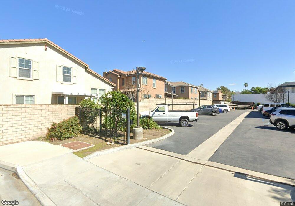
1874 Triste Ct Riverside, CA 92501
Northside NeighborhoodEstimated Value: $544,000 - $593,000
3
Beds
3
Baths
1,660
Sq Ft
$342/Sq Ft
Est. Value
About This Home
This home is located at 1874 Triste Ct, Riverside, CA 92501 and is currently estimated at $567,861, approximately $342 per square foot. 1874 Triste Ct is a home located in Riverside County with nearby schools including Patricia Beatty Elementary School, Central Middle School, and John W. North High School.
Ownership History
Date
Name
Owned For
Owner Type
Purchase Details
Closed on
Jun 1, 2010
Sold by
Montaos Jose Noel L
Bought by
Silva Lake Corporation
Current Estimated Value
Purchase Details
Closed on
Oct 5, 2006
Sold by
Kb Home Coastal Inc
Bought by
Montaos Jose Noel L
Home Financials for this Owner
Home Financials are based on the most recent Mortgage that was taken out on this home.
Original Mortgage
$310,208
Interest Rate
5.87%
Mortgage Type
New Conventional
Create a Home Valuation Report for This Property
The Home Valuation Report is an in-depth analysis detailing your home's value as well as a comparison with similar homes in the area
Home Values in the Area
Average Home Value in this Area
Purchase History
| Date | Buyer | Sale Price | Title Company |
|---|---|---|---|
| Silva Lake Corporation | $175,000 | Fidelity National Title Co | |
| Montaos Jose Noel L | $388,000 | First American Title Company |
Source: Public Records
Mortgage History
| Date | Status | Borrower | Loan Amount |
|---|---|---|---|
| Previous Owner | Montaos Jose Noel L | $310,208 |
Source: Public Records
Tax History Compared to Growth
Tax History
| Year | Tax Paid | Tax Assessment Tax Assessment Total Assessment is a certain percentage of the fair market value that is determined by local assessors to be the total taxable value of land and additions on the property. | Land | Improvement |
|---|---|---|---|---|
| 2025 | $3,531 | $225,876 | $51,624 | $174,252 |
| 2023 | $3,531 | $217,107 | $49,620 | $167,487 |
| 2022 | $3,476 | $212,851 | $48,648 | $164,203 |
| 2021 | $3,454 | $208,679 | $47,695 | $160,984 |
| 2020 | $3,436 | $206,540 | $47,206 | $159,334 |
| 2019 | $3,391 | $202,491 | $46,281 | $156,210 |
| 2018 | $3,346 | $198,522 | $45,374 | $153,148 |
| 2017 | $3,311 | $194,631 | $44,485 | $150,146 |
| 2016 | $3,196 | $190,815 | $43,613 | $147,202 |
| 2015 | $3,222 | $187,951 | $42,959 | $144,992 |
| 2014 | $3,370 | $184,270 | $42,118 | $142,152 |
Source: Public Records
Map
Nearby Homes
- 1927 Kenton
- 1782 Park Place Ln
- 1725 Julia Way
- 1611 Gilliam Ct
- 1810 Parkplace Ln
- 4028 Landau Ct
- 1505 Fairmount Blvd
- 4625 La Paz Ln
- 4665 La Paz Ln
- 1339 Castledale St
- 4037 Weyer St
- 4557 Snake River Rd
- 3784 Dublin Way
- 3110 3108 Lime
- 3766 Lofton Place
- 3858 Carter Ave
- 3943 Ridge Rd
- 2215 Northbend St
- 2789 Fairmount Blvd
- 3159 Redwood Dr