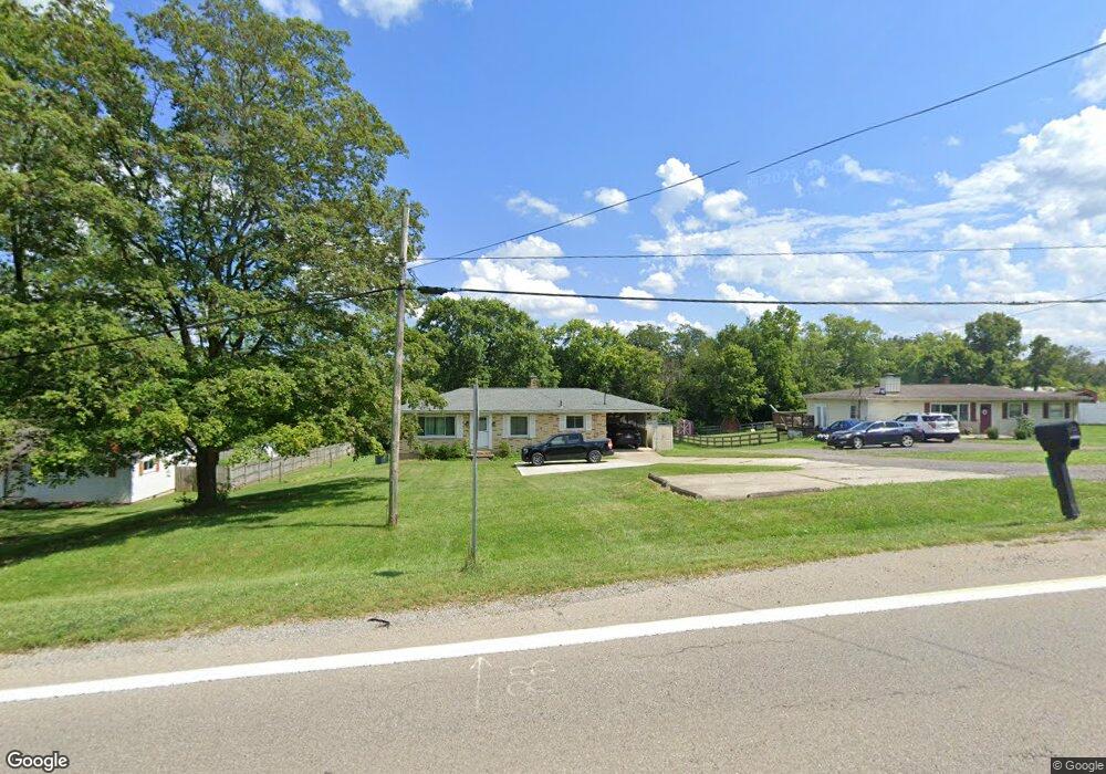
1876 S Us Route 42 Lebanon, OH 45036
Turtlecreek Township NeighborhoodEstimated Value: $237,000 - $310,000
3
Beds
1
Bath
1,215
Sq Ft
$220/Sq Ft
Est. Value
About This Home
This home is located at 1876 S Us Route 42, Lebanon, OH 45036 and is currently estimated at $267,119, approximately $219 per square foot. 1876 S Us Route 42 is a home located in Warren County with nearby schools including Bowman Primary School, Berry Intermediate School, and Donovan Elementary School.
Ownership History
Date
Name
Owned For
Owner Type
Purchase Details
Closed on
Jun 23, 2015
Sold by
Baker Jacqueline Joy and Baker Gary Allen
Bought by
Collins Heather C
Current Estimated Value
Purchase Details
Closed on
Dec 11, 2013
Sold by
Kilburn Pauline
Bought by
Baker Jacqueline Joy
Purchase Details
Closed on
Dec 18, 2012
Sold by
Kilburn Clarence
Bought by
Baker Jacqueline Joy
Create a Home Valuation Report for This Property
The Home Valuation Report is an in-depth analysis detailing your home's value as well as a comparison with similar homes in the area
Home Values in the Area
Average Home Value in this Area
Purchase History
| Date | Buyer | Sale Price | Title Company |
|---|---|---|---|
| Collins Heather C | -- | Prodigy Title Agency | |
| Baker Jacqueline Joy | -- | None Available | |
| Baker Jacqueline Joy | -- | None Available |
Source: Public Records
Tax History Compared to Growth
Tax History
| Year | Tax Paid | Tax Assessment Tax Assessment Total Assessment is a certain percentage of the fair market value that is determined by local assessors to be the total taxable value of land and additions on the property. | Land | Improvement |
|---|---|---|---|---|
| 2024 | $2,475 | $62,200 | $18,660 | $43,540 |
| 2023 | $2,142 | $48,604 | $9,978 | $38,626 |
| 2022 | $2,114 | $48,605 | $9,979 | $38,626 |
| 2021 | $1,962 | $48,605 | $9,979 | $38,626 |
| 2020 | $1,915 | $39,515 | $8,113 | $31,402 |
| 2019 | $1,925 | $39,515 | $8,113 | $31,402 |
| 2018 | $1,734 | $39,515 | $8,113 | $31,402 |
| 2017 | $1,777 | $36,232 | $7,546 | $28,686 |
| 2016 | $1,837 | $36,232 | $7,546 | $28,686 |
| 2015 | $1,902 | $36,232 | $7,546 | $28,686 |
| 2014 | $1,810 | $32,940 | $6,860 | $26,080 |
| 2013 | $1,803 | $38,950 | $8,110 | $30,840 |
Source: Public Records
Map
Nearby Homes
- 2240 Bone Rd
- 826 W Turtlecreek Union Rd
- 378 Natalie Ln
- 348 Natalie Ln
- 1273 Weathervane Way
- 1304 Weathervane Way
- 295 Countryside Dr
- 256 Countryside Dr
- 504 Cherry Hill Ln
- 1234 Chestnut Ct
- A Ohio 63
- B Ohio 63
- 504 Creekside Ln
- Kingsmark Plan at Creekside Landing - Prestige
- Mayfair II Plan at Creekside Landing - Prestige
- Lionsworth Plan at Creekside Landing - Prestige
- 3606 Acadia Ln
- 3675 Silver Queen Ct
- 177 Kings Way
- 96 Rough Way
- 1876 S Us Route 42
- 1892 N Us Route 42
- 1892 U S 42 W
- 1860 S Us Route 42
- 1910 S Us Route 42
- 1876 S Us Route 42
- 1928 S State Route 42
- 1942 U S 42
- 1942 S Us Route 42
- 1954 U S 42
- 1954 S Us Route 42
- 1997 S Us Route 42
- 1997 S U S 42
- 1970 S Us Route 42
- 1986 S Us Route 42
- 2000 S Us Route 42
- 2000 U S 42
- 1999 S Us Route 42
- 1999 S Us Route 42
- 1999 U S 42