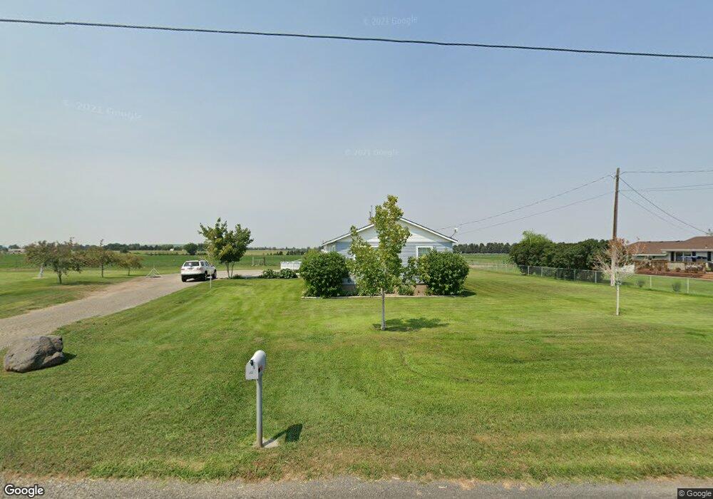
1877 S 2000 E Gooding, ID 83330
Estimated Value: $281,000
About This Home
This home is located at 1877 S 2000 E, Gooding, ID 83330 and is currently estimated at $281,000, approximately $254 per square foot. 1877 S 2000 E is a home with nearby schools including Gooding Elementary School, Gooding Middle School, and Gooding High School.
Ownership History
We collect this data history from publicly available records. To have your information removed, we recommend requesting removal directly through your county’s website.
Purchase Details
Home Financials for this Owner
Home Financials are based on the most recent Mortgage that was taken out on this home.Home Values in the Area
Average Home Value in this Area
Purchase History
We collect this data history from publicly available records. To have your information removed, we recommend requesting removal directly through your county’s website.
| Date | Buyer | Sale Price | Title Company |
|---|---|---|---|
| -- | -- |
Mortgage History
We collect this data history from publicly available records. To have your information removed, we recommend requesting removal directly through your county’s website.
| Date | Status | Borrower | Loan Amount |
|---|---|---|---|
| Closed | $131,000 |
Tax History
We collect this data history from publicly available records. To have your information removed, we recommend requesting removal directly through your county’s website.
| Year | Tax Paid | Tax Assessment Tax Assessment Total Assessment is a certain percentage of the fair market value that is determined by local assessors to be the total taxable value of land and additions on the property. | Land | Improvement |
|---|---|---|---|---|
| 2025 | $1,332 | $228,085 | $67,398 | $160,687 |
| 2024 | $1,406 | $228,085 | $67,398 | $160,687 |
| 2023 | $1,101 | $168,028 | $62,096 | $105,932 |
| 2022 | $1,184 | $168,028 | $62,096 | $105,932 |
| 2021 | $1,146 | $140,253 | $39,366 | $100,887 |
| 2020 | $1,112 | $120,413 | $26,846 | $93,567 |
| 2019 | $1,165 | $115,458 | $26,846 | $88,612 |
| 2018 | $1,103 | $115,458 | $26,846 | $88,612 |
| 2017 | $780 | $0 | $0 | $0 |
| 2016 | $825 | $0 | $0 | $0 |
| 2015 | $871 | $0 | $0 | $0 |
| 2014 | -- | $0 | $0 | $0 |
| 2011 | -- | $0 | $0 | $0 |
Map
- 1617 9th Ave E
- 919 9th Ave E
- 380 Orchard Dr E
- 806 Illinois St
- 919 Victory Dr
- 726 Wyoming St
- 1141 Main St
- 1958 E 1775 S
- 713 Montana St
- 551 10th Ave W
- 506 5th Ave E
- Parcel 1 14th Ave W
- Parcel 3 14th Ave W
- Parcel 2 14th Ave W
- 319/321 Idaho St
- 334 12th Ave W
- 546 Main St
- 225 Oregon St
- 442 Main St
- TBD California 7th W
- 1873 S 2000 E
- 1866 S 2000 E
- 1858 S 2000 E
- 1909 S 2000 E
- 2006 E 1850 S
- TBD Carol St
- TBD Carol St Unit 1
- TBD Carol St Unit 2
- 1911 S 2000 E
- 2020 E 1850 S
- 0 Summit Dr
- 1917 S 2000 E
- 1836 S 2000 E
- 1910 Summit Dr
- 1909 S 1950 E
- 2024 E 1850 S
- TBD Parcel 2 S 2000 E
- 1917 Summit Dr
- 1832 S 2000 E
- TBD Parcel 3 S 2000 E
Ask me questions while you tour the home.