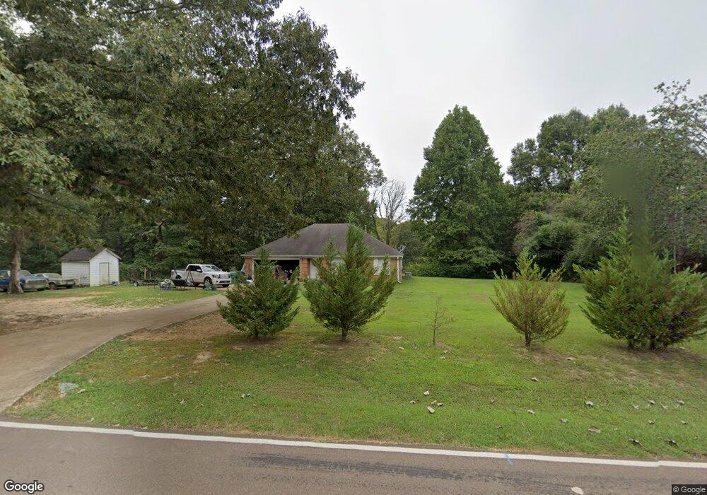
1877 Sparks Rd Lake Cormorant, MS 38641
Lake Cormorant NeighborhoodEstimated Value: $238,000 - $271,000
3
Beds
2
Baths
1,380
Sq Ft
$183/Sq Ft
Est. Value
About This Home
This home is located at 1877 Sparks Rd, Lake Cormorant, MS 38641 and is currently estimated at $251,941, approximately $182 per square foot. 1877 Sparks Rd is a home located in DeSoto County with nearby schools including Lake Cormorant Elementary School, Horn Lake Intermediate School, and Horn Lake Middle School.
Ownership History
Date
Name
Owned For
Owner Type
Purchase Details
Closed on
Nov 8, 2023
Sold by
Glen And Martha Roberts Revocable Living
Bought by
Ramey James Stephen
Current Estimated Value
Purchase Details
Closed on
Jan 27, 2010
Sold by
Secretary Of Housing & Urban Development
Bought by
Roberts Glen and Roberts Martha Ann
Create a Home Valuation Report for This Property
The Home Valuation Report is an in-depth analysis detailing your home's value as well as a comparison with similar homes in the area
Home Values in the Area
Average Home Value in this Area
Purchase History
| Date | Buyer | Sale Price | Title Company |
|---|---|---|---|
| Ramey James Stephen | -- | Saddle Creek Title | |
| Ramey James Stephen | -- | Saddle Creek Title | |
| Roberts Glen | -- | None Available |
Source: Public Records
Tax History Compared to Growth
Tax History
| Year | Tax Paid | Tax Assessment Tax Assessment Total Assessment is a certain percentage of the fair market value that is determined by local assessors to be the total taxable value of land and additions on the property. | Land | Improvement |
|---|---|---|---|---|
| 2024 | $942 | $9,422 | $2,140 | $7,282 |
| 2023 | $942 | $9,422 | $0 | $0 |
| 2022 | $942 | $9,422 | $2,140 | $7,282 |
| 2021 | $942 | $9,422 | $2,140 | $7,282 |
| 2020 | $884 | $8,840 | $2,140 | $6,700 |
| 2019 | $884 | $8,840 | $2,140 | $6,700 |
| 2017 | $869 | $15,120 | $8,630 | $6,490 |
| 2016 | $869 | $8,630 | $2,140 | $6,490 |
| 2015 | $869 | $15,120 | $8,630 | $6,490 |
| 2014 | $869 | $8,630 | $0 | $0 |
| 2013 | $905 | $8,630 | $0 | $0 |
Source: Public Records
Map
Nearby Homes
- 6193 Nesbit Rd
- 5450 Dean Rd
- 7508 Dean Rd
- 6 Hazelwood Dr
- 7 Hazelwood Dr
- 14 Hazelwood Dr
- 3197 Fogg Rd N
- 24 Riverwood Cove N
- 29 Hazelwood Dr
- 26 Hazelwood Dr
- 20 Hazelwood Dr
- 30 Hazelwood Dr
- 786 Hazelwood Dr
- 44 Deerwood Crossing Dr
- 23 Hazelwood Dr
- 25 Riverwood Cove N
- 43 Deerwood Crossing Dr
- 22 Hazelwood Dr
- 33 Deerwood Crossing Dr
- 40 Deerwood Dr