Estimated Value: $696,547 - $816,000
5
Beds
4
Baths
2,730
Sq Ft
$277/Sq Ft
Est. Value
About This Home
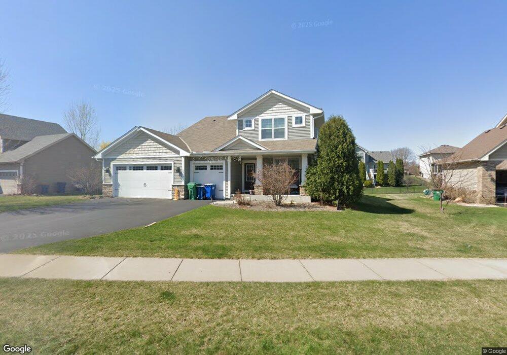
This home is located at 18772 63rd Ave N, Osseo, MN 55311 and is currently estimated at $757,387, approximately $277 per square foot. 18772 63rd Ave N is a home located in Hennepin County with nearby schools including Wayzata Central Middle School, Wayzata High School, and Ave Maria Academy.
Ownership History
Date
Name
Owned For
Owner Type
Purchase Details
Closed on
Sep 10, 2017
Sold by
Durant John R and Durant Carolyn E
Bought by
Jagtap Partik and Jagtap Gouri P
Current Estimated Value
Home Financials for this Owner
Home Financials are based on the most recent Mortgage that was taken out on this home.
Original Mortgage
$457,900
Interest Rate
3.94%
Mortgage Type
New Conventional
Purchase Details
Closed on
Nov 8, 2010
Sold by
Us Home Corp
Bought by
Dorant Carolyn E and Dorant John R
Create a Home Valuation Report for This Property
The Home Valuation Report is an in-depth analysis detailing your home's value as well as a comparison with similar homes in the area
Home Values in the Area
Average Home Value in this Area
Purchase History
| Date | Buyer | Sale Price | Title Company |
|---|---|---|---|
| Jagtap Partik | $496,606 | Home Title Inc | |
| Dorant Carolyn E | $443,600 | -- |
Source: Public Records
Mortgage History
| Date | Status | Borrower | Loan Amount |
|---|---|---|---|
| Previous Owner | Jagtap Partik | $457,900 |
Source: Public Records
Tax History Compared to Growth
Tax History
| Year | Tax Paid | Tax Assessment Tax Assessment Total Assessment is a certain percentage of the fair market value that is determined by local assessors to be the total taxable value of land and additions on the property. | Land | Improvement |
|---|---|---|---|---|
| 2024 | $7,689 | $640,600 | $185,400 | $455,200 |
| 2023 | $7,412 | $647,500 | $183,800 | $463,700 |
| 2022 | $6,248 | $617,100 | $140,800 | $476,300 |
| 2021 | $6,271 | $495,500 | $100,600 | $394,900 |
| 2020 | $6,429 | $492,800 | $113,100 | $379,700 |
| 2019 | $6,511 | $486,600 | $113,600 | $373,000 |
| 2018 | $6,563 | $485,800 | $127,600 | $358,200 |
| 2017 | $6,098 | $441,800 | $116,000 | $325,800 |
| 2016 | $6,205 | $437,800 | $116,000 | $321,800 |
| 2015 | $6,288 | $434,500 | $125,000 | $309,500 |
| 2014 | -- | $392,700 | $115,000 | $277,700 |
Source: Public Records
Map
Nearby Homes
- 6290 Larkspur Ln
- 6288 Larkspur Ln
- 6298 Larkspur Ln
- 6540 Yellowstone Ln N
- 5989 Xanthus Ln N
- 6205 Ranier Ln N
- 6300 Ranier Ln N
- 1988 Leaping Deer Cir
- 20045 67th Ave
- 6430 Bluestem Cir
- 19422 Lupine Ln
- 6757 Urbandale Ln N
- 17749 62nd Ave N
- 6750 Troy Ln N
- 6647 Peony Ln N
- 260 Calamus Cir
- 20144 68th Ave N
- 17716 Elm Rd N
- 5580 Alvarado Ln N
- 6848 Troy Ln N
- 18772 63rd Ave N
- 18834 18834 63rd-Avenue-n
- 18834 63rd Ave N
- 18834 63rd Ave N
- 18700 18700 63rd-Avenue-
- 18700 18700 63rd-Avenue-
- 18700 63rd Ave N
- 18700 63rd Ave N
- 18789 63rd Place N
- 18777 63rd Place N
- 18777 63rd Place N
- 18846 63rd Ave N
- 18846 63rd Ave N
- 18821 63rd Place N
- 18773 63rd Ave N
- 18773 63rd Ave N
- 18715 63rd Place N
- 18715 63rd Place N
- 18701 63rd Ave N
- 18701 63rd Ave N