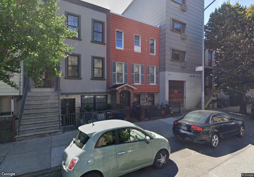
188 Powers St Brooklyn, NY 11211
Williamsburg NeighborhoodEstimated Value: $1,455,000 - $2,334,000
3
Beds
2
Baths
2,280
Sq Ft
$779/Sq Ft
Est. Value
About This Home
This home is located at 188 Powers St, Brooklyn, NY 11211 and is currently estimated at $1,775,000, approximately $778 per square foot. 188 Powers St is a home located in Kings County with nearby schools including P.S. 132 The Conselyea School.
Ownership History
Date
Name
Owned For
Owner Type
Purchase Details
Closed on
May 29, 2025
Sold by
Estate Of Julia Hartin and Julia M. Mccarthy Administratrix
Bought by
188 Powers Llc
Current Estimated Value
Home Financials for this Owner
Home Financials are based on the most recent Mortgage that was taken out on this home.
Original Mortgage
$1,150,000
Outstanding Balance
$1,147,048
Interest Rate
6.81%
Mortgage Type
Purchase Money Mortgage
Estimated Equity
$627,952
Create a Home Valuation Report for This Property
The Home Valuation Report is an in-depth analysis detailing your home's value as well as a comparison with similar homes in the area
Home Values in the Area
Average Home Value in this Area
Purchase History
| Date | Buyer | Sale Price | Title Company |
|---|---|---|---|
| 188 Powers Llc | $1,450,000 | -- |
Source: Public Records
Mortgage History
| Date | Status | Borrower | Loan Amount |
|---|---|---|---|
| Open | 188 Powers Llc | $1,150,000 |
Source: Public Records
Tax History Compared to Growth
Tax History
| Year | Tax Paid | Tax Assessment Tax Assessment Total Assessment is a certain percentage of the fair market value that is determined by local assessors to be the total taxable value of land and additions on the property. | Land | Improvement |
|---|---|---|---|---|
| 2025 | $4,001 | $108,780 | $15,360 | $93,420 |
| 2024 | $4,001 | $94,080 | $15,360 | $78,720 |
| 2023 | $3,820 | $109,920 | $15,360 | $94,560 |
| 2022 | $3,547 | $93,900 | $15,360 | $78,540 |
| 2021 | $3,528 | $99,180 | $15,360 | $83,820 |
| 2020 | $2,646 | $84,780 | $15,360 | $69,420 |
| 2019 | $3,472 | $83,640 | $15,360 | $68,280 |
| 2018 | $3,195 | $15,675 | $2,401 | $13,274 |
| 2017 | $3,019 | $14,808 | $3,434 | $11,374 |
| 2016 | $2,793 | $13,971 | $3,263 | $10,708 |
| 2015 | $1,685 | $13,957 | $3,940 | $10,017 |
| 2014 | $1,685 | $13,833 | $4,633 | $9,200 |
Source: Public Records
Map
Nearby Homes
- 303 Humboldt St
- 305 Humboldt St
- 319 Humboldt St Unit 1A
- 211 Powers St
- 738 Grand St Unit 3A
- 269 Ainslie St
- 181 Maujer St
- 30 Bushwick Ave Unit 5 C
- 30 Bushwick Ave Unit 3A
- 30 Bushwick Ave Unit 2A
- 136 Powers St Unit 1-G
- 251 Powers St
- 217 Devoe St
- 250 Manhattan Ave Unit 2 R
- 250 Manhattan Ave Unit 4 F
- 245 Manhattan Ave Unit 2-A
- 850 Metropolitan Ave Unit 1E
- 873 Grand St
- 131 Devoe St Unit 4-C
- 710 Metropolitan Ave Unit 5-H
- 190 Powers St
- 190 Powers St Unit PH
- 190 Powers St Unit 2
- 190 Powers St Unit 1
- 186 Powers St
- 186 Powers St Unit 3
- 186 Powers St Unit 2
- 192 Powers St
- 184 Powers St
- 194 Powers St
- 182 Powers St
- 284 Graham Ave
- 196 Powers St Unit PH
- 196 Powers St Unit 4
- 196 Powers St
- 196 Powers St Unit 1
- 196 Powers St Unit 3
- 196 Powers St Unit 2
- 196 Powers St Unit PENTHOUSE
- 739 Grand St