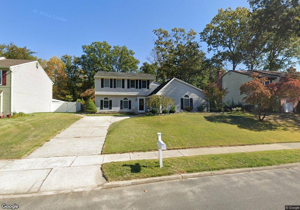
1880 Forest Dr Williamstown, NJ 08094
Monroe Township Gloucester NeighborhoodEstimated Value: $367,000 - $436,000
--
Bed
--
Bath
2,301
Sq Ft
$174/Sq Ft
Est. Value
About This Home
This home is located at 1880 Forest Dr, Williamstown, NJ 08094 and is currently estimated at $400,160, approximately $173 per square foot. 1880 Forest Dr is a home located in Gloucester County with nearby schools including Williamstown High School, St. Mary School, and Finest of the Wheat Christian.
Ownership History
Date
Name
Owned For
Owner Type
Purchase Details
Closed on
Aug 8, 2005
Sold by
Giraldi Denise Donnelly and Donnelly Denise
Bought by
Lathrop Shawn A and Lathrop Kimberly H
Current Estimated Value
Home Financials for this Owner
Home Financials are based on the most recent Mortgage that was taken out on this home.
Original Mortgage
$183,920
Outstanding Balance
$96,616
Interest Rate
5.66%
Mortgage Type
Fannie Mae Freddie Mac
Estimated Equity
$303,544
Purchase Details
Closed on
Aug 24, 1998
Sold by
Shaner James P and Shaner Sharon
Bought by
Donnelly Denise
Home Financials for this Owner
Home Financials are based on the most recent Mortgage that was taken out on this home.
Original Mortgage
$125,767
Interest Rate
6.9%
Mortgage Type
FHA
Create a Home Valuation Report for This Property
The Home Valuation Report is an in-depth analysis detailing your home's value as well as a comparison with similar homes in the area
Home Values in the Area
Average Home Value in this Area
Purchase History
| Date | Buyer | Sale Price | Title Company |
|---|---|---|---|
| Lathrop Shawn A | $229,900 | Precision Title | |
| Donnelly Denise | $128,000 | American Title Abstract |
Source: Public Records
Mortgage History
| Date | Status | Borrower | Loan Amount |
|---|---|---|---|
| Open | Lathrop Shawn A | $183,920 | |
| Previous Owner | Donnelly Denise | $125,767 |
Source: Public Records
Tax History Compared to Growth
Tax History
| Year | Tax Paid | Tax Assessment Tax Assessment Total Assessment is a certain percentage of the fair market value that is determined by local assessors to be the total taxable value of land and additions on the property. | Land | Improvement |
|---|---|---|---|---|
| 2025 | $7,800 | $213,000 | $46,500 | $166,500 |
| 2024 | $7,743 | $213,000 | $46,500 | $166,500 |
| 2023 | $7,743 | $213,000 | $46,500 | $166,500 |
| 2022 | $7,706 | $213,000 | $46,500 | $166,500 |
| 2021 | $7,755 | $213,000 | $46,500 | $166,500 |
| 2020 | $7,747 | $213,000 | $46,500 | $166,500 |
| 2019 | $7,700 | $213,000 | $46,500 | $166,500 |
| 2018 | $7,574 | $213,000 | $46,500 | $166,500 |
| 2017 | $7,435 | $209,900 | $59,500 | $150,400 |
| 2016 | $7,340 | $209,900 | $59,500 | $150,400 |
| 2015 | $7,130 | $209,900 | $59,500 | $150,400 |
| 2014 | $6,923 | $209,900 | $59,500 | $150,400 |
Source: Public Records
Map
Nearby Homes
- 1121 Lafayette St
- 2406 Exposition Dr Unit 2406
- 505 Matisse Way Unit 505
- 1406 Exposition Dr
- 1735 Black Oak Rd
- 206 Raphael Ct
- 395 Staggerbush Rd
- 1638 Red Oak Rd
- 1605 Pin Oak Rd
- 1602 Pin Oak Rd
- 1601 White Oak Ln
- 248 Karen Dr
- 112 Hemlock Dr
- 43 Queensferry Dr
- 1851 S Black Horse Pk Pike
- 415 Stockton Loop
- 0 Black Horse Pike Unit NJGL2064300
- 0 Black Horse Pike Unit NJGL2064170
- xxx Berlin Rd
- 1017 Micawber Dr
- 1876 Forest Dr
- 1884 Forest Dr
- 1872 Forest Dr
- 1888 Forest Dr
- 1881 Forest Dr
- 1885 Forest Dr
- 1877 Forest Dr
- 1868 Forest Dr
- 1605 Briarwood Dr
- 1889 Forest Dr
- 1892 Forest Dr
- 1873 Forest Dr
- 1609 Briarwood Dr
- 1893 Forest Dr
- 1869 Forest Dr
- 1613 Briarwood Dr
- 1864 Forest Dr
- 1513 Briarwood Dr
- 1617 Briarwood Dr
- 1865 Forest Dr