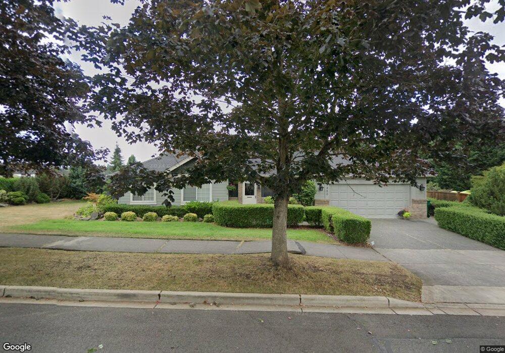
1880 Highpoint St Enumclaw, WA 98022
Estimated Value: $576,000 - $608,000
3
Beds
2
Baths
1,350
Sq Ft
$437/Sq Ft
Est. Value
About This Home
This home is located at 1880 Highpoint St, Enumclaw, WA 98022 and is currently estimated at $590,605, approximately $437 per square foot. 1880 Highpoint St is a home located in King County with nearby schools including Byron Kibler Elementary School, Enumclaw Middle School, and Enumclaw Senior High School.
Ownership History
Date
Name
Owned For
Owner Type
Purchase Details
Closed on
Nov 19, 2002
Sold by
Ludwig Richard A
Bought by
Calvert Carol Kay
Current Estimated Value
Home Financials for this Owner
Home Financials are based on the most recent Mortgage that was taken out on this home.
Original Mortgage
$171,200
Interest Rate
6.12%
Purchase Details
Closed on
Mar 19, 1997
Sold by
Landmark Homes Northwest Inc
Bought by
Ludwig Richard A
Home Financials for this Owner
Home Financials are based on the most recent Mortgage that was taken out on this home.
Original Mortgage
$137,600
Interest Rate
7.63%
Purchase Details
Closed on
Jan 15, 1996
Sold by
Bailie Robert M
Bought by
Landmark Homes Northwest Inc
Home Financials for this Owner
Home Financials are based on the most recent Mortgage that was taken out on this home.
Original Mortgage
$121,500
Interest Rate
7.25%
Create a Home Valuation Report for This Property
The Home Valuation Report is an in-depth analysis detailing your home's value as well as a comparison with similar homes in the area
Home Values in the Area
Average Home Value in this Area
Purchase History
| Date | Buyer | Sale Price | Title Company |
|---|---|---|---|
| Calvert Carol Kay | $214,000 | Washington Tit | |
| Ludwig Richard A | $172,000 | -- | |
| Landmark Homes Northwest Inc | $50,000 | Commonwealth Land Title Ins |
Source: Public Records
Mortgage History
| Date | Status | Borrower | Loan Amount |
|---|---|---|---|
| Closed | Calvert Carol Kay | $171,200 | |
| Previous Owner | Ludwig Richard A | $137,600 | |
| Previous Owner | Landmark Homes Northwest Inc | $121,500 |
Source: Public Records
Tax History
| Year | Tax Paid | Tax Assessment Tax Assessment Total Assessment is a certain percentage of the fair market value that is determined by local assessors to be the total taxable value of land and additions on the property. | Land | Improvement |
|---|---|---|---|---|
| 2024 | $418 | $534,000 | $212,000 | $322,000 |
| 2023 | $400 | $458,000 | $182,000 | $276,000 |
| 2022 | $461 | $523,000 | $208,000 | $315,000 |
| 2021 | $500 | $424,000 | $180,000 | $244,000 |
| 2020 | $500 | $190,000 | $73,000 | $117,000 |
| 2018 | $860 | $190,000 | $73,000 | $117,000 |
| 2017 | $904 | $292,000 | $103,000 | $189,000 |
| 2016 | $1,366 | $267,000 | $95,000 | $172,000 |
| 2015 | $1,399 | $251,000 | $90,000 | $161,000 |
| 2014 | -- | $247,000 | $91,000 | $156,000 |
| 2013 | -- | $190,000 | $73,000 | $117,000 |
Source: Public Records
Map
Nearby Homes
- 2881 Initial Ave
- 1849 Loraine St
- 1720 Garfield St Unit 4
- 985 Riley Dr E
- 1722 Harding St
- 3189 Roosevelt Ave
- 23724 SE 436th St
- 3359 Terry Ln
- 1829 Washington Ave
- 1705 Marshall Ave
- 43128 260th Ave SE
- 23420 SE 448th St
- 1234 Lincoln Ave Unit A
- 2054 Roosevelt Ave
- 2921 Frederickson St
- 522 Harmony Ln
- 3436 Wetherbee Ln
- 338 Charwila Ln
- 1107 Griffin Ave
- 22919 SE 438th St
- 1875 Lois Ln
- 1885 Lois Ln
- 1872 Highpoint St
- 1900 Highpoint St
- 3120 Silver Springs Ave
- 1863 Lois Ln
- 3230 Lois Ln
- 3119 Silver Springs Ave
- 1882 Lois Ln
- 1822 Highpoint St
- 3110 Silver Springs Ave
- 1890 Lois Ln
- 3249 Lois Ln
- 1870 Lois Ln
- 1909 Highpoint St
- 3109 Silver Springs Ave
- 1906 Lois Ln
- 1930 Highpoint St
- 1820 Lois Ln
- 3233 Lois Ln
Your Personal Tour Guide
Ask me questions while you tour the home.