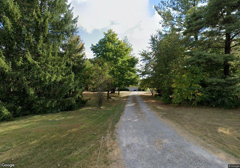
1881 S State Route 123 Lebanon, OH 45036
Turtlecreek Township NeighborhoodEstimated Value: $266,102 - $321,000
3
Beds
2
Baths
1,296
Sq Ft
$222/Sq Ft
Est. Value
About This Home
This home is located at 1881 S State Route 123, Lebanon, OH 45036 and is currently estimated at $287,276, approximately $221 per square foot. 1881 S State Route 123 is a home located in Warren County with nearby schools including Bowman Primary School, Berry Intermediate School, and Donovan Elementary School.
Ownership History
Date
Name
Owned For
Owner Type
Purchase Details
Closed on
Mar 10, 2003
Sold by
Teboe Wendell J and Teboe Amy E
Bought by
Teboe Amy E and Amy E Teboe Revocable Trust
Current Estimated Value
Purchase Details
Closed on
May 20, 1998
Sold by
Berry Anthony R
Bought by
Teboe Wendell J and Teboe Amy E
Purchase Details
Closed on
Feb 16, 1988
Sold by
Henry Henry and Henry Mark D
Bought by
Berry Berry and Berry Anthony R
Purchase Details
Closed on
Mar 19, 1979
Sold by
Enslen Enslen and Enslen Norbert Wm
Create a Home Valuation Report for This Property
The Home Valuation Report is an in-depth analysis detailing your home's value as well as a comparison with similar homes in the area
Home Values in the Area
Average Home Value in this Area
Purchase History
| Date | Buyer | Sale Price | Title Company |
|---|---|---|---|
| Teboe Amy E | -- | -- | |
| Teboe Wendell J | $106,000 | -- | |
| Berry Berry | $64,500 | -- | |
| -- | $8,800 | -- |
Source: Public Records
Tax History Compared to Growth
Tax History
| Year | Tax Paid | Tax Assessment Tax Assessment Total Assessment is a certain percentage of the fair market value that is determined by local assessors to be the total taxable value of land and additions on the property. | Land | Improvement |
|---|---|---|---|---|
| 2024 | $2,907 | $71,300 | $17,540 | $53,760 |
| 2023 | $2,648 | $58,688 | $12,029 | $46,658 |
| 2022 | $2,613 | $58,688 | $12,030 | $46,659 |
| 2021 | $2,425 | $58,688 | $12,030 | $46,659 |
| 2020 | $2,425 | $48,906 | $10,024 | $38,882 |
| 2019 | $2,439 | $48,906 | $10,024 | $38,882 |
| 2018 | $2,205 | $48,906 | $10,024 | $38,882 |
| 2017 | $2,231 | $44,342 | $9,216 | $35,126 |
| 2016 | $2,307 | $44,342 | $9,216 | $35,126 |
| 2015 | $2,325 | $44,342 | $9,216 | $35,126 |
| 2014 | $2,213 | $40,310 | $8,380 | $31,930 |
| 2013 | $2,206 | $48,220 | $10,020 | $38,200 |
Source: Public Records
Map
Nearby Homes
- 1415 S State Route 123
- 1740 Phillips Rd
- 2193 Phillips Rd
- 2749 Jack Rd
- 945 S Nixon Camp Rd
- 339 S Nixon Camp Rd
- 2841 Ohio 123
- 3841 Wilmington Rd
- 137 S Waynesville Rd
- 2410 Stubbs Mill Rd
- 2146 Shawhan Rd
- 1836 Stubbs Mill Rd
- 2696 Wilmington Rd
- 0 N Liberty Keuter Rd Unit 944632
- 0 N Liberty Keuter Rd Unit 1856762
- 2361 Wilmington Rd
- 1405 Stubbs Mill Rd
- 2785 Ashton Dr
- 5737 Brant Rd
- 1881 Ohio 123
- 1891 S State Route 123
- 1907 Ohio 123
- 1907 S State Route 123
- 1847 S State Route 123
- 1865 S State Route 123
- 1865 S State Route 123
- 1865 Ohio 123
- 1917 S State Route 123
- 1917 S State Route 123
- 1917 S St Rt 123
- 1898 S St Rt 123
- 2083 S Waynesville Rd
- 1945 S State Route 123
- 1898 S State Route 123
- 1923 S Waynesville Rd
- 1838 Ohio 123
- 2001 S Waynesville Rd
- 1894 S St Rt 123
- 1901 S Waynesville Rd