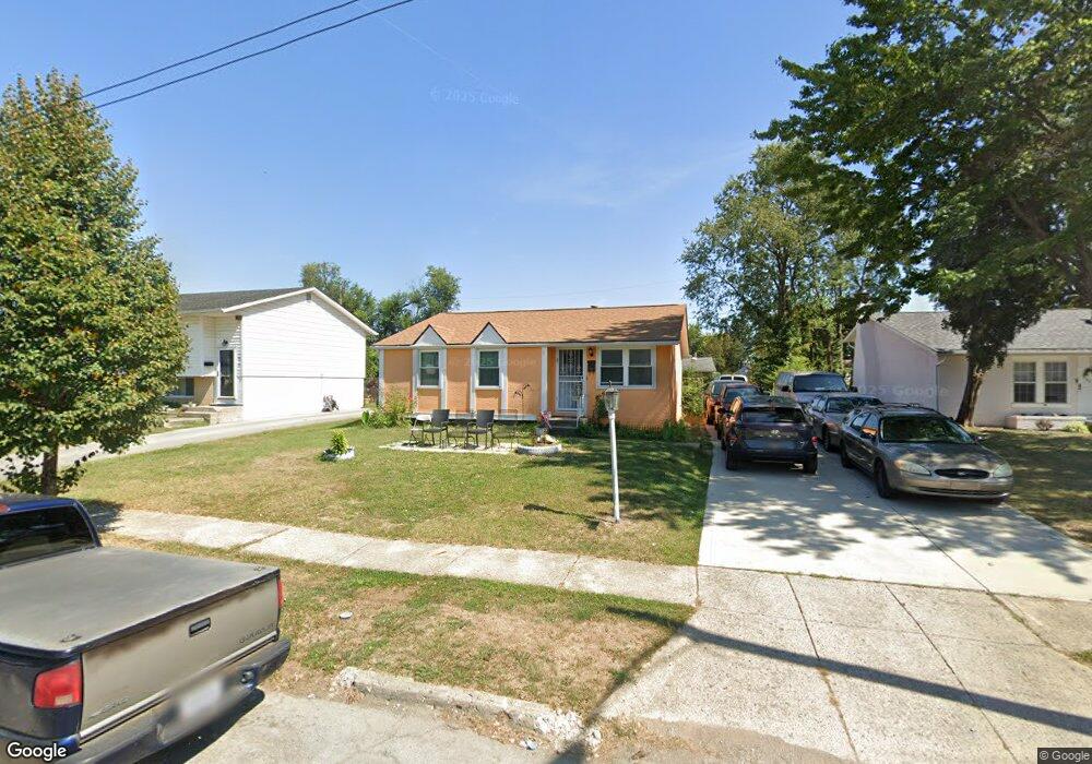
1882 Defford Ct Columbus, OH 43227
Linwood NeighborhoodEstimated Value: $177,478 - $228,000
3
Beds
2
Baths
1,000
Sq Ft
$195/Sq Ft
Est. Value
About This Home
This home is located at 1882 Defford Ct, Columbus, OH 43227 and is currently estimated at $195,370, approximately $195 per square foot. 1882 Defford Ct is a home located in Franklin County with nearby schools including Scottwood Elementary School, Johnson Park Middle School, and Walnut Ridge High School.
Ownership History
Date
Name
Owned For
Owner Type
Purchase Details
Closed on
Feb 23, 2004
Sold by
Williams Shirley R and Woodruff Shirley R
Bought by
Williams Arthur and Williams Shirley R
Current Estimated Value
Home Financials for this Owner
Home Financials are based on the most recent Mortgage that was taken out on this home.
Original Mortgage
$83,989
Outstanding Balance
$39,062
Interest Rate
5.71%
Mortgage Type
Purchase Money Mortgage
Estimated Equity
$156,308
Purchase Details
Closed on
Sep 17, 1981
Bought by
Woodruff Shirley R
Create a Home Valuation Report for This Property
The Home Valuation Report is an in-depth analysis detailing your home's value as well as a comparison with similar homes in the area
Home Values in the Area
Average Home Value in this Area
Purchase History
| Date | Buyer | Sale Price | Title Company |
|---|---|---|---|
| Williams Arthur | -- | New Century Title Services | |
| Woodruff Shirley R | -- | -- |
Source: Public Records
Mortgage History
| Date | Status | Borrower | Loan Amount |
|---|---|---|---|
| Open | Williams Arthur | $83,989 |
Source: Public Records
Tax History Compared to Growth
Tax History
| Year | Tax Paid | Tax Assessment Tax Assessment Total Assessment is a certain percentage of the fair market value that is determined by local assessors to be the total taxable value of land and additions on the property. | Land | Improvement |
|---|---|---|---|---|
| 2024 | $2,135 | $47,570 | $12,390 | $35,180 |
| 2023 | $2,108 | $47,565 | $12,390 | $35,175 |
| 2022 | $1,402 | $27,030 | $7,320 | $19,710 |
| 2021 | $1,404 | $27,030 | $7,320 | $19,710 |
| 2020 | $1,406 | $27,030 | $7,320 | $19,710 |
| 2019 | $1,353 | $22,300 | $6,090 | $16,210 |
| 2018 | $1,199 | $22,300 | $6,090 | $16,210 |
| 2017 | $1,352 | $22,300 | $6,090 | $16,210 |
| 2016 | $1,155 | $17,440 | $4,730 | $12,710 |
| 2015 | $1,049 | $17,440 | $4,730 | $12,710 |
| 2014 | $1,051 | $17,440 | $4,730 | $12,710 |
| 2013 | $576 | $19,355 | $5,250 | $14,105 |
Source: Public Records
Map
Nearby Homes
- 3325 E Deshler Ave
- 1664 Barnett Rd
- 3246 E Deshler Ave
- 1836 Penfield Ct S
- 1778 Quigley Rd
- 1624 Miltwood Rd
- 3038 Wadsworth Ct
- 3036 Wadsworth Ct
- 2275 Cardston Ct
- 2275 Wadsworth Dr
- 1637 S James Rd
- 1782 Newfield Rd
- 2844 Kingsrowe Ct Unit 27
- 2846 Petzinger Rd Unit 70
- 2911 Heath Ct
- 2810 Kingsrowe Ct Unit 13
- 2894 Landon Dr
- 1677 Kenview Rd
- 3084 Clermont Rd
- 0 Ravenswood Ct
- 1888 Defford Ct
- 1876 Defford Ct
- 1891 Binbrook Ct
- 1870 Defford Ct
- 1896 Defford Ct
- 1885 Binbrook Ct
- 1897 Binbrook Ct
- 1877 Binbrook Ct
- 1881 Defford Ct
- 1889 Defford Ct
- 1875 Defford Ct
- 1898 Defford Ct
- 1901 Binbrook Ct
- 1869 Defford Ct
- 1895 Defford Ct
- 1899 Defford Ct
- 3328 Penfield Rd
- 3322 Penfield Rd
- 3336 Penfield Rd
- 3314 Penfield Rd