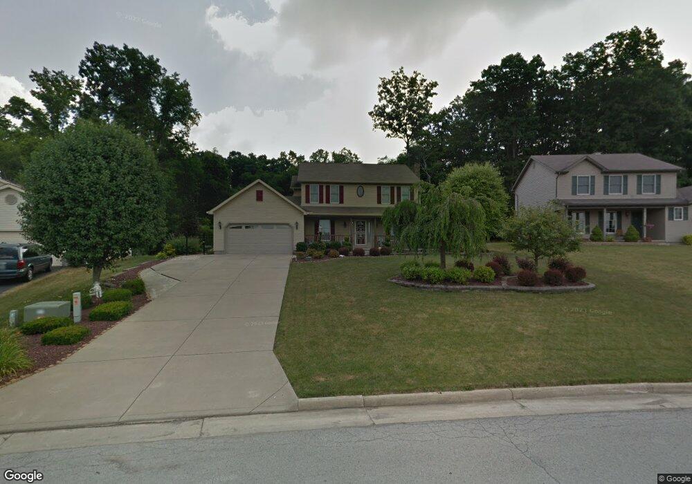
1883 Countryside Dr Youngstown, OH 44515
Austintown NeighborhoodEstimated Value: $338,000 - $422,000
4
Beds
3
Baths
2,630
Sq Ft
$143/Sq Ft
Est. Value
About This Home
This home is located at 1883 Countryside Dr, Youngstown, OH 44515 and is currently estimated at $374,957, approximately $142 per square foot. 1883 Countryside Dr is a home located in Mahoning County with nearby schools including Austintown Elementary School, Austintown Intermediate School, and Austintown Middle School.
Ownership History
Date
Name
Owned For
Owner Type
Purchase Details
Closed on
Dec 10, 2012
Sold by
Bachochin Janith M
Bought by
Bachochin Sean P
Current Estimated Value
Purchase Details
Closed on
Oct 9, 1997
Sold by
Joe Koch Construction Inc
Bought by
Bachochin Sharon L and Bachochin Sean P
Create a Home Valuation Report for This Property
The Home Valuation Report is an in-depth analysis detailing your home's value as well as a comparison with similar homes in the area
Home Values in the Area
Average Home Value in this Area
Purchase History
| Date | Buyer | Sale Price | Title Company |
|---|---|---|---|
| Bachochin Sean P | -- | Attorney | |
| Bachochin Sharon L | $176,745 | -- |
Source: Public Records
Mortgage History
| Date | Status | Borrower | Loan Amount |
|---|---|---|---|
| Closed | Bachochin Sharon L | $0 |
Source: Public Records
Tax History Compared to Growth
Tax History
| Year | Tax Paid | Tax Assessment Tax Assessment Total Assessment is a certain percentage of the fair market value that is determined by local assessors to be the total taxable value of land and additions on the property. | Land | Improvement |
|---|---|---|---|---|
| 2024 | $5,467 | $118,930 | $10,320 | $108,610 |
| 2023 | $5,374 | $118,930 | $10,320 | $108,610 |
| 2022 | $4,348 | $77,140 | $10,310 | $66,830 |
| 2021 | $4,352 | $77,140 | $10,310 | $66,830 |
| 2020 | $4,369 | $77,140 | $10,310 | $66,830 |
| 2019 | $4,667 | $74,900 | $10,010 | $64,890 |
| 2018 | $4,492 | $74,900 | $10,010 | $64,890 |
| 2017 | $4,473 | $74,900 | $10,010 | $64,890 |
| 2016 | $3,990 | $66,100 | $10,010 | $56,090 |
| 2015 | $3,869 | $66,100 | $10,010 | $56,090 |
| 2014 | -- | $66,100 | $10,010 | $56,090 |
| 2013 | $3,843 | $66,100 | $10,010 | $56,090 |
Source: Public Records
Map
Nearby Homes
- 6581 Country Ridge Ave
- 6488 S Timberidge Dr
- 701 Oberlin Place
- 6370 Fairview Rd
- 5678 Cider Mill Crossing
- 557 Wilcox Rd Unit A
- 519 Wilcox Rd Unit A
- 244 Wilcox Rd
- 370 Wilcox Rd
- 5640 Baylor Ave
- 124 Wilcox Rd Unit 124
- 138 Wilcox Rd Unit 138
- 0 Fairview Rd
- 5559 London Dr
- 2792 S Canfield Niles Rd
- 5318 Pinecrest Ave
- 5677 Mahoning Ave
- 5256 S Saratoga Ave
- 5179 Willow Crest Ave
- 5192 Pinecrest Ave
- 1889 Countryside Dr
- 1877 Countryside Dr
- 1895 Countryside Dr
- 5861 Country Trail
- 1888 Countryside Dr
- 1901 Countryside Dr
- 1859 Countryside Dr
- 5867 Country Trail
- 6093 New Rd
- 1894 Countryside Dr
- 6103 New Rd
- 1907 Countryside Dr
- 1900 Countryside Dr
- 1862 Countryside Dr
- 5873 Country Trail
- 1851 Countryside Dr
- 5895 Country Trail
- 1913 Countryside Dr
- 1906 Countryside Dr
- 1856 Countryside Dr