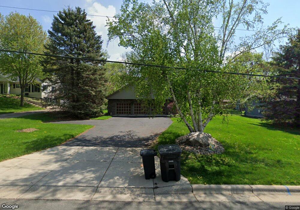
1884 Stryker Ave Saint Paul, MN 55118
Estimated Value: $477,475 - $624,000
3
Beds
3
Baths
2,264
Sq Ft
$244/Sq Ft
Est. Value
About This Home
This home is located at 1884 Stryker Ave, Saint Paul, MN 55118 and is currently estimated at $551,369, approximately $243 per square foot. 1884 Stryker Ave is a home located in Dakota County with nearby schools including Garlough Environmental Magnet, Friendly Hills Middle School, and Two Rivers High School.
Ownership History
Date
Name
Owned For
Owner Type
Purchase Details
Closed on
Feb 1, 2008
Sold by
Boiles David F and Boiles Margaret
Bought by
Orth Thomas and Kanavati Orth Dominique
Current Estimated Value
Home Financials for this Owner
Home Financials are based on the most recent Mortgage that was taken out on this home.
Original Mortgage
$261,500
Outstanding Balance
$165,378
Interest Rate
6.11%
Mortgage Type
New Conventional
Estimated Equity
$385,991
Create a Home Valuation Report for This Property
The Home Valuation Report is an in-depth analysis detailing your home's value as well as a comparison with similar homes in the area
Home Values in the Area
Average Home Value in this Area
Purchase History
| Date | Buyer | Sale Price | Title Company |
|---|---|---|---|
| Orth Thomas | $365,000 | -- |
Source: Public Records
Mortgage History
| Date | Status | Borrower | Loan Amount |
|---|---|---|---|
| Open | Orth Thomas | $261,500 |
Source: Public Records
Tax History
| Year | Tax Paid | Tax Assessment Tax Assessment Total Assessment is a certain percentage of the fair market value that is determined by local assessors to be the total taxable value of land and additions on the property. | Land | Improvement |
|---|---|---|---|---|
| 2024 | $5,886 | $452,500 | $117,700 | $334,800 |
| 2023 | $5,886 | $474,900 | $124,600 | $350,300 |
| 2022 | $5,786 | $457,300 | $124,200 | $333,100 |
| 2021 | $5,674 | $396,700 | $108,000 | $288,700 |
| 2020 | $5,404 | $384,800 | $102,800 | $282,000 |
| 2019 | $5,063 | $354,800 | $93,300 | $261,500 |
| 2018 | $4,938 | $315,600 | $87,200 | $228,400 |
| 2017 | $4,651 | $318,200 | $83,100 | $235,100 |
| 2016 | $4,478 | $286,200 | $75,500 | $210,700 |
| 2015 | $4,580 | $261,420 | $70,698 | $190,722 |
| 2014 | -- | $259,022 | $65,470 | $193,552 |
| 2013 | -- | $237,876 | $59,752 | $178,124 |
Source: Public Records
Map
Nearby Homes
- 1923 Fox Ridge Dr Unit B
- 2012 Pine Ridge Dr
- 8XX Humboldt Ave
- 191 Muriel Blvd
- 260 Westview Dr Unit 213
- 260 Westview Dr Unit 105
- 114 Carmel Ave W Unit 15
- 1871 Chardel Ct
- 1885 Heather Ct
- 1450 Bidwell St Unit 108
- 1450 Bidwell St Unit 110
- 1560 Oakdale Ave
- 4825 Babcock Trail Unit 2005
- 1527 Trellis Ln
- 360 Trenton Ln
- 100 Imperial Dr W Unit 404
- 1531 Traverse Ln
- 396 Thompson Ave W
- 1523 Traverse Ln
- 1526 Traverse Ln
- 1890 Stryker Ave
- 1902 Stryker Ave
- 1900 Stryker Ave
- 1904 Stryker Ave
- 1864 Stryker Ave
- 2 Fox Ridge Ct
- 1906 Stryker Ave
- 1885 Stryker Ave
- 1 Fox Ridge Ct
- 1895 Stryker Ave
- 1875 Stryker Ave
- 1914 Stryker Ave
- 1865 Stryker Ave
- 1912 Stryker Ave
- 1854 Stryker Ave
- 65 Duck Pond Dr
- 1910 Stryker Ave
- 32 Marie Ave W
- 1894 Winslow Ct
- 65 65 Duck Pond Dr
Your Personal Tour Guide
Ask me questions while you tour the home.