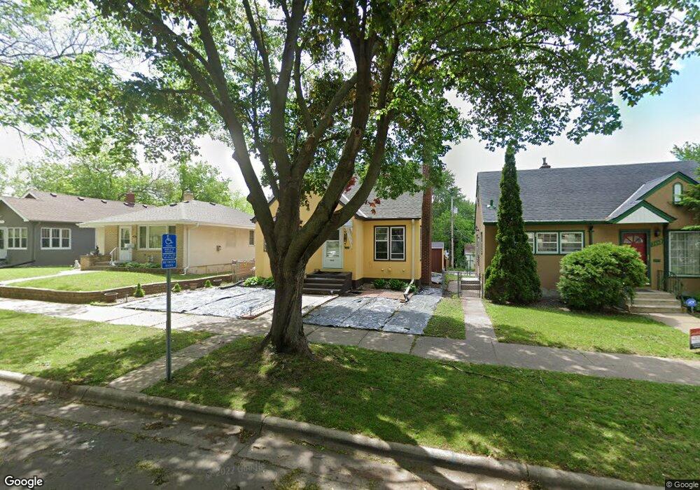
1886 Hawthorne Ave E Saint Paul, MN 55119
Southern Hayden Heights NeighborhoodEstimated Value: $245,000 - $286,000
3
Beds
1
Bath
1,027
Sq Ft
$259/Sq Ft
Est. Value
About This Home
This home is located at 1886 Hawthorne Ave E, Saint Paul, MN 55119 and is currently estimated at $266,362, approximately $259 per square foot. 1886 Hawthorne Ave E is a home located in Ramsey County with nearby schools including The Heights Community School, Txuj Ci HMong Language and Culture Upper Campus, and Johnson Senior High School.
Ownership History
Date
Name
Owned For
Owner Type
Purchase Details
Closed on
May 8, 2009
Sold by
Bank Of Ny Mellon Trust Co
Bought by
Green Jon B
Current Estimated Value
Purchase Details
Closed on
Dec 16, 2003
Sold by
Plummer Deanne K
Bought by
Jones Jeremy and Jones Annette
Purchase Details
Closed on
Aug 28, 1997
Sold by
Vondal Joyce A and Vondal Edlour J
Bought by
Plummer Deann K
Create a Home Valuation Report for This Property
The Home Valuation Report is an in-depth analysis detailing your home's value as well as a comparison with similar homes in the area
Home Values in the Area
Average Home Value in this Area
Purchase History
| Date | Buyer | Sale Price | Title Company |
|---|---|---|---|
| Green Jon B | $57,900 | -- | |
| Jones Jeremy | $158,500 | -- | |
| Plummer Deann K | $82,900 | -- |
Source: Public Records
Tax History Compared to Growth
Tax History
| Year | Tax Paid | Tax Assessment Tax Assessment Total Assessment is a certain percentage of the fair market value that is determined by local assessors to be the total taxable value of land and additions on the property. | Land | Improvement |
|---|---|---|---|---|
| 2025 | $3,660 | $266,800 | $30,000 | $236,800 |
| 2023 | $3,660 | $245,500 | $25,000 | $220,500 |
| 2022 | $3,316 | $269,900 | $25,000 | $244,900 |
| 2021 | $2,924 | $217,500 | $25,000 | $192,500 |
| 2020 | $2,882 | $200,900 | $19,400 | $181,500 |
| 2019 | $2,716 | $181,000 | $19,400 | $161,600 |
| 2018 | $2,356 | $174,800 | $19,400 | $155,400 |
| 2017 | $2,130 | $159,300 | $19,400 | $139,900 |
| 2016 | $2,430 | $0 | $0 | $0 |
| 2015 | $1,946 | $147,700 | $19,400 | $128,300 |
| 2014 | $1,680 | $0 | $0 | $0 |
Source: Public Records
Map
Nearby Homes
- 1891 Maryland Ave E
- 1931 Hawthorne Ave E
- 1976 Orange Ave E
- 1868 Ivy Ave E
- 1755 Maryland Ave E
- 1126 Breen St
- 2032 Hyacinth Ave E
- 1732 Maryland Ave E
- 1111 Breen St
- 1711 Maryland Ave E
- 1806 Sherwood Ave
- 1675 Maryland Ave E
- 1406 Furness Pkwy
- 1664 Orange Ave E
- 1828 Arlington Ave E
- 2311 Nokomis Ave
- 1964 Arlington Ave E
- 1729 Sherwood Ave
- 1950 Case Ave E
- 2112 Cottage Ave E
- 1886 1886 Hawthorne-Avenue-e
- 1882 Hawthorne Ave E
- 1888 Hawthorne Ave E
- 1882 1882 Hawthorne-Avenue-e
- 1892 Hawthorne Ave E
- 1878 Hawthorne Ave E
- 1898 Hawthorne Ave E
- 1874 Hawthorne Ave E
- 1881 Maryland Ave E
- 1881 1881 Maryland-Avenue-e
- 1868 Hawthorne Ave E
- 1868 1868 Hawthorne-Avenue-e
- 1877 Maryland Ave E
- 1877 1877 Maryland-Avenue-e
- 1897 Maryland Ave E
- 1871 Maryland Ave E
- 1885 Hawthorne Ave E
- 1889 Hawthorne Ave E
- 1881 Hawthorne Ave E
- 1864 1864 Hawthorne-Avenue-e