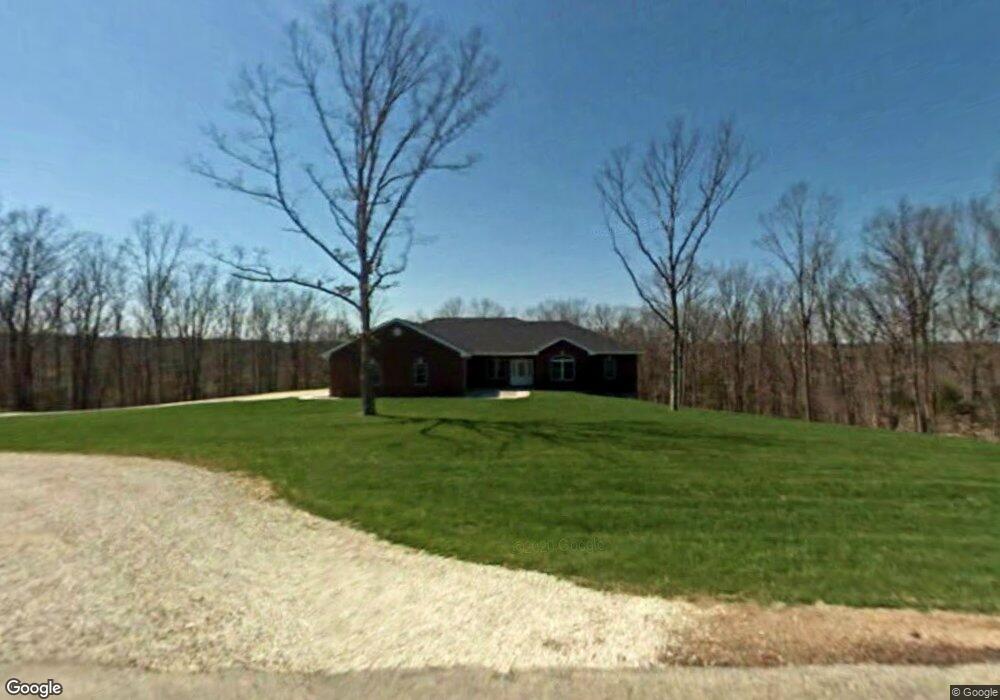
189 Highway Pp Saint Elizabeth, MO 65075
Estimated Value: $565,000 - $580,162
--
Bed
--
Bath
2,261
Sq Ft
$253/Sq Ft
Est. Value
About This Home
This home is located at 189 Highway Pp, Saint Elizabeth, MO 65075 and is currently estimated at $572,581, approximately $253 per square foot. 189 Highway Pp is a home with nearby schools including St. Elizabeth High School.
Ownership History
Date
Name
Owned For
Owner Type
Purchase Details
Closed on
Jan 2, 2025
Sold by
Bax Derek A and Bax Heather M
Bought by
Libbert Dustin and Libbert Danyelle
Current Estimated Value
Home Financials for this Owner
Home Financials are based on the most recent Mortgage that was taken out on this home.
Original Mortgage
$410,052
Outstanding Balance
$407,221
Interest Rate
6.84%
Mortgage Type
FHA
Estimated Equity
$165,360
Purchase Details
Closed on
Jul 22, 2005
Sold by
Ritter Paul A and Ritter Kathleen A
Bought by
Bax Derek A and Bax Heather M
Create a Home Valuation Report for This Property
The Home Valuation Report is an in-depth analysis detailing your home's value as well as a comparison with similar homes in the area
Home Values in the Area
Average Home Value in this Area
Purchase History
| Date | Buyer | Sale Price | Title Company |
|---|---|---|---|
| Libbert Dustin | -- | Midwest Title | |
| Libbert Dustin | -- | Midwest Title | |
| Bax Derek A | -- | None Available |
Source: Public Records
Mortgage History
| Date | Status | Borrower | Loan Amount |
|---|---|---|---|
| Open | Libbert Dustin | $410,052 | |
| Closed | Libbert Dustin | $410,052 |
Source: Public Records
Tax History Compared to Growth
Tax History
| Year | Tax Paid | Tax Assessment Tax Assessment Total Assessment is a certain percentage of the fair market value that is determined by local assessors to be the total taxable value of land and additions on the property. | Land | Improvement |
|---|---|---|---|---|
| 2024 | $2,451 | $47,970 | $1,620 | $46,350 |
| 2023 | $2,450 | $47,970 | $1,620 | $46,350 |
| 2022 | $2,444 | $47,970 | $1,620 | $46,350 |
| 2021 | $2,446 | $47,970 | $1,620 | $46,350 |
| 2020 | $2,344 | $44,280 | $1,620 | $42,660 |
| 2019 | $2,348 | $44,280 | $1,620 | $42,660 |
| 2018 | $2,359 | $44,280 | $1,620 | $42,660 |
| 2017 | $2,346 | $44,770 | $1,570 | $43,200 |
| 2016 | $2,347 | $44,770 | $0 | $0 |
| 2015 | -- | $44,770 | $0 | $0 |
| 2012 | -- | $45,050 | $0 | $0 |
Source: Public Records
Map
Nearby Homes
- 1000 Highway A
- 466 Old 10 Mile Rd
- 470 Old 10 Mile Rd
- 1000 State Highway A
- 1446 Highway 52
- 000 Ponder Slab Rd
- 274 State Highway 42
- 295 State Highway 42
- TBD Missouri 17
- 000 Missouri 17
- 883 Missouri 17
- 3 Highway Jj
- 124 Willow Tree Rd
- 208 E Main St
- 105 Sudhammer Rd
- 273 Highway 42
- TBD County Side Rd
- 00 Tavern Creek Rd
- 0 Tavern Creek Rd
- 111 Highway Bb
- 167 Highway Pp
- 221 Highway Pp
- 176 Highway Pp
- 160 Highway Pp
- 220 Highway Pp
- 216 Humphrey Creek Rd
- 148 Highway Pp
- 137 Highway Pp
- 199 Highway Pp
- 289 Highway Pp
- 285 Highway Pp
- 14 Struemph School Rd
- 0 Hodge Ln
- TBD Hodge Ln
- 22 Struemph School Rd
- 199 Humphrey Creek Rd
- 116 Highway Pp
- 24 Struemph School Rd
- 24 Struemph School Rd
- 291 Highway Pp