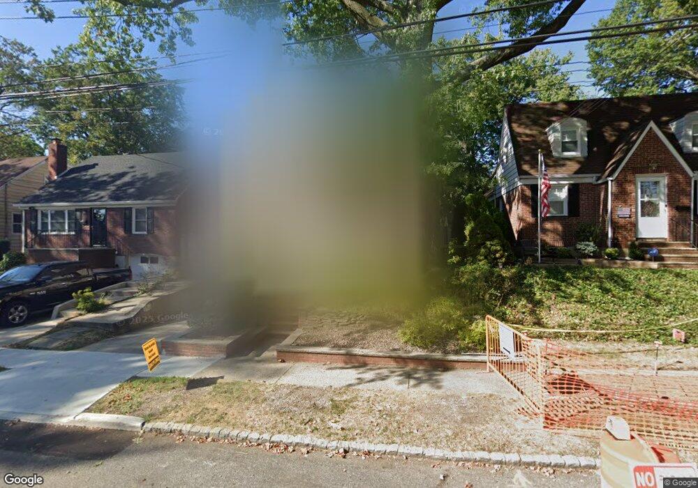
189 Kemball Ave Staten Island, NY 10314
Westerleigh NeighborhoodEstimated Value: $873,000 - $1,123,000
4
Beds
3
Baths
2,400
Sq Ft
$396/Sq Ft
Est. Value
About This Home
This home is located at 189 Kemball Ave, Staten Island, NY 10314 and is currently estimated at $950,224, approximately $395 per square foot. 189 Kemball Ave is a home located in Richmond County with nearby schools including P.S. 30 Westerleigh, I.S. 51 Edwin Markham, and Susan E Wagner High School.
Ownership History
Date
Name
Owned For
Owner Type
Purchase Details
Closed on
Aug 10, 2001
Sold by
Delzoppo Patrick M and Delzoppo Gizelle G
Bought by
Cruz Sean and Cruz Stephanie A
Current Estimated Value
Home Financials for this Owner
Home Financials are based on the most recent Mortgage that was taken out on this home.
Original Mortgage
$275,000
Interest Rate
6.92%
Create a Home Valuation Report for This Property
The Home Valuation Report is an in-depth analysis detailing your home's value as well as a comparison with similar homes in the area
Home Values in the Area
Average Home Value in this Area
Purchase History
| Date | Buyer | Sale Price | Title Company |
|---|---|---|---|
| Cruz Sean | $377,500 | -- |
Source: Public Records
Mortgage History
| Date | Status | Borrower | Loan Amount |
|---|---|---|---|
| Previous Owner | Cruz Sean | $275,000 | |
| Closed | Cruz Sean | $64,750 |
Source: Public Records
Tax History Compared to Growth
Tax History
| Year | Tax Paid | Tax Assessment Tax Assessment Total Assessment is a certain percentage of the fair market value that is determined by local assessors to be the total taxable value of land and additions on the property. | Land | Improvement |
|---|---|---|---|---|
| 2025 | $7,979 | $53,400 | $10,905 | $42,495 |
| 2024 | $7,991 | $43,620 | $13,350 | $30,270 |
| 2023 | $8,005 | $40,817 | $11,606 | $29,211 |
| 2022 | $7,400 | $48,000 | $14,160 | $33,840 |
| 2021 | $7,342 | $46,800 | $14,160 | $32,640 |
| 2020 | $8,807 | $40,380 | $14,160 | $26,220 |
| 2019 | $6,877 | $43,320 | $14,160 | $29,160 |
| 2018 | $6,636 | $34,014 | $13,652 | $20,362 |
| 2017 | $6,242 | $32,089 | $13,403 | $18,686 |
| 2016 | $5,742 | $30,273 | $14,119 | $16,154 |
| 2015 | $5,176 | $28,560 | $15,720 | $12,840 |
| 2014 | $5,176 | $28,560 | $15,720 | $12,840 |
Source: Public Records
Map
Nearby Homes
- 133 Goodwin Ave
- 142 Margaretta Ct
- 14 Leonard Ave
- 307 Fiske Ave
- 307 Clinton B Fiske Ave
- 25 Coale Ave
- 125 Westcott Blvd
- 63 Avon Ln
- 2111 Victory Blvd
- 80 Kemball Ave
- 751 Jewett Ave Unit 17
- 751 Jewett Ave
- 282 Willard Ave
- 85 Perry Ave
- 279 Saint John Ave
- 86 Clermont Place
- 26 Iowa Place
- 144 Purdy Ave
- 140 Constant Ave
- 202 Watchogue Rd
- 193 Kemball Ave
- 185 Kemball Ave
- 197 Kemball Ave
- 181 Kemball Ave
- 178 Crowell Ave
- 174 Crowell Ave
- 182 Crowell Ave
- 203 Kemball Ave
- 177 Kemball Ave
- 186 Crowell Ave
- 170 Crowell Ave
- 190 Crowell Ave
- 173 Kemball Ave
- 162 Crowell Ave
- 207 Kemball Ave
- 186 Kemball Ave
- 198 Kemball Ave
- 194 Kemball Ave
- 194 Crowell Ave
- 209 Kemball Ave