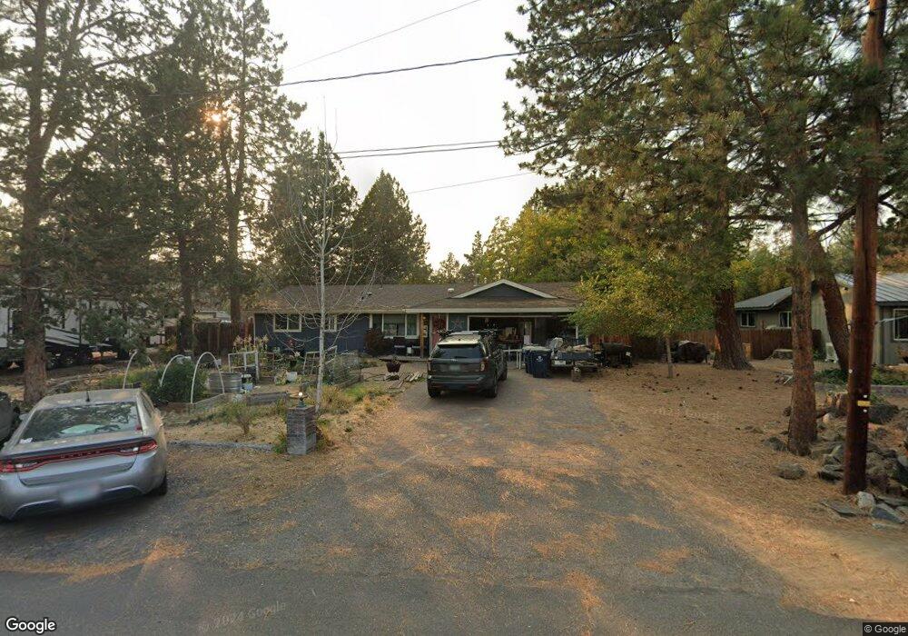
189 SE Cessna Dr Bend, OR 97702
Larkspur NeighborhoodEstimated Value: $471,000 - $526,000
3
Beds
2
Baths
1,120
Sq Ft
$447/Sq Ft
Est. Value
About This Home
This home is located at 189 SE Cessna Dr, Bend, OR 97702 and is currently estimated at $500,189, approximately $446 per square foot. 189 SE Cessna Dr is a home located in Deschutes County with nearby schools including Bear Creek Elementary School, Pilot Butte Middle School, and Bend Senior High School.
Ownership History
Date
Name
Owned For
Owner Type
Purchase Details
Closed on
Jan 8, 2026
Sold by
Nichols Kathryn
Bought by
Kathryn Nichols Living Trust and Nichols
Current Estimated Value
Purchase Details
Closed on
Nov 8, 2010
Sold by
Harris Shane M
Bought by
Nichols Kathryn
Purchase Details
Closed on
Feb 26, 2007
Sold by
Rohde Terry Lee and Rohde Lorna J
Bought by
Harris Shane M
Home Financials for this Owner
Home Financials are based on the most recent Mortgage that was taken out on this home.
Original Mortgage
$171,750
Interest Rate
6.21%
Mortgage Type
Purchase Money Mortgage
Create a Home Valuation Report for This Property
The Home Valuation Report is an in-depth analysis detailing your home's value as well as a comparison with similar homes in the area
Home Values in the Area
Average Home Value in this Area
Purchase History
| Date | Buyer | Sale Price | Title Company |
|---|---|---|---|
| Kathryn Nichols Living Trust | -- | None Listed On Document | |
| Nichols Kathryn | $110,000 | Deschutes County Title Co | |
| Harris Shane M | $229,000 | Western Title & Escrow Co |
Source: Public Records
Mortgage History
| Date | Status | Borrower | Loan Amount |
|---|---|---|---|
| Previous Owner | Harris Shane M | $171,750 |
Source: Public Records
Tax History
| Year | Tax Paid | Tax Assessment Tax Assessment Total Assessment is a certain percentage of the fair market value that is determined by local assessors to be the total taxable value of land and additions on the property. | Land | Improvement |
|---|---|---|---|---|
| 2025 | $2,609 | $154,430 | -- | -- |
| 2024 | $2,511 | $149,940 | -- | -- |
| 2023 | $2,327 | $145,580 | $0 | $0 |
| 2022 | $2,171 | $137,230 | $0 | $0 |
| 2021 | $2,175 | $133,240 | $0 | $0 |
| 2020 | $2,063 | $133,240 | $0 | $0 |
| 2019 | $2,006 | $129,360 | $0 | $0 |
| 2018 | $1,949 | $125,600 | $0 | $0 |
| 2017 | $1,892 | $121,950 | $0 | $0 |
| 2016 | $1,805 | $118,400 | $0 | $0 |
| 2015 | $1,755 | $114,960 | $0 | $0 |
| 2014 | $1,703 | $111,620 | $0 | $0 |
Source: Public Records
Map
Nearby Homes
- 161 SE Rice Way
- 301 SE Springer Ct
- 98 NE Telima Ln
- 21024 SE Azalia Ave
- 268 SE 15th St Unit 268/270
- 789 SE Airpark Dr
- 1540 NE Bear Creek Rd
- 61813 Azalia Place
- 29850 NE Highway 20
- 734 SE Manley Place
- 61839 Avonlea Cir
- 21191 SE Kayla Ct
- 1761 SE Ironwood Ct
- 61839 SE 27th St
- 2200 NE Hwy 20 Unit 15
- 61725 SE Daly Estates Rd
- 1001 SE 15th St Unit 39
- 1001 SE 15th St Unit 31
- 1001 SE 15th St Unit 110
- 1001 SE 15th St Unit 126
- 177 SE Cessna Dr
- 190 SE Craven Rd
- 216 SE Cessna Dr
- 163 SE Cessna Dr
- 224 SE Craven Rd
- 176 SE Cessna Dr
- 162 SE Craven Rd
- 194 SE Cessna Dr
- 210 SE Cessna Dr
- 182 SE Cessna Dr
- 149 SE Piper Dr
- 164 SE Cessna Dr
- 149 SE Cessna Dr
- 244 SE Craven Rd
- 189 SE Craven Rd
- 1815 SE Cessna Dr
- 148 SE Craven Rd
- 162 SE Piper Dr
- 173 SE Craven Rd
Your Personal Tour Guide
Ask me questions while you tour the home.