189 Stark Rd Newport, NH 03773
Estimated Value: $202,000 - $272,948
4
Beds
3
Baths
1,632
Sq Ft
$142/Sq Ft
Est. Value
About This Home
This home is located at 189 Stark Rd, Newport, NH 03773 and is currently estimated at $231,237, approximately $141 per square foot. 189 Stark Rd is a home.
Ownership History
Date
Name
Owned For
Owner Type
Purchase Details
Closed on
Sep 27, 2024
Sold by
Stone Jane E
Bought by
Murphy Paula
Current Estimated Value
Home Financials for this Owner
Home Financials are based on the most recent Mortgage that was taken out on this home.
Original Mortgage
$153,600
Outstanding Balance
$152,028
Interest Rate
6.49%
Mortgage Type
Purchase Money Mortgage
Estimated Equity
$79,209
Create a Home Valuation Report for This Property
The Home Valuation Report is an in-depth analysis detailing your home's value as well as a comparison with similar homes in the area
Home Values in the Area
Average Home Value in this Area
Purchase History
| Date | Buyer | Sale Price | Title Company |
|---|---|---|---|
| Murphy Paula | $192,000 | None Available | |
| Murphy Paula | $192,000 | None Available |
Source: Public Records
Mortgage History
| Date | Status | Borrower | Loan Amount |
|---|---|---|---|
| Open | Murphy Paula | $153,600 | |
| Closed | Murphy Paula | $153,600 |
Source: Public Records
Tax History Compared to Growth
Tax History
| Year | Tax Paid | Tax Assessment Tax Assessment Total Assessment is a certain percentage of the fair market value that is determined by local assessors to be the total taxable value of land and additions on the property. | Land | Improvement |
|---|---|---|---|---|
| 2024 | $3,939 | $136,500 | $28,900 | $107,600 |
| 2023 | $4,186 | $154,400 | $28,900 | $125,500 |
| 2022 | $3,652 | $154,400 | $28,900 | $125,500 |
| 2021 | $3,669 | $154,400 | $28,900 | $125,500 |
| 2020 | $3,835 | $154,400 | $28,900 | $125,500 |
| 2019 | $3,736 | $136,800 | $23,400 | $113,400 |
| 2018 | $4,001 | $136,800 | $23,400 | $113,400 |
| 2017 | $3,457 | $136,800 | $23,400 | $113,400 |
| 2016 | $3,349 | $135,800 | $23,400 | $112,400 |
| 2015 | $3,160 | $135,800 | $23,400 | $112,400 |
| 2014 | $3,087 | $154,500 | $33,000 | $121,500 |
| 2013 | $3,150 | $154,500 | $33,000 | $121,500 |
Source: Public Records
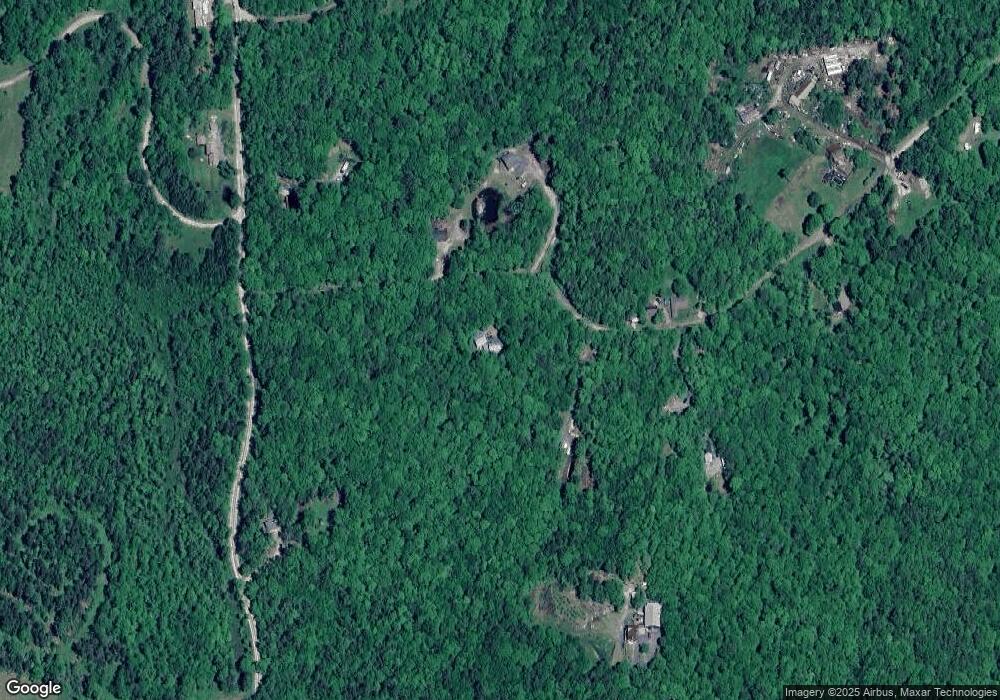
Map
Nearby Homes
- 48 S Koski Rd
- 6 Benway Hill Rd
- 144 Keyes Hollow Rd
- Lot 11-5 Ball Park Rd
- Lot 11-2 Ball Park Rd
- Lot 11-1 Ball Park Rd
- 709 Unity Springs Rd
- Lot 21 Dodge Pond Ln
- 17 Meadow Rd
- 8 Skyline Rd
- 100 Crescent Lake Rd
- 24 Ball Park Rd
- 33 Four Corners Rd
- 126 Crescent Lake Rd
- 256 Center Rd
- 8 Hillside Dr
- 216 Center Rd
- 444 Potato Hill Rd
- 382 Center Rd
- 21 Sholes Rd