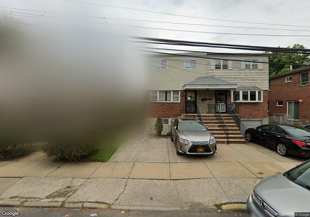
18912 Station Rd Flushing, NY 11358
Auburndale NeighborhoodEstimated Value: $834,000 - $900,720
--
Bed
--
Bath
1,332
Sq Ft
$657/Sq Ft
Est. Value
About This Home
This home is located at 18912 Station Rd, Flushing, NY 11358 and is currently estimated at $875,680, approximately $657 per square foot. 18912 Station Rd is a home located in Queens County with nearby schools including P.S. 31 - Bayside, I.S. 25 Adrien Block, and Francis Lewis High School.
Ownership History
Date
Name
Owned For
Owner Type
Purchase Details
Closed on
Oct 3, 2023
Sold by
Groth As Trustee Donna M and Groth
Bought by
Groth As Trustee Donna M and Pozzetti
Current Estimated Value
Purchase Details
Closed on
Dec 31, 2020
Sold by
Groth Donna and Groth Donna M
Bought by
Groth Donna M and The Doreen Pozzetti Supplemental Needs T
Create a Home Valuation Report for This Property
The Home Valuation Report is an in-depth analysis detailing your home's value as well as a comparison with similar homes in the area
Home Values in the Area
Average Home Value in this Area
Purchase History
| Date | Buyer | Sale Price | Title Company |
|---|---|---|---|
| Groth As Trustee Donna M | $450,000 | -- | |
| Groth Donna M | -- | -- |
Source: Public Records
Tax History Compared to Growth
Tax History
| Year | Tax Paid | Tax Assessment Tax Assessment Total Assessment is a certain percentage of the fair market value that is determined by local assessors to be the total taxable value of land and additions on the property. | Land | Improvement |
|---|---|---|---|---|
| 2025 | $8,624 | $43,236 | $12,298 | $30,938 |
| 2024 | $8,624 | $42,937 | $12,937 | $30,000 |
| 2023 | $7,373 | $40,510 | $12,235 | $28,275 |
| 2022 | $2,367 | $52,980 | $15,240 | $37,740 |
| 2021 | $3,359 | $56,700 | $15,240 | $41,460 |
| 2020 | $3,154 | $52,380 | $15,240 | $37,140 |
| 2019 | $3,083 | $53,760 | $15,240 | $38,520 |
| 2018 | $2,782 | $33,758 | $11,165 | $22,593 |
| 2017 | $2,600 | $31,849 | $11,298 | $20,551 |
| 2016 | $2,560 | $31,849 | $11,298 | $20,551 |
| 2015 | $769 | $30,025 | $13,087 | $16,938 |
| 2014 | $769 | $29,818 | $12,607 | $17,211 |
Source: Public Records
Map
Nearby Homes
- 4014 191st St
- 191-08 Station Rd
- 189-23 39th Ave Unit 122
- 19112 Station Rd
- 190-17 42nd Ave
- 190-05 39th Ave Unit 140
- 190-05 39th Ave Unit 142
- 191-09 39th Ave Unit Lower
- 191-9 39th Ave Unit 164
- 191-22 39th Ave
- 36-20 190th St
- 42-25 189th St
- 45 24 171st St
- 3639 171st St Unit 26
- 40-38 194th St Unit A-1
- 4048 194th St Unit A3
- 188-02 Northern Blvd
- 194-23 Station Rd
- 35-20 Utopia Pkwy
- 170-06 Crocheron Ave Unit 1F
- 189-12 Station Rd
- 18914 Station Rd
- 18910 Station Rd
- 18916 Station Rd
- 18908 Station Rd
- 189-16 Station Rd
- 40-15 189th St
- 18918 Station Rd
- 4012 190th St
- 4011 189th St
- 4005 189th St
- 4007 189th St
- 40-14 190th St Unit 2FL
- 4014 190th St
- 4015 189th St
- 40-18 190th St
- 4018 190th St
- 4017 189th St
- 18915 Station Rd
- 40-09 190th St