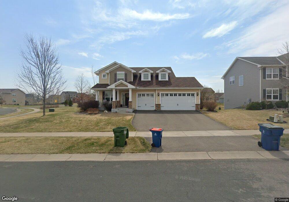
18931 62nd Place N Maple Grove, MN 55311
Estimated Value: $698,171 - $1,009,000
5
Beds
4
Baths
2,706
Sq Ft
$301/Sq Ft
Est. Value
About This Home
This home is located at 18931 62nd Place N, Maple Grove, MN 55311 and is currently estimated at $813,293, approximately $300 per square foot. 18931 62nd Place N is a home with nearby schools including Wayzata Central Middle School, Wayzata High School, and Ave Maria Academy.
Ownership History
Date
Name
Owned For
Owner Type
Purchase Details
Closed on
Nov 10, 2011
Sold by
Us Home Corporation
Bought by
Freeman Lon C and Freeman Carrie A
Current Estimated Value
Home Financials for this Owner
Home Financials are based on the most recent Mortgage that was taken out on this home.
Original Mortgage
$340,000
Outstanding Balance
$231,847
Interest Rate
4.02%
Mortgage Type
New Conventional
Estimated Equity
$581,446
Create a Home Valuation Report for This Property
The Home Valuation Report is an in-depth analysis detailing your home's value as well as a comparison with similar homes in the area
Home Values in the Area
Average Home Value in this Area
Purchase History
| Date | Buyer | Sale Price | Title Company |
|---|---|---|---|
| Freeman Lon C | $430,000 | North American Title Co |
Source: Public Records
Mortgage History
| Date | Status | Borrower | Loan Amount |
|---|---|---|---|
| Open | Freeman Lon C | $340,000 |
Source: Public Records
Tax History Compared to Growth
Tax History
| Year | Tax Paid | Tax Assessment Tax Assessment Total Assessment is a certain percentage of the fair market value that is determined by local assessors to be the total taxable value of land and additions on the property. | Land | Improvement |
|---|---|---|---|---|
| 2024 | $7,702 | $641,600 | $180,400 | $461,200 |
| 2023 | $7,425 | $648,500 | $178,800 | $469,700 |
| 2022 | $6,254 | $618,100 | $135,800 | $482,300 |
| 2021 | $6,266 | $496,000 | $95,600 | $400,400 |
| 2020 | $6,419 | $492,400 | $108,100 | $384,300 |
| 2019 | $6,501 | $485,900 | $108,600 | $377,300 |
| 2018 | $6,514 | $485,100 | $122,600 | $362,500 |
| 2017 | $6,136 | $444,500 | $111,000 | $333,500 |
| 2016 | $6,237 | $440,100 | $111,000 | $329,100 |
| 2015 | $6,243 | $431,400 | $120,000 | $311,400 |
| 2014 | -- | $388,300 | $110,000 | $278,300 |
Source: Public Records
Map
Nearby Homes
- 6290 Larkspur Ln
- 6288 Larkspur Ln
- 6298 Larkspur Ln
- 5989 Xanthus Ln N
- 20045 67th Ave
- 6540 Yellowstone Ln N
- 6205 Ranier Ln N
- 6430 Bluestem Cir
- 19422 Lupine Ln
- 1988 Leaping Deer Cir
- 6300 Ranier Ln N
- 260 Calamus Cir
- 5580 Alvarado Ln N
- 17749 62nd Ave N
- 6757 Urbandale Ln N
- 6230 Elm Ridge Cir
- 20144 68th Ave N
- 6750 Troy Ln N
- 18120 57th Ave N
- 6647 Peony Ln N
- 18963 62nd Place N
- 18985 62nd Place N
- 18932 18932 62nd-Place-n
- 18950 62nd Ave N
- 6250 Zircon Ln N
- 18913 18913 62nd-Avenue-n
- 18932 62nd Place N
- 18972 62nd Ave N
- 18964 62nd Place N
- 6262 Zircon Ln N
- 18997 62nd Place N
- 18994 62nd Ave N
- 18879 62nd Place N
- 18879 62nd Place N
- 18868 62nd Place N
- 6285 Zircon Ln N
- 18998 18998 62nd-Place-n
- 18998 62nd Place N
- 19006 62nd Ave N
- 18901 18901 62nd-Avenue-n