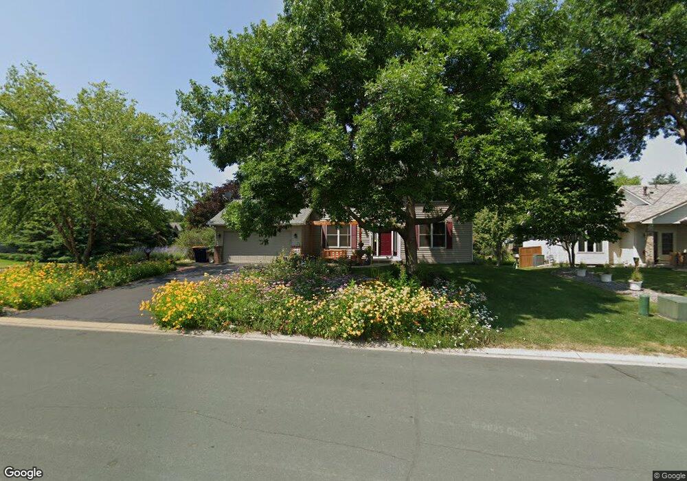
1894 Pheasant Run St Shakopee, MN 55379
Estimated Value: $451,000 - $513,000
3
Beds
3
Baths
2,172
Sq Ft
$219/Sq Ft
Est. Value
About This Home
This home is located at 1894 Pheasant Run St, Shakopee, MN 55379 and is currently estimated at $476,388, approximately $219 per square foot. 1894 Pheasant Run St is a home located in Scott County with nearby schools including Sun Path Elementary School, Shakopee West Middle School, and Shakopee Senior High School.
Ownership History
Date
Name
Owned For
Owner Type
Purchase Details
Closed on
Jun 16, 1999
Sold by
Key-Land Homes
Bought by
Fugle Thomas R
Current Estimated Value
Purchase Details
Closed on
May 4, 1999
Sold by
Elmer & Kathryn Marshall Family Trust
Bought by
U S Home Corp
Purchase Details
Closed on
Feb 22, 1999
Sold by
Pheasant Run Of Shakopee L L P
Bought by
Key-Land Homes
Create a Home Valuation Report for This Property
The Home Valuation Report is an in-depth analysis detailing your home's value as well as a comparison with similar homes in the area
Home Values in the Area
Average Home Value in this Area
Purchase History
| Date | Buyer | Sale Price | Title Company |
|---|---|---|---|
| Fugle Thomas R | $183,482 | -- | |
| U S Home Corp | $237,076 | -- | |
| Key-Land Homes | $38,900 | -- |
Source: Public Records
Mortgage History
| Date | Status | Borrower | Loan Amount |
|---|---|---|---|
| Closed | Key-Land Homes | -- |
Source: Public Records
Tax History Compared to Growth
Tax History
| Year | Tax Paid | Tax Assessment Tax Assessment Total Assessment is a certain percentage of the fair market value that is determined by local assessors to be the total taxable value of land and additions on the property. | Land | Improvement |
|---|---|---|---|---|
| 2025 | $4,368 | $417,000 | $137,500 | $279,500 |
| 2024 | $4,336 | $421,100 | $137,500 | $283,600 |
| 2023 | $4,582 | $405,200 | $132,100 | $273,100 |
| 2022 | $4,062 | $419,900 | $150,100 | $269,800 |
| 2021 | $3,406 | $324,800 | $115,900 | $208,900 |
| 2020 | $3,694 | $300,200 | $111,200 | $189,000 |
| 2019 | $3,852 | $286,900 | $98,800 | $188,100 |
| 2018 | $4,340 | $0 | $0 | $0 |
| 2016 | $4,212 | $0 | $0 | $0 |
| 2014 | -- | $0 | $0 | $0 |
Source: Public Records
Map
Nearby Homes
- 2052 Wilhelm Ct
- 2777 Pampas Ct
- 1844 Mockingbird Ave Unit 1102
- 1895 Omega Dr
- 1820 Mockingbird Ave
- 2471 Tyrone Dr
- 1552 Dublin Ct
- 2447 Tyrone Dr
- 1624 Philipp Way
- 2399 Tyrone Dr
- 2518 Green Ash Ave
- 2529 Green Ash Ave
- 1511 England Way
- Berkley Plan at Arbor Bluff - Venture Collection
- 2551 Aspen Ct
- Clark Plan at Arbor Bluff - Venture Collection
- 2548 Aspen Ct
- Itasca Plan at Arbor Bluff - Landmark Collection
- Sequoia Plan at Arbor Bluff - Venture Collection
- Markham Plan at Arbor Bluff - Venture Collection
- 1882 Pheasant Run St
- 2203 Mathias Rd
- 1906 Pheasant Run St
- 1870 Pheasant Run St
- 2299 Mathias Rd
- 2187 Mathias Rd
- 2198 Mathias Rd
- 1852 Quail Dr
- 1858 Pheasant Run St
- 1918 Pheasant Run St
- 2182 Mathias Rd
- 2171 Mathias Rd
- 2315 Mathias Rd
- 2192 Groveland Way
- 1856 Quail Dr
- 2310 Mathias Rd
- 2166 Mathias Rd
- 2202 Groveland Way
- 2155 Mathias Rd
- 2182 Groveland Way