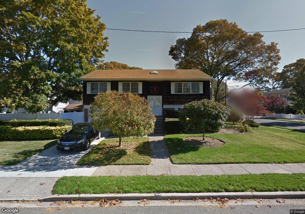
1899 State St Merrick, NY 11566
Estimated Value: $773,000 - $889,519
4
Beds
2
Baths
2,100
Sq Ft
$396/Sq Ft
Est. Value
About This Home
This home is located at 1899 State St, Merrick, NY 11566 and is currently estimated at $831,260, approximately $395 per square foot. 1899 State St is a home located in Nassau County with nearby schools including Merrick Avenue Middle School, Sanford H Calhoun High School, and Grace Christian Academy.
Ownership History
Date
Name
Owned For
Owner Type
Purchase Details
Closed on
Nov 28, 2022
Sold by
Tassiello Arthur
Bought by
Tassiello Arthur and The Arthur Tassiello Revocable Trust
Current Estimated Value
Purchase Details
Closed on
Dec 8, 2017
Sold by
Mauro Charles M and Mauro Richard J
Bought by
Tassiello Arthur
Purchase Details
Closed on
Aug 16, 2002
Sold by
Mauro Charles
Create a Home Valuation Report for This Property
The Home Valuation Report is an in-depth analysis detailing your home's value as well as a comparison with similar homes in the area
Home Values in the Area
Average Home Value in this Area
Purchase History
| Date | Buyer | Sale Price | Title Company |
|---|---|---|---|
| Tassiello Arthur | -- | Judicial Title | |
| Tassiello Arthur | $465,000 | -- | |
| -- | -- | -- |
Source: Public Records
Tax History Compared to Growth
Tax History
| Year | Tax Paid | Tax Assessment Tax Assessment Total Assessment is a certain percentage of the fair market value that is determined by local assessors to be the total taxable value of land and additions on the property. | Land | Improvement |
|---|---|---|---|---|
| 2025 | $15,193 | $547 | $235 | $312 |
| 2024 | $3,822 | $530 | $227 | $303 |
| 2023 | $13,115 | $527 | $226 | $301 |
| 2022 | $13,115 | $552 | $218 | $334 |
| 2021 | $14,667 | $537 | $212 | $325 |
| 2020 | $14,573 | $783 | $483 | $300 |
| 2019 | $5,264 | $988 | $609 | $379 |
| 2018 | $12,830 | $988 | $0 | $0 |
| 2017 | $7,470 | $988 | $609 | $379 |
| 2016 | $11,469 | $988 | $609 | $379 |
| 2015 | $3,487 | $988 | $609 | $379 |
| 2014 | $3,487 | $988 | $609 | $379 |
| 2013 | $3,244 | $988 | $609 | $379 |
Source: Public Records
Map
Nearby Homes
- 1707 Carroll Ave
- 1729 Gormley Ave
- 1938 Meadowbrook Rd
- 1824 Gildersleeve St
- 1772 Rose St
- 1922 Horatio Ave
- 96 Thelma Ave
- 1800 Remson Ave
- 1741 Pettit Ave
- 1910 Adair Place
- 1931 Miller Place
- 12 Washington Dr
- 49 Elizabeth St
- 2 Garfield St
- 19 Margaret Blvd
- 451 Babylon Turnpike
- 25 Babylon Turnpike
- 78 Jesse St
- 42 E Webster St
- 9 Bainbridge St
- 1763 Frederick Ave
- 1898 State St
- 1756 Willis Ave
- 1762 Willis Ave
- 1769 Frederick Ave
- 1768 Willis Ave
- 1739 Frederick Ave
- 1880 State St
- 1911 State St
- 1737 Frederick Ave
- 1772 Willis Ave
- 1768 Frederick Ave
- 1740 Willis Ave
- 1910 State St
- 1777 Frederick Ave
- 1774 Frederick Ave
- 1742 Frederick Ave
- 1776 Willis Ave
- 1733 Frederick Ave
- 1736 Willis Ave