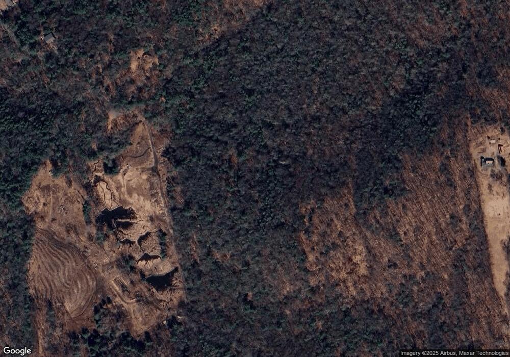
19 Bailey Rd Ashfield, MA 01330
Ashfield NeighborhoodEstimated Value: $226,000 - $418,000
2
Beds
1
Bath
1,505
Sq Ft
$201/Sq Ft
Est. Value
About This Home
This home is located at 19 Bailey Rd, Ashfield, MA 01330 and is currently estimated at $302,640, approximately $201 per square foot. 19 Bailey Rd is a home with nearby schools including Mohawk Trail Regional High School.
Ownership History
Date
Name
Owned For
Owner Type
Purchase Details
Closed on
May 29, 2009
Sold by
Davis Pauline B and Davis Pauline C
Bought by
Davis Pauline B and Davis Edward Myles
Current Estimated Value
Purchase Details
Closed on
Apr 15, 2004
Sold by
Davis Pauline C
Bought by
King Marcia A and Moore Robert E
Home Financials for this Owner
Home Financials are based on the most recent Mortgage that was taken out on this home.
Original Mortgage
$168,000
Interest Rate
5.58%
Mortgage Type
Purchase Money Mortgage
Create a Home Valuation Report for This Property
The Home Valuation Report is an in-depth analysis detailing your home's value as well as a comparison with similar homes in the area
Home Values in the Area
Average Home Value in this Area
Purchase History
| Date | Buyer | Sale Price | Title Company |
|---|---|---|---|
| Davis Pauline B | -- | -- | |
| King Marcia A | $35,000 | -- |
Source: Public Records
Mortgage History
| Date | Status | Borrower | Loan Amount |
|---|---|---|---|
| Previous Owner | King Marcia A | $16,800 | |
| Previous Owner | King Marcia A | $168,000 | |
| Previous Owner | King Marcia A | $20,000 |
Source: Public Records
Tax History
| Year | Tax Paid | Tax Assessment Tax Assessment Total Assessment is a certain percentage of the fair market value that is determined by local assessors to be the total taxable value of land and additions on the property. | Land | Improvement |
|---|---|---|---|---|
| 2025 | $2,914 | $216,500 | $99,200 | $117,300 |
| 2024 | $3,080 | $210,800 | $99,200 | $111,600 |
| 2023 | $2,934 | $166,600 | $80,400 | $86,200 |
| 2022 | $2,803 | $161,300 | $76,900 | $84,400 |
| 2021 | $6,840 | $160,300 | $76,900 | $83,400 |
| 2020 | $4,780 | $286,900 | $200,800 | $86,100 |
| 2019 | $5,054 | $294,500 | $208,400 | $86,100 |
| 2018 | $4,980 | $289,900 | $208,400 | $81,500 |
| 2017 | $4,744 | $292,500 | $207,500 | $85,000 |
| 2016 | $4,699 | $285,800 | $207,500 | $78,300 |
| 2015 | $4,638 | $290,400 | $212,100 | $78,300 |
| 2014 | $4,446 | $275,100 | $194,100 | $81,000 |
Source: Public Records
Map
Nearby Homes
- 143 E Buckland Rd
- 0 Upper St
- 240 Beldingville Rd
- 7 Hog Hollow Rd
- 220 Hawley Rd
- 102 Elm St
- 10 Deerfield Ave Unit 5
- 10 Deerfield Ave Unit 2
- 33 Williams St
- 1451 Route 2 E
- 1451 Massachusetts 2
- 85 Dacey Rd
- lot 1 Shelburne Falls Rd
- 31 W Oxbow Rd
- 24 W Oxbow Rd
- 292 E Hawley Rd
- 2151 Route 2
- 2155 Massachusetts 2
- 0, Lot 7 East Rd
- Lot 3.2 East Rd
- 15 Bailey Rd
- 17 Hodgen Rd
- 00 Bailey Rd
- 0 Bailey Rd
- 47 Bailey Rd
- 10 Hodgen Rd
- 58 Ashfield Rd
- 121 Ashfield Rd
- 14 Ashfield Rd
- 57 Ashfield Rd Unit 57
- 15 Hodgen Rd
- 1195 Ashfield Mountain Rd
- 295 Ashfield Rd
- 1211 Ashfield Mountain Rd
- 30 Bailey Rd
- 289 Ashfield Rd
- 2 Clesson Brook Rd
- 287 Ashfield Rd
- 290 Ashfield Rd
- 288 Ashfield Rd
