19 Bold Meadow Rd Edgartown, MA 02539
Edgartown NeighborhoodEstimated Value: $1,765,000 - $2,336,715
3
Beds
3
Baths
2,112
Sq Ft
$1,002/Sq Ft
Est. Value
About This Home
This home is located at 19 Bold Meadow Rd, Edgartown, MA 02539 and is currently estimated at $2,116,429, approximately $1,002 per square foot. 19 Bold Meadow Rd is a home located in Dukes County with nearby schools including Edgartown Elementary School and Martha's Vineyard Regional High School.
Ownership History
Date
Name
Owned For
Owner Type
Purchase Details
Closed on
May 12, 2000
Sold by
Davis Albert J
Bought by
Daniele Paul and Daniele Carolyn
Current Estimated Value
Purchase Details
Closed on
Sep 10, 1996
Sold by
Bold Meadow T and Keim Robert L
Bought by
Grzesiuk William E
Create a Home Valuation Report for This Property
The Home Valuation Report is an in-depth analysis detailing your home's value as well as a comparison with similar homes in the area
Home Values in the Area
Average Home Value in this Area
Purchase History
| Date | Buyer | Sale Price | Title Company |
|---|---|---|---|
| Daniele Paul | $385,000 | -- | |
| Grzesiuk William E | $281,684 | -- |
Source: Public Records
Mortgage History
| Date | Status | Borrower | Loan Amount |
|---|---|---|---|
| Open | Grzesiuk William E | $363,000 | |
| Open | Grzesiuk William E | $700,000 | |
| Closed | Grzesiuk William E | $700,000 |
Source: Public Records
Tax History
| Year | Tax Paid | Tax Assessment Tax Assessment Total Assessment is a certain percentage of the fair market value that is determined by local assessors to be the total taxable value of land and additions on the property. | Land | Improvement |
|---|---|---|---|---|
| 2025 | $4,423 | $1,669,000 | $769,600 | $899,400 |
| 2024 | $3,854 | $1,511,500 | $769,600 | $741,900 |
| 2023 | $3,906 | $1,550,000 | $794,300 | $755,700 |
| 2022 | $4,210 | $1,389,600 | $794,300 | $595,300 |
| 2021 | $4,198 | $1,279,900 | $684,600 | $595,300 |
| 2020 | $3,758 | $1,121,900 | $629,100 | $492,800 |
| 2019 | $4,384 | $1,132,700 | $610,600 | $522,100 |
| 2018 | $3,947 | $1,019,900 | $555,100 | $464,800 |
| 2017 | $3,442 | $969,700 | $592,100 | $377,600 |
| 2016 | $3,062 | $845,900 | $497,700 | $348,200 |
| 2015 | $2,762 | $795,900 | $497,700 | $298,200 |
Source: Public Records
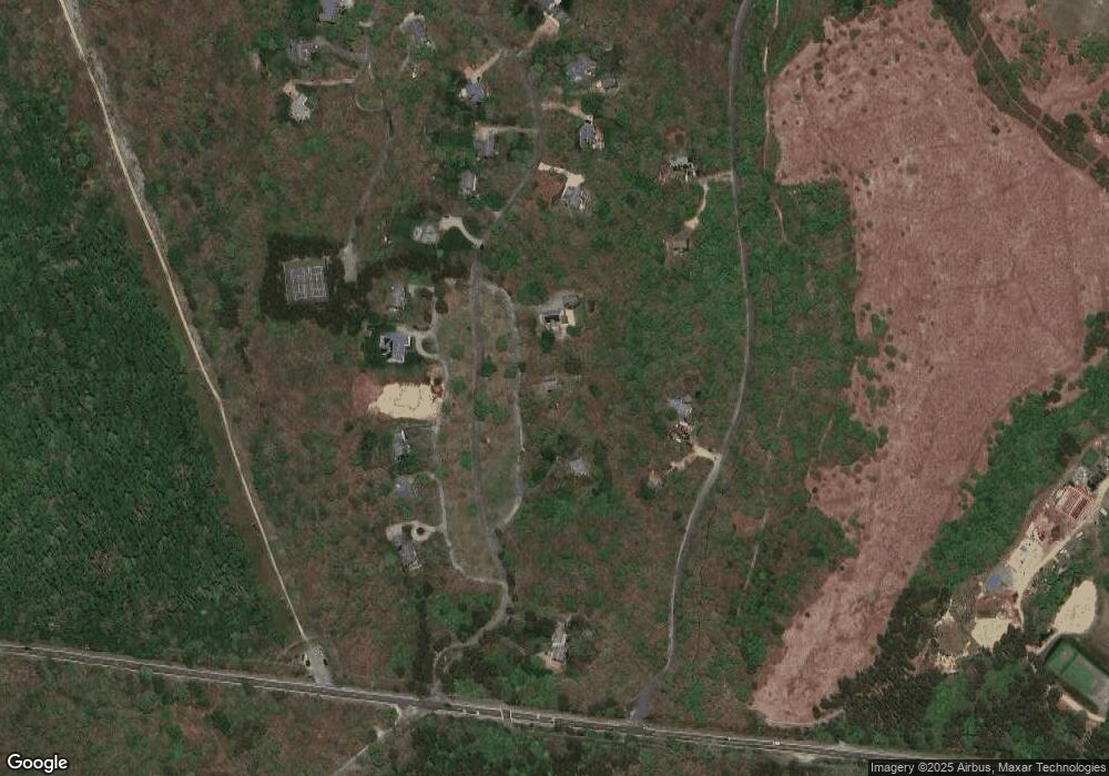
Map
Nearby Homes
- 60 Saddle Club Rd
- 5 Candle Maker Cir
- 5 Candle Maker Cir Unit 1.331
- 11 Boylston Dr Unit 1.314
- 11 Boylston Dr
- 36 Boylston Dr
- 36 Boylston Dr Unit 1.329
- 25 Boylston Dr
- 501 W Tisbury Rd Unit 2.1
- 501 W Tisbury Rd
- 2 Old Farms Trail Unit 1
- 2 Old Farms Trail
- 68 20th St S
- 357 W Tisbury Rd
- 36 Smith Hollow Dr
- 6 Janes Cove Rd
- 6 Lauras Way
- 6 Laura's Way
- 7 Meetinghouse Village Way
- 27 7th St N
- 25 Bold Meadow Rd
- 11 Bold Meadow Rd
- 35 Metcalf Dr
- 25 Metcalf Dr
- 27 Bold Meadow Rd
- 0 Bold Meadow Rd
- 20 Bold Meadow Rd
- 16 Bold Meadow Rd
- 22 Bold Meadow Rd
- 14 Bold Meadow Rd
- 45 Metcalf Dr
- 26 Bold Meadow Rd
- 29 Bold Meadow Rd
- 10 Bold Meadow Rd
- 28 Bold Meadow Rd
- 55 Metcalf Dr
- 2 Bold Meadow Rd
- 30 Bold Meadow Rd
- 31 Bold Meadow Rd
- 32 Bold Meadow Rd
Your Personal Tour Guide
Ask me questions while you tour the home.