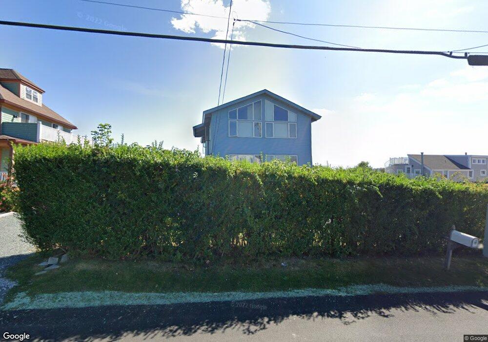
19 Briarwood Ave Middletown, RI 02842
Estimated Value: $1,884,000 - $2,361,000
7
Beds
4
Baths
3,648
Sq Ft
$587/Sq Ft
Est. Value
About This Home
This home is located at 19 Briarwood Ave, Middletown, RI 02842 and is currently estimated at $2,140,297, approximately $586 per square foot. 19 Briarwood Ave is a home located in Newport County with nearby schools including Middletown High School, St Michael's Country Day School, and St George's School.
Ownership History
Date
Name
Owned For
Owner Type
Purchase Details
Closed on
Dec 8, 2009
Sold by
Imb Reo Llc
Bought by
Donogal Property
Current Estimated Value
Purchase Details
Closed on
Sep 25, 2009
Sold by
Erfe Hilda C
Bought by
One West Bk
Purchase Details
Closed on
Oct 24, 2005
Sold by
Propert Kyriakides Res
Bought by
Erfe Vincent
Home Financials for this Owner
Home Financials are based on the most recent Mortgage that was taken out on this home.
Original Mortgage
$80,000
Interest Rate
5.72%
Mortgage Type
Purchase Money Mortgage
Create a Home Valuation Report for This Property
The Home Valuation Report is an in-depth analysis detailing your home's value as well as a comparison with similar homes in the area
Home Values in the Area
Average Home Value in this Area
Purchase History
| Date | Buyer | Sale Price | Title Company |
|---|---|---|---|
| Donogal Property | $602,000 | -- | |
| One West Bank Fsb | $617,000 | -- | |
| One West Bk | $617,000 | -- | |
| Erfe Vincent | $100,000 | -- |
Source: Public Records
Mortgage History
| Date | Status | Borrower | Loan Amount |
|---|---|---|---|
| Previous Owner | Erfe Vincent | $80,000 |
Source: Public Records
Tax History Compared to Growth
Tax History
| Year | Tax Paid | Tax Assessment Tax Assessment Total Assessment is a certain percentage of the fair market value that is determined by local assessors to be the total taxable value of land and additions on the property. | Land | Improvement |
|---|---|---|---|---|
| 2025 | $15,237 | $1,292,400 | $804,300 | $488,100 |
| 2024 | $14,552 | $1,292,400 | $804,300 | $488,100 |
| 2023 | $11,395 | $905,100 | $430,700 | $474,400 |
| 2022 | $10,879 | $905,100 | $430,700 | $474,400 |
| 2021 | $10,879 | $905,100 | $430,700 | $474,400 |
| 2020 | $10,090 | $733,300 | $288,100 | $445,200 |
| 2018 | $10,083 | $733,300 | $288,100 | $445,200 |
| 2016 | $9,556 | $619,700 | $209,800 | $409,900 |
| 2015 | $9,320 | $619,700 | $209,800 | $409,900 |
| 2014 | $10,071 | $626,700 | $173,400 | $453,300 |
| 2013 | $9,845 | $626,700 | $173,400 | $453,300 |
Source: Public Records
Map
Nearby Homes
- 84 Allston Ave
- 162 Center Ave
- 65 Seascape Ave
- 140 Tuckerman Ave
- 118 Wolcott Ave
- 4 James St
- 0 Wolcott Ave
- 129 Bliss Mine Rd
- 78 Ellery Rd
- 55 John Clarke Rd Unit 8
- 55 John Clarke Rd Unit 3
- 36 Kay Blvd
- 128 Eustis Ave
- 103 Champlin Place N
- 198 Gibbs Ave
- 8 Champlin St
- 78 Rhode Island Ave Unit 6
- 78 Rhode Island Ave Unit 8
- 138 Green End Ave
- 141 Gray Craig Rd
- 43 Crescent Rd
- 25 Briarwood Ave
- 25 Briarwood Ave Unit A-B
- 25 Briarwood Ave Unit A
- 25 Briarwood Ave Unit B
- 45 Crescent Rd
- 41 Crescent Rd
- 31 Briarwood Ave Unit 35
- 31 Briarwood Ave Unit 2
- 31 Briarwood Ave Unit 1
- 35 Briarwood Ave
- 19 Crescent Rd
- 16 Briarwood Ave
- 24 Briarwood Ave
- 25 Crescent Rd Unit 39
- 25 Crescent Rd Unit 2
- 32 Briarwood Ave
- 17 Crescent Rd
- 17 Crescent St
- 43 Briarwood Ave