19 Cindy Ln Weston, CT 06883
Estimated Value: $750,000 - $1,008,000
3
Beds
3
Baths
1,728
Sq Ft
$488/Sq Ft
Est. Value
About This Home
This home is located at 19 Cindy Ln, Weston, CT 06883 and is currently estimated at $842,832, approximately $487 per square foot. 19 Cindy Ln is a home located in Fairfield County with nearby schools including Hurlbutt Elementary School, Weston Intermediate School, and Weston Middle School.
Ownership History
Date
Name
Owned For
Owner Type
Purchase Details
Closed on
Jun 30, 1998
Sold by
Church Richard and Church Robin
Bought by
Bucca John and Bucca Jackie
Current Estimated Value
Purchase Details
Closed on
Oct 21, 1994
Sold by
Parini Arlette
Bought by
Church Richard and Church Robin
Create a Home Valuation Report for This Property
The Home Valuation Report is an in-depth analysis detailing your home's value as well as a comparison with similar homes in the area
Home Values in the Area
Average Home Value in this Area
Purchase History
| Date | Buyer | Sale Price | Title Company |
|---|---|---|---|
| Bucca John | $322,500 | -- | |
| Church Richard | $296,500 | -- |
Source: Public Records
Mortgage History
| Date | Status | Borrower | Loan Amount |
|---|---|---|---|
| Open | Church Richard | $100,000 | |
| Open | Church Richard | $185,700 |
Source: Public Records
Tax History Compared to Growth
Tax History
| Year | Tax Paid | Tax Assessment Tax Assessment Total Assessment is a certain percentage of the fair market value that is determined by local assessors to be the total taxable value of land and additions on the property. | Land | Improvement |
|---|---|---|---|---|
| 2025 | $10,923 | $457,030 | $190,680 | $266,350 |
| 2024 | $10,726 | $457,030 | $190,680 | $266,350 |
| 2023 | $10,907 | $329,920 | $190,680 | $139,240 |
| 2022 | $10,877 | $329,920 | $190,680 | $139,240 |
| 2021 | $10,861 | $329,920 | $190,680 | $139,240 |
| 2020 | $10,680 | $329,920 | $190,680 | $139,240 |
| 2019 | $10,680 | $329,920 | $190,680 | $139,240 |
| 2018 | $9,907 | $337,100 | $211,700 | $125,400 |
| 2017 | $9,746 | $337,100 | $211,700 | $125,400 |
| 2016 | $9,628 | $337,100 | $211,700 | $125,400 |
| 2015 | $9,695 | $337,100 | $211,700 | $125,400 |
| 2014 | $9,520 | $337,100 | $211,700 | $125,400 |
Source: Public Records
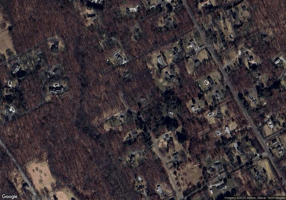
Map
Nearby Homes
- 15 Mountain View Dr
- 38 Honey Hill Rd
- 4 Trails End Rd
- 14 Langner Ln
- 28 Old Orchard Dr
- 290 Newtown Turnpike
- 475 Danbury Rd
- 146 Scribner Hill Rd
- 00 Old Mill Rd
- 20 Georgetown Rd
- 0 Old Mill Rd
- 41 Calvin Rd
- 27 Rogues Ridge
- 76 Lords Hwy
- 175 Mountain Rd
- 55 Liberty St
- 0 Mountain Rd
- 76 Sturges Ridge Rd
- 64 Portland Ave
- 66 Portland Ave
- 20 Cindy Ln
- 15 Cindy Ln
- 25 Cindy Ln
- 16 Cindy Ln
- 205 Georgetown Rd
- 203 Georgetown Rd
- 11 Cindy Ln
- 195 Georgetown Rd
- 213 Georgetown Rd
- 201 Georgetown Rd
- 12 Cindy Ln
- 7 Cindy Ln
- 191 Georgetown Rd
- 193 Georgetown Rd
- 215 Georgetown Rd
- 207 Georgetown Rd
- 189 Georgetown Rd
- 211 Georgetown Rd
- 2 Cindy Ln
- 27 Wampum Hill Rd