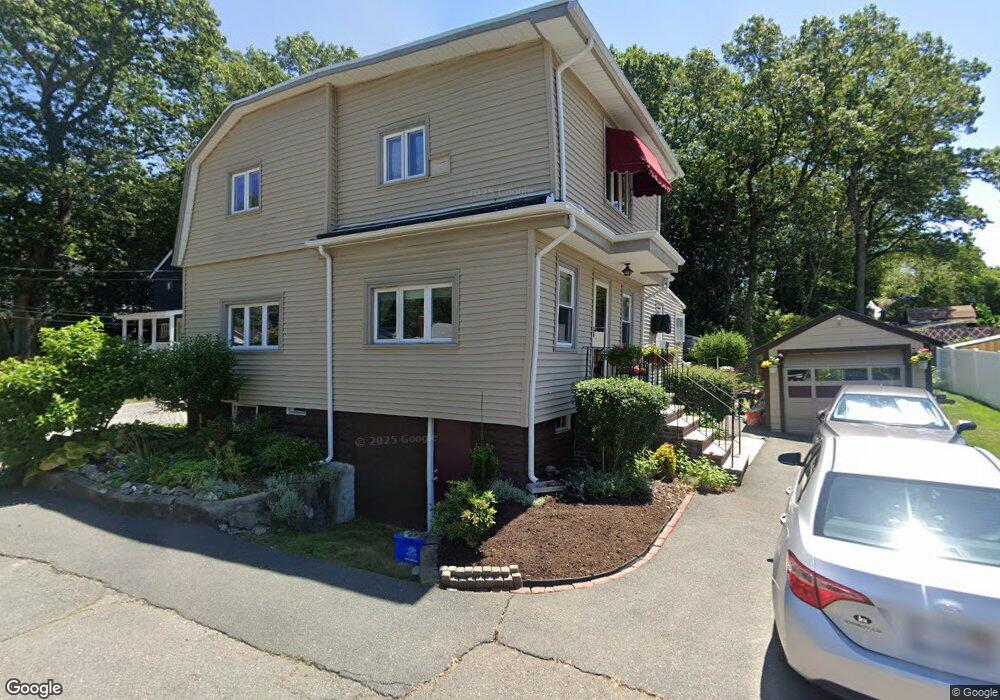
19 Clark St Saugus, MA 01906
Lynnhurst NeighborhoodEstimated Value: $567,000 - $662,000
2
Beds
2
Baths
1,687
Sq Ft
$362/Sq Ft
Est. Value
About This Home
This home is located at 19 Clark St, Saugus, MA 01906 and is currently estimated at $611,260, approximately $362 per square foot. 19 Clark St is a home located in Essex County with nearby schools including Saugus High School, Pioneer Charter School Of Science II, and Sacred Heart School.
Create a Home Valuation Report for This Property
The Home Valuation Report is an in-depth analysis detailing your home's value as well as a comparison with similar homes in the area
Home Values in the Area
Average Home Value in this Area
Tax History
| Year | Tax Paid | Tax Assessment Tax Assessment Total Assessment is a certain percentage of the fair market value that is determined by local assessors to be the total taxable value of land and additions on the property. | Land | Improvement |
|---|---|---|---|---|
| 2025 | $5,711 | $534,700 | $302,300 | $232,400 |
| 2024 | $5,567 | $522,700 | $294,100 | $228,600 |
| 2023 | $5,423 | $481,600 | $257,400 | $224,200 |
| 2022 | $5,407 | $450,200 | $239,400 | $210,800 |
| 2021 | $4,950 | $401,100 | $198,500 | $202,600 |
| 2020 | $4,575 | $383,800 | $188,700 | $195,100 |
| 2019 | $4,240 | $348,100 | $179,700 | $168,400 |
| 2018 | $3,827 | $330,500 | $171,600 | $158,900 |
| 2017 | $3,838 | $318,500 | $163,400 | $155,100 |
| 2016 | $3,346 | $274,300 | $155,200 | $119,100 |
| 2015 | $3,138 | $261,100 | $147,800 | $113,300 |
| 2014 | $3,175 | $273,500 | $147,800 | $125,700 |
Source: Public Records
Map
Nearby Homes
- 52 Hesper St
- 24 Palmetto St
- 4 Oneil Way
- 36 Jasper St
- 25 Auburn St
- 62 Main St
- 187 Hamilton St
- 7 Nirvana Dr
- 1 Rhodes St
- 29 Susan Dr
- 7 Central St
- 7 Adams Ave
- 846 Broadway Unit 40
- 23 Orchard Ave
- 57 Vine St
- 32 Birch Brook Landing Unit 25
- 32 Birch Brook Landing Unit 22
- 32 Birch Brook Rd Unit 13
- 32 Birch Brook Rd Unit 27
- 32 Birch Brook Rd Unit 26
Your Personal Tour Guide
Ask me questions while you tour the home.