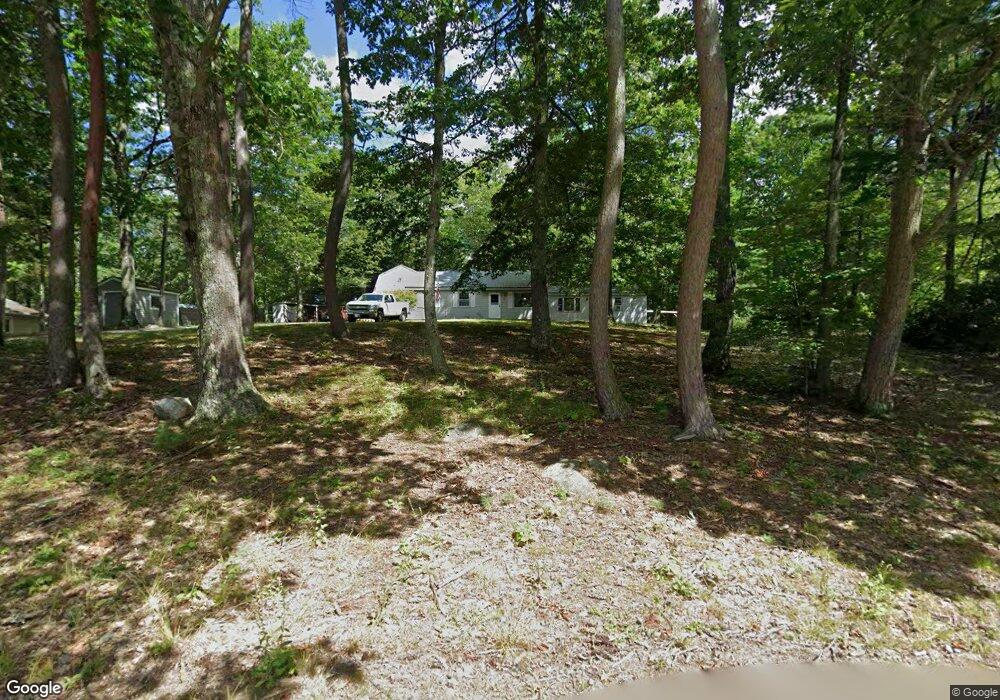
19 Contoocook Ave Jaffrey, NH 03452
Estimated Value: $329,734 - $407,000
4
Beds
1
Bath
1,389
Sq Ft
$270/Sq Ft
Est. Value
About This Home
This home is located at 19 Contoocook Ave, Jaffrey, NH 03452 and is currently estimated at $374,434, approximately $269 per square foot. 19 Contoocook Ave is a home located in Cheshire County with nearby schools including Jaffrey Grade School, Conant Middle High School, and Conant High School.
Ownership History
Date
Name
Owned For
Owner Type
Purchase Details
Closed on
Jun 22, 2005
Sold by
Brooks Margaret K
Bought by
Caron Peter J
Current Estimated Value
Home Financials for this Owner
Home Financials are based on the most recent Mortgage that was taken out on this home.
Original Mortgage
$137,700
Interest Rate
5.82%
Mortgage Type
Purchase Money Mortgage
Create a Home Valuation Report for This Property
The Home Valuation Report is an in-depth analysis detailing your home's value as well as a comparison with similar homes in the area
Home Values in the Area
Average Home Value in this Area
Purchase History
| Date | Buyer | Sale Price | Title Company |
|---|---|---|---|
| Caron Peter J | $135,000 | -- |
Source: Public Records
Mortgage History
| Date | Status | Borrower | Loan Amount |
|---|---|---|---|
| Open | Caron Peter J | $118,800 | |
| Closed | Caron Peter J | $137,700 |
Source: Public Records
Tax History Compared to Growth
Tax History
| Year | Tax Paid | Tax Assessment Tax Assessment Total Assessment is a certain percentage of the fair market value that is determined by local assessors to be the total taxable value of land and additions on the property. | Land | Improvement |
|---|---|---|---|---|
| 2024 | $5,838 | $178,000 | $46,500 | $131,500 |
| 2023 | $5,936 | $178,000 | $46,500 | $131,500 |
| 2022 | $5,549 | $179,100 | $46,500 | $132,600 |
| 2021 | $4,995 | $179,100 | $46,500 | $132,600 |
| 2020 | $4,931 | $179,100 | $46,500 | $132,600 |
| 2019 | $4,660 | $133,800 | $37,200 | $96,600 |
| 2018 | $4,415 | $133,800 | $37,200 | $96,600 |
| 2017 | $4,411 | $133,800 | $37,200 | $96,600 |
| 2016 | $4,415 | $133,800 | $37,200 | $96,600 |
| 2015 | $4,445 | $133,800 | $37,200 | $96,600 |
| 2014 | $4,392 | $149,120 | $47,097 | $102,023 |
| 2013 | $4,325 | $148,640 | $47,097 | $101,543 |
Source: Public Records
Map
Nearby Homes
- 33 Contoocook Ave
- 5 Contoocook Ave
- 9 Contoocook Ave
- 22 Contoocook Ave
- 26 Contoocook Ave
- 18 Contoocook Ave
- 30 Contoocook Ave
- 14 Contoocook Ave
- 43 Hunt Rd
- 32 Contoocook Ave
- 8 Contoocook Ave
- 10 Contoocook Ave
- 22 Hunt Rd
- 153 Squantum Rd
- 159 Squantum Rd
- 12 Hunt Rd
- 139 Squantum Rd
- 241 Squantum Rd
- 133 Squantum Rd
- 180 Squantum Rd