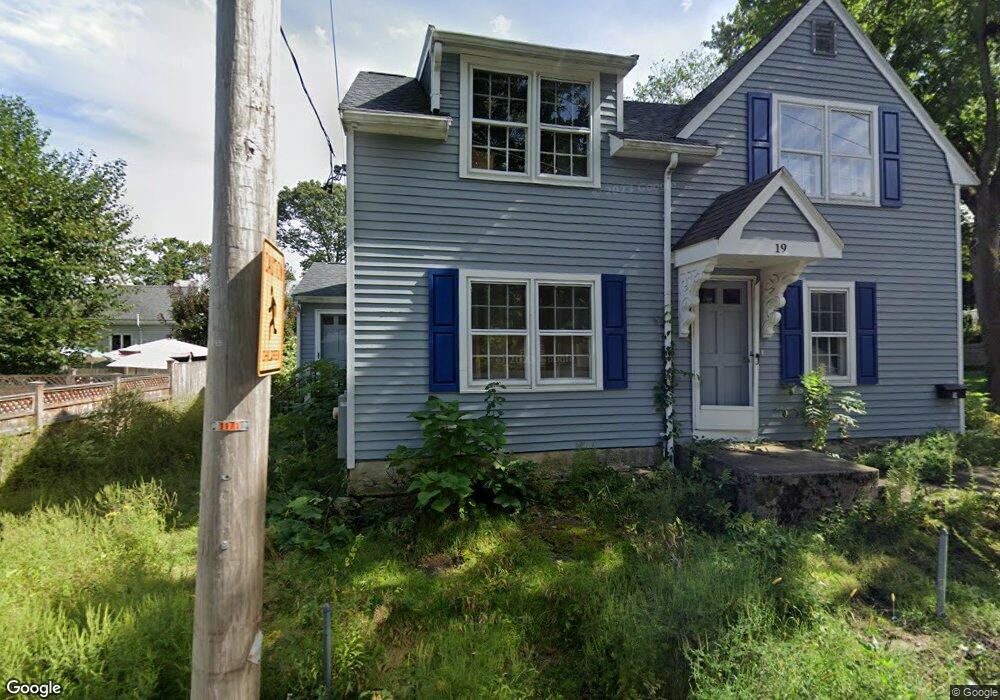
19 Crane St Canton, MA 02021
Estimated Value: $660,000 - $790,000
3
Beds
2
Baths
1,726
Sq Ft
$420/Sq Ft
Est. Value
About This Home
This home is located at 19 Crane St, Canton, MA 02021 and is currently estimated at $724,754, approximately $419 per square foot. 19 Crane St is a home located in Norfolk County with nearby schools including Canton High School, St. John the Evangelist School, and Chabad Day School of School.
Ownership History
Date
Name
Owned For
Owner Type
Purchase Details
Closed on
Jun 14, 2024
Sold by
Monnie Kauffold Ret and Maloney
Bought by
Maloney Patrick J
Current Estimated Value
Purchase Details
Closed on
Apr 29, 2016
Sold by
Kauffold Monnie D
Bought by
Monnie Kauffold Ret
Purchase Details
Closed on
Nov 4, 1991
Sold by
Mcdermott Grace V and Mcdermott Frances A
Bought by
Karal Rt
Create a Home Valuation Report for This Property
The Home Valuation Report is an in-depth analysis detailing your home's value as well as a comparison with similar homes in the area
Home Values in the Area
Average Home Value in this Area
Purchase History
| Date | Buyer | Sale Price | Title Company |
|---|---|---|---|
| Maloney Patrick J | -- | None Available | |
| Maloney Patrick J | -- | None Available | |
| Monnie Kauffold Ret | -- | -- | |
| Monnie Kauffold Ret | -- | -- | |
| Karal Rt | $90,000 | -- |
Source: Public Records
Mortgage History
| Date | Status | Borrower | Loan Amount |
|---|---|---|---|
| Previous Owner | Karal Rt | $265,000 | |
| Previous Owner | Karal Rt | $70,885 | |
| Previous Owner | Karal Rt | $50,000 |
Source: Public Records
Tax History Compared to Growth
Tax History
| Year | Tax Paid | Tax Assessment Tax Assessment Total Assessment is a certain percentage of the fair market value that is determined by local assessors to be the total taxable value of land and additions on the property. | Land | Improvement |
|---|---|---|---|---|
| 2025 | $6,536 | $660,900 | $292,100 | $368,800 |
| 2024 | $6,338 | $635,700 | $280,900 | $354,800 |
| 2023 | $6,153 | $582,100 | $280,900 | $301,200 |
| 2022 | $5,576 | $491,300 | $267,500 | $223,800 |
| 2021 | $5,430 | $445,100 | $243,200 | $201,900 |
| 2020 | $4,902 | $400,800 | $208,400 | $192,400 |
| 2019 | $4,796 | $386,800 | $189,400 | $197,400 |
| 2018 | $4,621 | $372,100 | $182,200 | $189,900 |
| 2017 | $4,414 | $345,100 | $158,800 | $186,300 |
| 2016 | $4,308 | $336,800 | $154,900 | $181,900 |
| 2015 | $4,173 | $325,500 | $150,400 | $175,100 |
Source: Public Records
Map
Nearby Homes
- 80 Walnut St Unit 405
- 4 Forge Pond Unit E
- 651 Washington St
- 21 Wall St Unit D
- 17 Neponset St Unit A
- 19 Walnut Knolls
- 717 Washington St Unit G
- 83 Neponset St Unit 83
- 85 Neponset St Unit 85
- 16 Danforth St
- 12 Concord Ave
- 60 Coppersmith Way Unit 208
- 71 High St
- 185 Bailey St
- 814 Washington St
- 25 Norfolk St
- 62 Maple St Unit J
- 15 Audubon Way Unit 15
- 189 Bailey St
- 20 Audubon Way Unit 109
- 115 Bolivar St
- 107 Bolivar St
- 123 Bolivar St
- 114 Mechanic St
- 122 Mechanic St
- 12 Crane St
- 99 Bolivar St
- 99 Bolivar St Unit 1
- 130 Mechanic St
- 101 Bolivar St Unit 1
- 102 Mechanic St
- 135 Bolivar St
- 135 Bolivar St Unit 1
- 110 Bolivar St
- 102 Bolivar St
- 98 Mechanic St
- 94 Bolivar St Unit 96
- 85 Bolivar St
- 96 Bolivar St
- 116 Bolivar St