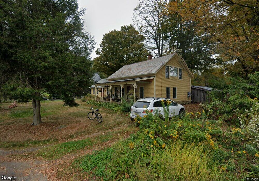
19 Depot Rd Shelburne Falls, MA 01370
Buckland NeighborhoodEstimated Value: $555,000 - $611,925
4
Beds
3
Baths
2,771
Sq Ft
$209/Sq Ft
Est. Value
About This Home
This home is located at 19 Depot Rd, Shelburne Falls, MA 01370 and is currently estimated at $578,308, approximately $208 per square foot. 19 Depot Rd is a home with nearby schools including Mohawk Trail Regional High School.
Ownership History
Date
Name
Owned For
Owner Type
Purchase Details
Closed on
Oct 30, 1996
Sold by
Mayer Elsie G
Bought by
Hoberman Michael B and Sorensen Janice E
Current Estimated Value
Home Financials for this Owner
Home Financials are based on the most recent Mortgage that was taken out on this home.
Original Mortgage
$96,000
Interest Rate
8.07%
Mortgage Type
Purchase Money Mortgage
Create a Home Valuation Report for This Property
The Home Valuation Report is an in-depth analysis detailing your home's value as well as a comparison with similar homes in the area
Home Values in the Area
Average Home Value in this Area
Purchase History
| Date | Buyer | Sale Price | Title Company |
|---|---|---|---|
| Hoberman Michael B | $125,000 | -- |
Source: Public Records
Mortgage History
| Date | Status | Borrower | Loan Amount |
|---|---|---|---|
| Open | Hoberman Michael B | $85,400 | |
| Closed | Hoberman Michael B | $19,500 | |
| Closed | Hoberman Michael B | $96,000 |
Source: Public Records
Tax History Compared to Growth
Tax History
| Year | Tax Paid | Tax Assessment Tax Assessment Total Assessment is a certain percentage of the fair market value that is determined by local assessors to be the total taxable value of land and additions on the property. | Land | Improvement |
|---|---|---|---|---|
| 2025 | $8,894 | $525,000 | $63,400 | $461,600 |
| 2024 | $8,729 | $497,100 | $63,400 | $433,700 |
| 2023 | $7,318 | $432,000 | $63,400 | $368,600 |
| 2022 | $7,249 | $432,000 | $63,400 | $368,600 |
| 2021 | $6,956 | $389,900 | $63,400 | $326,500 |
| 2020 | $4,912 | $265,200 | $63,400 | $201,800 |
| 2019 | $4,618 | $247,900 | $63,400 | $184,500 |
| 2018 | $4,507 | $239,100 | $63,400 | $175,700 |
| 2017 | $4,316 | $239,100 | $63,400 | $175,700 |
| 2016 | $3,899 | $230,700 | $63,400 | $167,300 |
| 2015 | $3,842 | $228,700 | $63,400 | $165,300 |
Source: Public Records
Map
Nearby Homes
- 31 W Oxbow Rd
- 2151 Route 2
- 2155 Massachusetts 2
- 24 W Oxbow Rd
- 156 Ashfield Rd
- 0 W Oxbow Rd Unit 73453651
- 7 Hog Hollow Rd
- 33 Williams St
- 10 Deerfield Ave Unit 5
- 10 Deerfield Ave Unit 2
- 105 - 107 Bridge St
- 0 Upper St
- 143 Charlemont Rd
- 102 Elm St
- 0 Ashfield Rd
- 32 Navaho Ln
- 139 Taylor Brook Rd
- 3+5 Church St
- 14 South Rd
- 6 Chippewa Dr
- 5 Dunbar Rd
- 70 Ashfield Rd
- 18 Purinton Rd
- 26 Depot Rd
- 20 Purinton Rd
- 21 Purinton Rd
- 16 Purinton Rd
- 27 Purinton Rd
- 17 Purinton Rd
- 19 Depot Rd
- 6 Depot Rd
- 15 Purinton Rd
- 13 Purinton Rd
- 33 Purinton Rd
- 4 Depot Rd
- 0 Nelson Purinton Rd Unit 30071042
- 80 Ashfield Rd
- 78 Ashfield Rd
- 76 Ashfield Rd
- 1945 Route 2