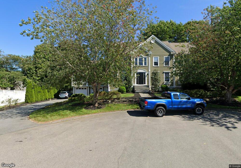
19 Fielding Ln Hampton, NH 03842
Estimated Value: $1,252,000 - $1,543,000
4
Beds
5
Baths
4,837
Sq Ft
$288/Sq Ft
Est. Value
About This Home
This home is located at 19 Fielding Ln, Hampton, NH 03842 and is currently estimated at $1,393,430, approximately $288 per square foot. 19 Fielding Ln is a home located in Rockingham County with nearby schools including Hampton Centre School, Adeline C. Marston Elementary School, and Hampton Academy.
Ownership History
Date
Name
Owned For
Owner Type
Purchase Details
Closed on
Oct 27, 2020
Sold by
Journeay Kris A and Journeay Arnold
Bought by
A K Journeay Ret
Current Estimated Value
Purchase Details
Closed on
Sep 22, 2008
Sold by
Relo Direct Inc
Bought by
Seringa Kris and Journeay Arnold
Purchase Details
Closed on
Sep 1, 1999
Sold by
Green & Co Bldg & Dev
Bought by
Rix Noel M and Rix Lori L
Create a Home Valuation Report for This Property
The Home Valuation Report is an in-depth analysis detailing your home's value as well as a comparison with similar homes in the area
Home Values in the Area
Average Home Value in this Area
Purchase History
| Date | Buyer | Sale Price | Title Company |
|---|---|---|---|
| A K Journeay Ret | -- | None Available | |
| Seringa Kris | $643,000 | -- | |
| Relo Direct Inc | $643,000 | -- | |
| Rix Noel M | $358,400 | -- | |
| Green & Co Bldg & Dev | $50,000 | -- |
Source: Public Records
Mortgage History
| Date | Status | Borrower | Loan Amount |
|---|---|---|---|
| Previous Owner | Green & Co Bldg & Dev | $100,000 | |
| Previous Owner | Green & Co Bldg & Dev | $366,721 | |
| Previous Owner | Green & Co Bldg & Dev | $417,000 |
Source: Public Records
Tax History
| Year | Tax Paid | Tax Assessment Tax Assessment Total Assessment is a certain percentage of the fair market value that is determined by local assessors to be the total taxable value of land and additions on the property. | Land | Improvement |
|---|---|---|---|---|
| 2025 | $13,141 | $1,066,600 | $266,300 | $800,300 |
| 2024 | $13,141 | $1,066,600 | $266,300 | $800,300 |
| 2023 | $12,013 | $717,200 | $177,600 | $539,600 |
| 2022 | $11,360 | $717,200 | $177,600 | $539,600 |
| 2021 | $11,360 | $717,200 | $177,600 | $539,600 |
| 2020 | $11,419 | $716,800 | $177,600 | $539,200 |
| 2019 | $11,476 | $716,800 | $177,600 | $539,200 |
Source: Public Records
Map
Nearby Homes
- 2 Hilliard Dr
- 8 Dunvegan Woods
- 29 Thorwald Ave
- 415 High St Unit 3
- 515 Winnacunnet Rd Unit 6
- 68 Kings Hwy Unit 27
- 11 Redman St
- 7 Redman St
- 467 High St Unit 10
- 10 Mcdermott Rd
- 745 Ocean Blvd
- 567 Ocean Blvd Unit 104
- 89 Winnacunnet Rd Unit 6
- 415 Ocean Blvd Unit 3E
- 407 Ocean Blvd Unit B11
- 407 Ocean Blvd Unit A5
- 190 Kings Hwy Unit A1
- 377 Ocean Blvd Unit 16
- 449 Ocean Blvd Unit 306
- 465 Ocean Blvd Unit 502
- 19 Presidential Cir
- 23 Fielding Ln
- 15 Presidential Cir
- 23 Presidential Cir
- 15 Fielding Ln
- 11 Presidential Cir
- 27 Presidential Cir
- 1 Verne Rd
- 7 Presidential Cir
- 1 Verne Rd
- 16 Fielding Ln
- 11 Fielding Ln
- 20 Presidential Cir
- 16 Presidential Cir
- 31 Presidential Cir
- 24 Presidential Cir
- 12 Presidential Cir
- 5 Presidential Cir
- 9 Fielding Ln
- 12 Fielding Ln
Your Personal Tour Guide
Ask me questions while you tour the home.