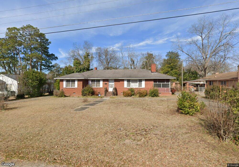
19 Jenkins St Sumter, SC 29150
Birnie NeighborhoodEstimated Value: $105,000 - $207,000
3
Beds
2
Baths
1,589
Sq Ft
$92/Sq Ft
Est. Value
About This Home
This home is located at 19 Jenkins St, Sumter, SC 29150 and is currently estimated at $145,431, approximately $91 per square foot. 19 Jenkins St is a home located in Sumter County with nearby schools including Alice Drive Elementary School, Alice Drive Middle School, and Sumter High School.
Ownership History
Date
Name
Owned For
Owner Type
Purchase Details
Closed on
Aug 14, 2014
Sold by
Johnson Ella and Nelson Ella B
Bought by
Nelson John C and Estate Of Lillie B Nelson
Current Estimated Value
Purchase Details
Closed on
Nov 29, 2012
Sold by
Estate Of Lillie B Nelson
Bought by
Taylor Marward O Sullivan
Home Financials for this Owner
Home Financials are based on the most recent Mortgage that was taken out on this home.
Original Mortgage
$55,250
Interest Rate
4.2%
Mortgage Type
New Conventional
Create a Home Valuation Report for This Property
The Home Valuation Report is an in-depth analysis detailing your home's value as well as a comparison with similar homes in the area
Home Values in the Area
Average Home Value in this Area
Purchase History
| Date | Buyer | Sale Price | Title Company |
|---|---|---|---|
| Nelson John C | -- | -- | |
| Taylor Marward O Sullivan | $65,000 | -- |
Source: Public Records
Mortgage History
| Date | Status | Borrower | Loan Amount |
|---|---|---|---|
| Previous Owner | Taylor Marward O Sullivan | $55,250 |
Source: Public Records
Tax History
| Year | Tax Paid | Tax Assessment Tax Assessment Total Assessment is a certain percentage of the fair market value that is determined by local assessors to be the total taxable value of land and additions on the property. | Land | Improvement |
|---|---|---|---|---|
| 2025 | $1,964 | $5,130 | $310 | $4,820 |
| 2024 | $1,964 | $5,130 | $310 | $4,820 |
| 2023 | $1,964 | $5,130 | $310 | $4,820 |
| 2022 | $1,948 | $5,130 | $310 | $4,820 |
| 2021 | $1,825 | $5,130 | $310 | $4,820 |
| 2020 | $1,825 | $4,670 | $310 | $4,360 |
| 2019 | $1,816 | $4,670 | $310 | $4,360 |
| 2018 | $1,824 | $4,670 | $310 | $4,360 |
| 2017 | $1,835 | $4,670 | $310 | $4,360 |
| 2016 | $1,812 | $4,670 | $310 | $4,360 |
| 2015 | $1,884 | $4,740 | $310 | $4,430 |
| 2014 | $1,884 | $4,950 | $390 | $4,560 |
| 2013 | -- | $4,950 | $390 | $4,560 |
Source: Public Records
Map
Nearby Homes
- 525 Dingle St
- 527 Dingle St
- 533 Dingle St
- 126 Carver St
- 312 Council St
- 32 S Blanding St
- 407 W Bartlette St
- 23 S Walker Ave
- 343 W Liberty St
- 9 Maney St
- 404 W Hampton Ave
- 109 Dugan St
- 338 Ben St
- 321 W Hampton Ave
- 17 Sam Smith St
- 118 Mcqueen St
- 757 Maney St
- 125 Church St
- 2355 Daylilly St Unit Lot 142
- 2380 Sibley St
Your Personal Tour Guide
Ask me questions while you tour the home.