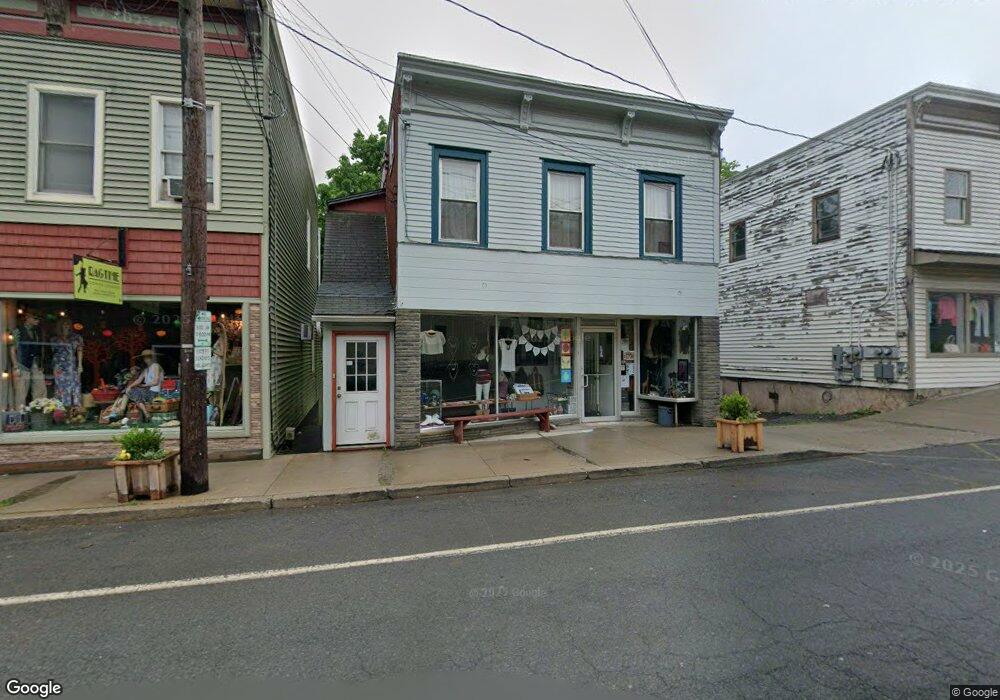
19 Lower Main St Callicoon, NY 12723
Estimated Value: $587,620
--
Bed
--
Bath
2,474
Sq Ft
$238/Sq Ft
Est. Value
About This Home
This home is located at 19 Lower Main St, Callicoon, NY 12723 and is currently estimated at $587,620, approximately $237 per square foot. 19 Lower Main St is a home located in Sullivan County with nearby schools including Sullivan West Elementary School and Sullivan West High School at Lake Huntington.
Ownership History
Date
Name
Owned For
Owner Type
Purchase Details
Closed on
Apr 29, 2022
Sold by
Raleigh Real Estate Llc
Bought by
Cooks Brk Prop Llc
Current Estimated Value
Home Financials for this Owner
Home Financials are based on the most recent Mortgage that was taken out on this home.
Original Mortgage
$318,500
Outstanding Balance
$302,158
Interest Rate
5.1%
Mortgage Type
Purchase Money Mortgage
Estimated Equity
$285,462
Purchase Details
Closed on
Mar 28, 2003
Sold by
Phillips John Rand
Bought by
Dominiques On Main Street Llc
Purchase Details
Closed on
Oct 3, 1996
Sold by
Fink Kathleen
Bought by
Phillips John R and Phillips Marilyn J
Create a Home Valuation Report for This Property
The Home Valuation Report is an in-depth analysis detailing your home's value as well as a comparison with similar homes in the area
Home Values in the Area
Average Home Value in this Area
Purchase History
| Date | Buyer | Sale Price | Title Company |
|---|---|---|---|
| Cooks Brk Prop Llc | $423,000 | None Available | |
| Dominiques On Main Street Llc | $215,000 | Jay Zeiger | |
| Phillips John R | $100,000 | -- |
Source: Public Records
Mortgage History
| Date | Status | Borrower | Loan Amount |
|---|---|---|---|
| Open | Cooks Brk Prop Llc | $318,500 |
Source: Public Records
Tax History Compared to Growth
Tax History
| Year | Tax Paid | Tax Assessment Tax Assessment Total Assessment is a certain percentage of the fair market value that is determined by local assessors to be the total taxable value of land and additions on the property. | Land | Improvement |
|---|---|---|---|---|
| 2024 | $8,008 | $200,500 | $22,500 | $178,000 |
| 2023 | $8,045 | $200,500 | $22,500 | $178,000 |
| 2022 | $8,123 | $200,500 | $22,500 | $178,000 |
| 2021 | $7,798 | $200,500 | $22,500 | $178,000 |
| 2020 | $7,721 | $200,500 | $22,500 | $178,000 |
| 2019 | $7,581 | $200,500 | $22,500 | $178,000 |
| 2018 | $7,641 | $200,500 | $22,500 | $178,000 |
| 2017 | $7,581 | $200,500 | $22,500 | $178,000 |
| 2016 | $4,183 | $97,200 | $22,500 | $74,700 |
| 2015 | -- | $168,000 | $22,000 | $146,000 |
| 2014 | -- | $168,000 | $22,000 | $146,000 |
Source: Public Records
Map
Nearby Homes
- 12 Highview Ave
- 21 Mitchell Ave
- 48 Upper Main St
- 55 Upper Main St
- 2585 River Rd
- 2547 River Rd
- 9478 State Route 97
- 118 Froehlich Dr
- 9568 State Route 97
- 33 Syloro Ln
- 4261 State Route 17b
- 4260 State Route 17b
- 000 Kautz Rd
- 215 Kautz Rd
- Lot 7 Long Farm Way
- 168 Cr 94
- Lot 3 Long Farm Way
- 136 Kautz Rd
- Lot 23 Serenity Dr
- 80 Overlook Dr
- 25 Lower Main St
- 22 Lower Main St
- 27 Lower Main St
- 33 Lower Main St
- 25 Mitchell Ave
- 31 Mitchell Ave
- 11 Highview Ave
- 12 Seminary Rd
- 00 Mitchell Pond E
- 9 Upper Main St
- 7 Highview Ave
- 41 Lower Main St
- 43 Lower Main St
- 72 Main Street 1
- 72 Main Street 2
- 22 Upper Main St
- 12 Mitchell Ave
- 4 Highview Ave
- 9283 State Route 97
- 9291 State Route 97