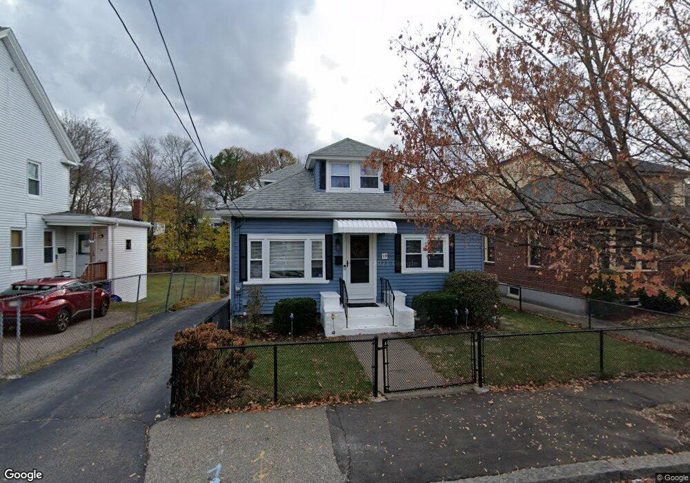
19 Main St Quincy, MA 02169
Quincy Point NeighborhoodEstimated Value: $621,000 - $735,000
3
Beds
2
Baths
1,418
Sq Ft
$474/Sq Ft
Est. Value
About This Home
This home is located at 19 Main St, Quincy, MA 02169 and is currently estimated at $672,411, approximately $474 per square foot. 19 Main St is a home located in Norfolk County with nearby schools including Point Webster Middle School, Clifford H. Marshall Elementary School, and Quincy High School.
Ownership History
Date
Name
Owned For
Owner Type
Purchase Details
Closed on
Sep 13, 2024
Sold by
Page Lynda J
Bought by
Lynda J Page Ft and Page
Current Estimated Value
Purchase Details
Closed on
Sep 17, 1999
Sold by
Meherson Rt
Bought by
Page Robert W and Page Lynda J
Home Financials for this Owner
Home Financials are based on the most recent Mortgage that was taken out on this home.
Original Mortgage
$176,700
Interest Rate
7.83%
Mortgage Type
Purchase Money Mortgage
Create a Home Valuation Report for This Property
The Home Valuation Report is an in-depth analysis detailing your home's value as well as a comparison with similar homes in the area
Home Values in the Area
Average Home Value in this Area
Purchase History
| Date | Buyer | Sale Price | Title Company |
|---|---|---|---|
| Lynda J Page Ft | -- | None Available | |
| Lynda J Page Ft | -- | None Available | |
| Page Robert W | $186,000 | -- |
Source: Public Records
Mortgage History
| Date | Status | Borrower | Loan Amount |
|---|---|---|---|
| Previous Owner | Page Robert W | $178,000 | |
| Previous Owner | Page Robert W | $176,700 | |
| Previous Owner | Page Robert W | $139,000 |
Source: Public Records
Tax History Compared to Growth
Tax History
| Year | Tax Paid | Tax Assessment Tax Assessment Total Assessment is a certain percentage of the fair market value that is determined by local assessors to be the total taxable value of land and additions on the property. | Land | Improvement |
|---|---|---|---|---|
| 2025 | $6,131 | $531,700 | $298,900 | $232,800 |
| 2024 | $5,743 | $509,600 | $284,600 | $225,000 |
| 2023 | $5,410 | $486,100 | $258,800 | $227,300 |
| 2022 | $5,458 | $455,600 | $235,300 | $220,300 |
| 2021 | $5,378 | $443,000 | $235,300 | $207,700 |
| 2020 | $5,116 | $411,600 | $222,000 | $189,600 |
| 2019 | $4,800 | $382,500 | $205,500 | $177,000 |
| 2018 | $4,628 | $346,900 | $186,800 | $160,100 |
| 2017 | $4,523 | $319,200 | $178,000 | $141,200 |
| 2016 | $4,235 | $294,900 | $161,800 | $133,100 |
| 2015 | $3,973 | $272,100 | $152,600 | $119,500 |
| 2014 | $3,898 | $262,300 | $152,600 | $109,700 |
Source: Public Records
Map
Nearby Homes
- 187 Washington St
- 35 Miller Stile Rd
- 16 Dartmouth St Unit 16
- 32 Sumner St
- 33 Elm St
- 313 Washington St
- 51 Sumner St
- 106 Washington St Unit 45
- 66 Mcgrath Hwy Unit 407
- 66 Mcgrath Hwy Unit 405
- 66 Mcgrath Hwy Unit 308
- 66 Mcgrath Hwy Unit 303
- 66 Mcgrath Hwy Unit 508
- 19 Keyes St
- 2 Cliveden St Unit 601E
- 2 Cliveden St Unit 405E
- 59 Spear St Unit 302
- 59 Spear St Unit 301
- 59 Spear St Unit 202
- 18 Cliveden St Unit 406W