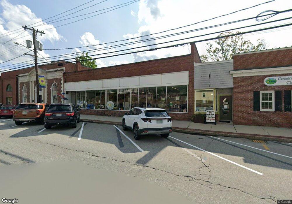
19 Main St Wilton, NH 03086
Estimated Value: $1,720,586
Studio
1
Bath
493
Sq Ft
$3,490/Sq Ft
Est. Value
About This Home
This home is located at 19 Main St, Wilton, NH 03086 and is currently estimated at $1,720,586, approximately $3,490 per square foot. 19 Main St is a home located in Hillsborough County with nearby schools including Florence Rideout Elementary School, Wilton-Lyndeborough Cooperative Middle School, and Wilton-Lyndeborough Cooperative High School.
Ownership History
Date
Name
Owned For
Owner Type
Purchase Details
Closed on
Jul 24, 2006
Sold by
Dunlap William H and Dunlap Susan Y
Bought by
Tibbetts Peter H and Tibbetts Fiona
Current Estimated Value
Home Financials for this Owner
Home Financials are based on the most recent Mortgage that was taken out on this home.
Original Mortgage
$712,000
Outstanding Balance
$414,177
Interest Rate
6.67%
Mortgage Type
Commercial
Estimated Equity
$1,306,409
Purchase Details
Closed on
Oct 30, 2000
Sold by
Harwood Chester E and Harwood Evelyn M
Bought by
Byam Kathryn Rockwoo
Create a Home Valuation Report for This Property
The Home Valuation Report is an in-depth analysis detailing your home's value as well as a comparison with similar homes in the area
Home Values in the Area
Average Home Value in this Area
Purchase History
| Date | Buyer | Sale Price | Title Company |
|---|---|---|---|
| Tibbetts Peter H | $890,000 | -- | |
| Tibbetts Peter H | $890,000 | -- | |
| Byam Kathryn Rockwoo | $45,000 | -- | |
| Byam Kathryn Rockwoo | $45,000 | -- |
Source: Public Records
Mortgage History
| Date | Status | Borrower | Loan Amount |
|---|---|---|---|
| Open | Byam Kathryn Rockwoo | $55,000 | |
| Closed | Byam Kathryn Rockwoo | $25,000 | |
| Open | Byam Kathryn Rockwoo | $712,000 | |
| Closed | Byam Kathryn Rockwoo | $712,000 |
Source: Public Records
Tax History
| Year | Tax Paid | Tax Assessment Tax Assessment Total Assessment is a certain percentage of the fair market value that is determined by local assessors to be the total taxable value of land and additions on the property. | Land | Improvement |
|---|---|---|---|---|
| 2025 | $2,722 | $100,900 | $45,700 | $55,200 |
| 2024 | $2,509 | $100,900 | $45,700 | $55,200 |
| 2023 | $2,240 | $100,900 | $45,700 | $55,200 |
| 2022 | $2,085 | $100,900 | $45,700 | $55,200 |
| 2021 | $1,939 | $100,900 | $45,700 | $55,200 |
| 2020 | $2,601 | $88,500 | $37,200 | $51,300 |
| 2019 | $2,570 | $88,500 | $37,200 | $51,300 |
| 2018 | $2,545 | $88,500 | $37,200 | $51,300 |
| 2017 | $2,405 | $88,500 | $37,200 | $51,300 |
| 2016 | $2,331 | $88,500 | $37,200 | $51,300 |
| 2015 | $2,584 | $98,100 | $37,200 | $60,900 |
| 2014 | $2,531 | $98,100 | $37,200 | $60,900 |
| 2013 | $2,553 | $98,100 | $37,200 | $60,900 |
Source: Public Records
Map
Nearby Homes
- 10 Whiting Hill Rd
- 25 Burns Hill Rd
- 54 Forest Rd
- 123 Falcon Ridge Rd
- 82 Wilton Rd Unit A
- 82 Wilton Rd Unit B
- 82 Wilton Rd Unit A & B
- 23 Falcon Ridge Rd Unit 23
- 33 Falcon Ridge Rd Unit 33
- 24 Falcon Ridge Rd Unit 24
- 69 Falcon Ridge Rd
- Lot 053 Holt Rd
- F-88-11 Aria Hill Dr
- F-88-12 Aria Hill Dr
- F-88-7 Aria Hill Dr
- 18 Richfield Way
- 128 Intervale Rd
- F88-9 McGettigan Rd
- F/88-5 McGettigan Rd
- F/88-4 McGettigan Rd
Your Personal Tour Guide
Ask me questions while you tour the home.