Estimated Value: $300,470 - $338,000
3
Beds
2
Baths
1,144
Sq Ft
$282/Sq Ft
Est. Value
About This Home
This home is located at 19 Malboeuf Rd, Ware, MA 01082 and is currently estimated at $322,118, approximately $281 per square foot. 19 Malboeuf Rd is a home located in Hampshire County with nearby schools including Stanley M. Koziol Elementary School, Ware Middle School, and Ware Junior/Senior High School.
Ownership History
Date
Name
Owned For
Owner Type
Purchase Details
Closed on
Jun 29, 2015
Sold by
Quink Paul J Est
Bought by
Pajonk Jessica A
Current Estimated Value
Home Financials for this Owner
Home Financials are based on the most recent Mortgage that was taken out on this home.
Original Mortgage
$120,000
Outstanding Balance
$93,503
Interest Rate
3.84%
Mortgage Type
New Conventional
Estimated Equity
$228,615
Purchase Details
Closed on
Oct 26, 2005
Sold by
Piszczek Rudolph J Est and Quink Patricia
Bought by
Quink Paul J
Home Financials for this Owner
Home Financials are based on the most recent Mortgage that was taken out on this home.
Original Mortgage
$132,600
Interest Rate
5.79%
Mortgage Type
Purchase Money Mortgage
Create a Home Valuation Report for This Property
The Home Valuation Report is an in-depth analysis detailing your home's value as well as a comparison with similar homes in the area
Home Values in the Area
Average Home Value in this Area
Purchase History
| Date | Buyer | Sale Price | Title Company |
|---|---|---|---|
| Pajonk Jessica A | $150,000 | -- | |
| Quink Paul J | $156,000 | -- |
Source: Public Records
Mortgage History
| Date | Status | Borrower | Loan Amount |
|---|---|---|---|
| Open | Pajonk Jessica A | $120,000 | |
| Previous Owner | Quink Paul J | $132,600 |
Source: Public Records
Tax History
| Year | Tax Paid | Tax Assessment Tax Assessment Total Assessment is a certain percentage of the fair market value that is determined by local assessors to be the total taxable value of land and additions on the property. | Land | Improvement |
|---|---|---|---|---|
| 2025 | $3,798 | $252,200 | $43,900 | $208,300 |
| 2024 | $3,658 | $224,000 | $41,400 | $182,600 |
| 2023 | $3,638 | $210,800 | $39,900 | $170,900 |
| 2022 | $3,566 | $184,400 | $36,900 | $147,500 |
| 2021 | $3,475 | $172,200 | $36,900 | $135,300 |
| 2020 | $3,402 | $164,900 | $36,900 | $128,000 |
| 2019 | $1,957 | $164,900 | $36,900 | $128,000 |
| 2018 | $1,982 | $158,700 | $39,900 | $118,800 |
| 2017 | $3,165 | $152,400 | $42,400 | $110,000 |
| 2016 | $3,080 | $152,400 | $42,400 | $110,000 |
| 2015 | $2,995 | $152,400 | $42,400 | $110,000 |
| 2014 | -- | $153,600 | $36,500 | $117,100 |
Source: Public Records
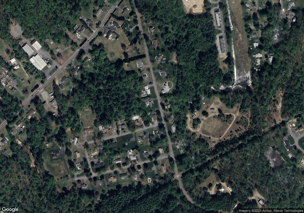
Map
Nearby Homes
- 310 Palmer Rd
- 201 West St
- LOT 3 Monson Turnpike Rd
- 201 Belchertown Rd
- 24 Clinton St
- 87 W Main St
- 30 Warebrook Village
- 7 Webb Ct
- 23 West St Unit 25
- 44 South St
- 60 Quaboag Valley Co Op St
- 378 Rondeau St
- 375 Belchertown Rd
- 67 Babcock Tavern Rd
- 48 North St Unit 1
- 3 Church St
- 79 Pleasant St
- Lot 16 Coldbrook Dr
- Lot 20 Coldbrook Dr
- Lot 22 Coldbrook Dr
Your Personal Tour Guide
Ask me questions while you tour the home.