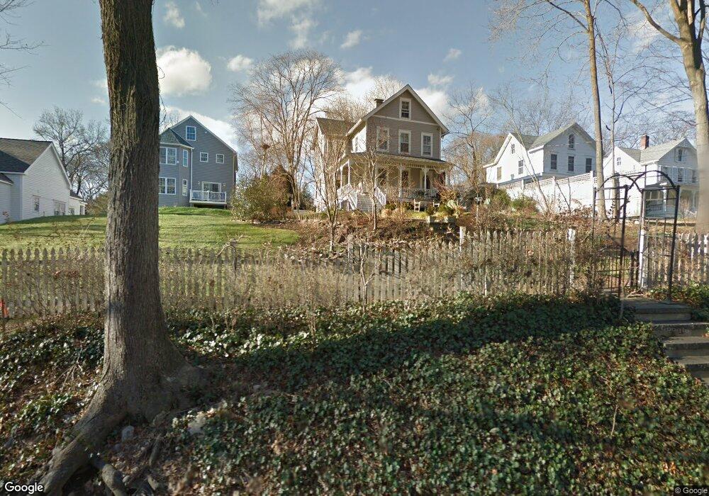
19 Raymond St Darien, CT 06820
Estimated Value: $1,497,261 - $1,775,000
3
Beds
3
Baths
1,985
Sq Ft
$844/Sq Ft
Est. Value
About This Home
This home is located at 19 Raymond St, Darien, CT 06820 and is currently estimated at $1,675,315, approximately $843 per square foot. 19 Raymond St is a home located in Fairfield County with nearby schools including Tokeneke Elementary School, Middlesex Middle School, and Darien High School.
Ownership History
Date
Name
Owned For
Owner Type
Purchase Details
Closed on
Aug 17, 1995
Sold by
Bartram Michael
Bought by
Grefe Richard and Vogel Karen
Current Estimated Value
Home Financials for this Owner
Home Financials are based on the most recent Mortgage that was taken out on this home.
Original Mortgage
$273,600
Interest Rate
7.63%
Mortgage Type
Unknown
Create a Home Valuation Report for This Property
The Home Valuation Report is an in-depth analysis detailing your home's value as well as a comparison with similar homes in the area
Home Values in the Area
Average Home Value in this Area
Purchase History
| Date | Buyer | Sale Price | Title Company |
|---|---|---|---|
| Grefe Richard | $342,000 | -- |
Source: Public Records
Mortgage History
| Date | Status | Borrower | Loan Amount |
|---|---|---|---|
| Open | Grefe Richard | $380,000 | |
| Closed | Grefe Richard | $275,000 | |
| Closed | Grefe Richard | $20,000 | |
| Closed | Grefe Richard | $273,600 |
Source: Public Records
Tax History Compared to Growth
Tax History
| Year | Tax Paid | Tax Assessment Tax Assessment Total Assessment is a certain percentage of the fair market value that is determined by local assessors to be the total taxable value of land and additions on the property. | Land | Improvement |
|---|---|---|---|---|
| 2025 | $11,674 | $754,110 | $488,740 | $265,370 |
| 2024 | $11,078 | $754,110 | $488,740 | $265,370 |
| 2023 | $10,145 | $576,100 | $375,900 | $200,200 |
| 2022 | $9,926 | $576,100 | $375,900 | $200,200 |
| 2021 | $9,702 | $576,100 | $375,900 | $200,200 |
| 2020 | $9,425 | $576,100 | $375,900 | $200,200 |
| 2019 | $9,488 | $576,100 | $375,900 | $200,200 |
| 2018 | $0 | $568,610 | $337,890 | $230,720 |
| 2017 | $9,189 | $568,610 | $337,890 | $230,720 |
| 2016 | $8,967 | $568,610 | $337,890 | $230,720 |
| 2015 | $8,728 | $568,610 | $337,890 | $230,720 |
| 2014 | $8,535 | $568,610 | $337,890 | $230,720 |
Source: Public Records
Map
Nearby Homes
- 209 Rowayton Ave
- 19 Littlebrook Rd
- 166 Rowayton Ave Unit 2
- 40 Arnold Ln
- 20 Indian Spring Rd
- 181 Highland Ave
- 9 Flicker Ln
- 111 Rowayton Ave Unit 201
- 73 Devils Garden Rd
- 1 Flicker Ln
- 108 Witch Ln
- 113 Rowayton Woods Dr
- 171 Rowayton Woods Dr Unit 171
- 19 Woodchuck Ct
- 5 Wakeman Rd
- 28 Old Trolley Way
- 13 Farm Creek Rd
- 18 Tokeneke Trail
- 74 Roton Ave
- 17 Pine Brook Ln Unit 17
- 23 Raymond St
- 25 Raymond St
- 14 Raymond Heights
- 27 Raymond St
- 26 Raymond St
- 18 Raymond Heights
- 15 Raymond St
- 17 Raymond Heights
- 15 Raymond Heights
- 24 Raymond St
- 19 Raymond Heights
- 20 Raymond St
- 14 Raymond St
- 13 Raymond Heights
- 37 Raymond St
- 13 Raymond St
- 267 Rowayton Ave
- 10 Raymond St
- 9 Raymond Heights
- 265 Rowayton Ave