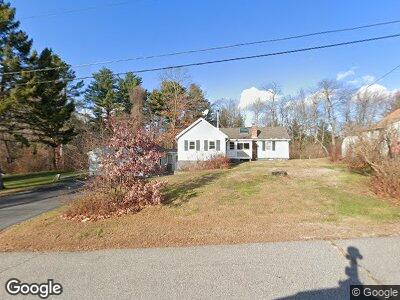
19 Roberts St Falmouth, ME 04105
Outer Falmouth NeighborhoodEstimated Value: $392,000 - $474,000
2
Beds
1
Bath
1,016
Sq Ft
$426/Sq Ft
Est. Value
About This Home
This home is located at 19 Roberts St, Falmouth, ME 04105 and is currently estimated at $432,618, approximately $425 per square foot. 19 Roberts St is a home located in Cumberland County with nearby schools including Falmouth Middle School, Falmouth High School, and St. Brigid School.
Ownership History
Date
Name
Owned For
Owner Type
Purchase Details
Closed on
Jun 17, 2019
Sold by
Talbot Richard W
Bought by
Richard W Talbot T
Current Estimated Value
Home Financials for this Owner
Home Financials are based on the most recent Mortgage that was taken out on this home.
Original Mortgage
$184,000
Interest Rate
4.1%
Mortgage Type
Stand Alone Refi Refinance Of Original Loan
Create a Home Valuation Report for This Property
The Home Valuation Report is an in-depth analysis detailing your home's value as well as a comparison with similar homes in the area
Home Values in the Area
Average Home Value in this Area
Purchase History
| Date | Buyer | Sale Price | Title Company |
|---|---|---|---|
| Richard W Talbot T | -- | -- | |
| Richard W Talbot T W | -- | -- |
Source: Public Records
Mortgage History
| Date | Status | Borrower | Loan Amount |
|---|---|---|---|
| Open | Valente David M | $201,142 | |
| Closed | Valente David M | $189,000 | |
| Closed | Richard W Talbot T W | $184,000 | |
| Previous Owner | Valente David M | $180,000 | |
| Previous Owner | Valente David M | $146,000 |
Source: Public Records
Tax History Compared to Growth
Tax History
| Year | Tax Paid | Tax Assessment Tax Assessment Total Assessment is a certain percentage of the fair market value that is determined by local assessors to be the total taxable value of land and additions on the property. | Land | Improvement |
|---|---|---|---|---|
| 2024 | $4,268 | $319,000 | $165,800 | $153,200 |
| 2023 | $4,025 | $318,400 | $165,800 | $152,600 |
| 2022 | $3,795 | $318,400 | $165,800 | $152,600 |
| 2021 | $2,774 | $181,400 | $94,300 | $87,100 |
| 2020 | $3,093 | $181,400 | $94,300 | $87,100 |
| 2019 | $3,060 | $181,400 | $94,300 | $87,100 |
| 2018 | $2,988 | $181,400 | $94,300 | $87,100 |
| 2017 | $3,938 | $181,400 | $94,300 | $87,100 |
| 2016 | $3,802 | $181,400 | $94,300 | $87,100 |
| 2015 | $2,654 | $181,400 | $94,300 | $87,100 |
| 2014 | $2,417 | $181,400 | $94,300 | $87,100 |
| 2012 | -- | $181,400 | $94,300 | $87,100 |
Source: Public Records
Map
Nearby Homes
- 539 Summit St
- 534 Summit St
- 77 Carter St
- 26 Basket Ln
- 60 Crestview Dr
- 55 Lambert St Unit 4
- 55 Lambert St Unit 12
- 94 Leighton Rd
- 106 Brook Rd
- 105 Brook Rd
- 67 Leighton Rd
- 25 Ballpark Dr
- 32 Jackson St
- 11 Cresfield Terrace Unit 11
- 71 Brook Rd
- 43 W Lynne Ave
- 19 Brookside Dr
- 48 Christy Rd
- Unit 1 Constellation Way Unit 1
- Unit 6 Constellation Way Unit 6