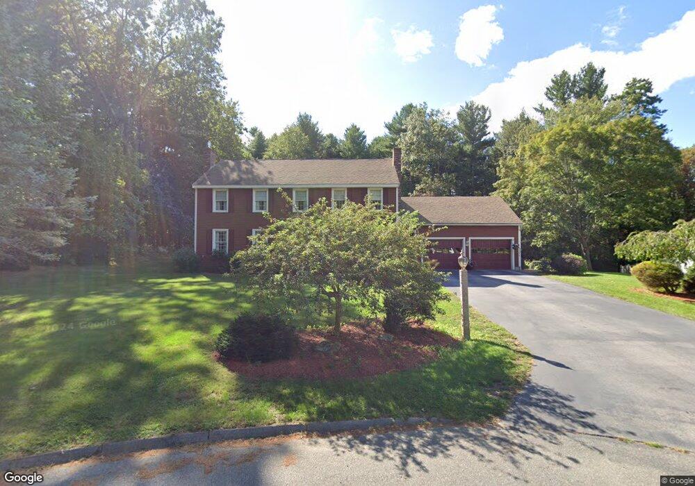
19 Thomas Rd Methuen, MA 01844
The West End NeighborhoodEstimated Value: $803,000 - $925,000
4
Beds
3
Baths
2,688
Sq Ft
$321/Sq Ft
Est. Value
About This Home
This home is located at 19 Thomas Rd, Methuen, MA 01844 and is currently estimated at $863,149, approximately $321 per square foot. 19 Thomas Rd is a home located in Essex County with nearby schools including Marsh Grammar School, Methuen High School, and Fellowship Christian Academy.
Ownership History
Date
Name
Owned For
Owner Type
Purchase Details
Closed on
Jun 11, 2025
Sold by
Giantonio Ronald J
Bought by
Giantonio Rt and Giantonio
Current Estimated Value
Purchase Details
Closed on
Jul 2, 1987
Sold by
Smith Thomas
Bought by
Giantonio Ronald
Create a Home Valuation Report for This Property
The Home Valuation Report is an in-depth analysis detailing your home's value as well as a comparison with similar homes in the area
Home Values in the Area
Average Home Value in this Area
Purchase History
| Date | Buyer | Sale Price | Title Company |
|---|---|---|---|
| Giantonio Rt | -- | None Available | |
| Giantonio Rt | -- | None Available | |
| Giantonio Ronald | $295,000 | -- |
Source: Public Records
Mortgage History
| Date | Status | Borrower | Loan Amount |
|---|---|---|---|
| Previous Owner | Giantonio Ronald | $118,000 | |
| Previous Owner | Giantonio Ronald | $120,000 | |
| Previous Owner | Giantonio Ronald | $126,000 | |
| Previous Owner | Giantonio Ronald | $45,000 |
Source: Public Records
Tax History
| Year | Tax Paid | Tax Assessment Tax Assessment Total Assessment is a certain percentage of the fair market value that is determined by local assessors to be the total taxable value of land and additions on the property. | Land | Improvement |
|---|---|---|---|---|
| 2025 | $8,042 | $760,100 | $309,000 | $451,100 |
| 2024 | $7,851 | $722,900 | $271,800 | $451,100 |
| 2023 | $7,559 | $646,100 | $240,500 | $405,600 |
| 2022 | $7,309 | $560,100 | $209,400 | $350,700 |
| 2021 | $6,905 | $523,500 | $199,100 | $324,400 |
| 2020 | $6,858 | $510,300 | $199,100 | $311,200 |
| 2019 | $6,767 | $476,900 | $188,700 | $288,200 |
| 2018 | $6,617 | $463,700 | $188,700 | $275,000 |
| 2017 | $6,465 | $441,300 | $188,700 | $252,600 |
| 2016 | $6,469 | $436,800 | $188,700 | $248,100 |
| 2015 | $6,193 | $424,200 | $188,700 | $235,500 |
Source: Public Records
Map
Nearby Homes
Your Personal Tour Guide
Ask me questions while you tour the home.